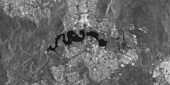
A Sentinel-1 annual mosaic over Viti Levu, Fiji. This is mean VV in decibels. (I think in decibels!)
What is the most useful way to do an annual summary product from Sentinel-1?
New CEOS-ARD Dataset! @CSIRO's 14 different #NovaSAR Normalised Radar Backscatter products, including ScanSAR and StripMap modes, in various polarsations, resolutions and swath widths. Congratulations to the team!
Find out more: https://t.co/1DzMUtT5dn
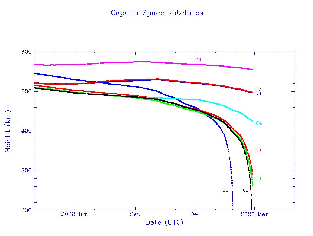
The @capellaspace Capella 5 radar sat reentered on Feb 23. Of the 8 Capella sats launched so far, it looks like the first 5 are on their way to reentry:
At the @CEOSdotORG SAR Calibration/Validation workshop this week. Big space agencies discuss SAR data quality, higher level products & more. Thanks @csa_asc for hosting! 🛰️
@capellaspace, @mouthofmorrison, @ICEYEfi we miss you here 😢. Please join us next time!!
#GoldenAgeOfSAR
🆕soil moisture maps at 1 km resolution with @CopernicusEU#Sentinel1 data😱
This degree of resolution will make it possible to assess the availability of water and better predict drought over narrower swathes of land: https://t.co/YE5ysMIROG
(📸soil moisture Italy - June 2022)
The "State of Commercial Earth Observation: 2022 Edition" is live on @terrawatchspace. In this piece, I attempt to demystify the EO sector with the help of four infographics.
1. The EO Operating Stack: An overview of the companies across the value chain
A relatively new installation at @CSIRO Boorowa farm for the Australian CosmOz Soil Moisture Monitoring Network. Good work @TERN_Aus to support this important work in the southern cropping region.
Live data feed: https://t.co/g8T1KLJvHv
#soil@AgChatOZ#soilmoisture@Farm_Link
We have just announced with the European Commission that the @CopernicusEU#Sentinel1 B satellite can no longer deliver radar data.
This were the conclusions of the Anomaly Review Board:
https://t.co/N1CBYtxZw3
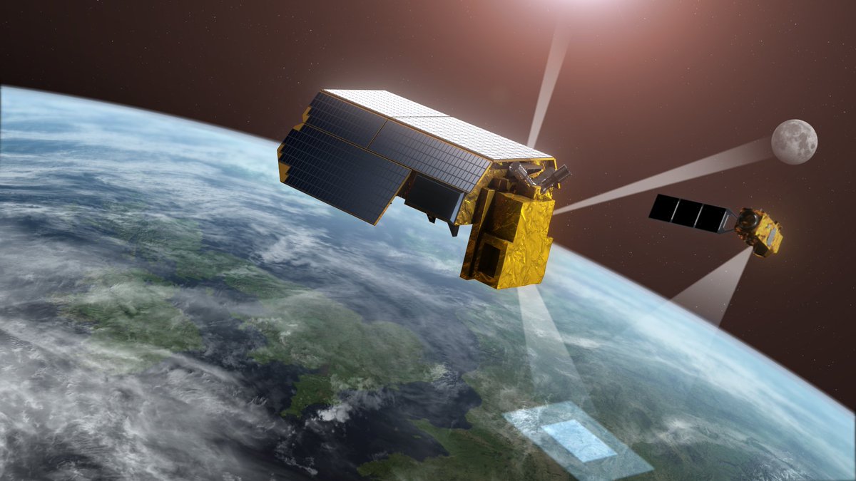
Decision-makers need to be confident in the data they use for mitigation strategies and policymaking.
👉TRUTHS, a new @esa mission, will do just this – and, now having passed an important milestone, it is one step closer to becoming a reality https://t.co/TiA6MHvJlZ
#EMSR586 Floods in New South Wales, #Australia🇦🇺
Heavy rain⛈️ has hit the areas of #NSW that had already been affected by floods🌊 a few months ago
Our #RapidMappingTeam has been activated to monitor the consequences
Updates soon at👇
https://t.co/vXu8pMN8D2
We are embarking on an exciting new project to reduce earthquake disaster risk in PNG! We will be collecting new #GNSS and #InSAR data to assess the EQ potential on the Ramu Markham fault. See also: https://t.co/6A0KBNcrfI
We are working with our partners in #PNG to better understand the earthquake risk from the Ramu-Markham Fault thanks to @DFAT.
Learn more 👉 https://t.co/UbCLzie19s
📸 Hadi Ghasemi installing seismic monitors in PNG in 2019
#GACommunitySafety#DisasterRiskReduction
Papua New Guinea's 2nd-largest city, Lae, sits adjacent to a major active tectonic plate boundary.
Oral histories talk about a major tectonic event 250 years ago, which changed the course of a river flowing through Lae today.
@GeoscienceAus
https://t.co/QnPVUouiAK