A big round of applause for our @EsriUC Map Gallery winners! 🏆
Your creativity, storytelling, and cartographic skills continue to inspire us. Explore the winning maps and all the incredible entries for this year's Map Gallery. 🗺️ https://t.co/huxawVHhEg
#EsriUC2026
Learn ArcGIS workflows with an expert! 🌍😎 Our instructor-led courses cover everything from ArcGIS Enterprise to spatial analysis and more. Explore the catalog today: https://t.co/0e1d5CLfFU
Exciting announcement! 📣🤩
A new version of Esri Academy is arriving on August 15. The redesign will make it easier to find, share, start, and complete #GIS and #ArcGIS training.
Learn about what is coming: https://t.co/AQYHGCYniv
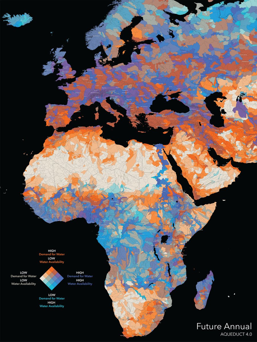
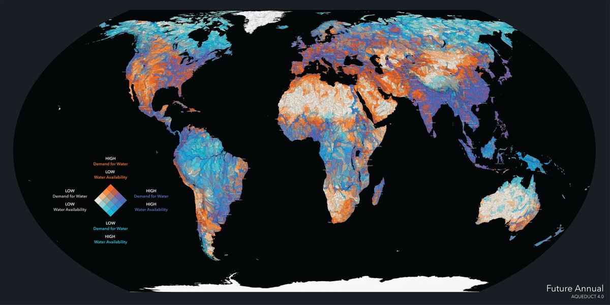
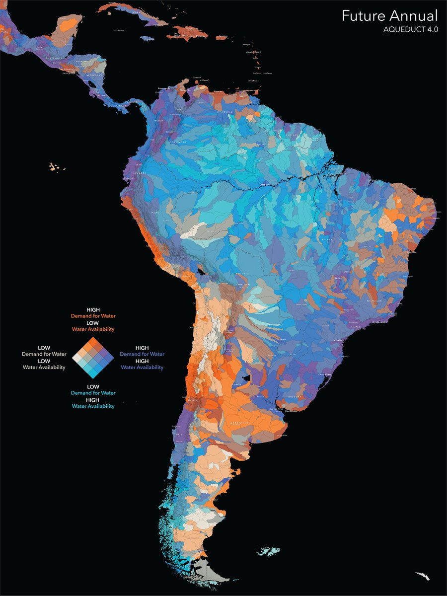
How will freshwater availability change in 50 years? 💧
The Aqueduct 4.0 Global Water Risk dataset from @WorldResources helps us prepare for future needs. Available in ArcGIS Living Atlas: https://t.co/NF87lJj3AR
#hydrology#conservation
🎨Alternative text. Color contrast. Headings and repeatable structure.
Little choices have big impacts on a story's #accessibility. Learn the basics in this NEW tutorial series—Foundations of accessible storytelling with #maps. https://t.co/QUeuQhS2Vo
#GAAD#StoryMaps
Ocean currents are vital to life on Earth, regulating climate and transporting nutrients and organisms. This animated map from @NASA’s Scientific Visualization Studio (SVS) highlights ocean currents at different depths. 🌊 https://t.co/NPEUA5ZNEs
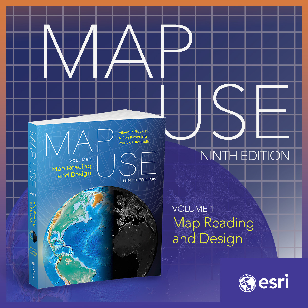
A cartographic classic returns. 🗺️
Trusted by students and professional cartographers for the past 50 years, "Map Use" is now available in a new edition focused on mapmaking and reading.
🔸Learn more: https://t.co/kIPlglEPKt
See what's new in @ArcGISOnline. 🙌 The latest updates include:
🔸Enhanced style capabilities in Map Viewer
🔸New and updated analysis tools
🔸More dynamic mapping and sharing capabilities, and much more!
Check it out: https://t.co/y4E9GiXY2u
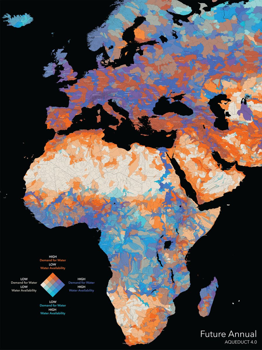
How will freshwater availability change in 50 years? The Aqueduct 4.0 Global Water Risk dataset from @WorldResources helps us prepare for future needs. Available in ArcGIS Living Atlas: https://t.co/ipFLVPzRZK
#hydrology#conservation
What did your city look like decades ago? Explore more than 180,000 historic @USGS topo maps from across the US with the Historical Topo Map Explorer. https://t.co/bfRtzPJooJ
Featured:
📍Portland, Oregon (1897)
📍Boston, Massachusetts (1903)
📍San Francisco, California (1948)
That's us! 🌍
The Artemis II crew captured beautiful, high-resolution images of our home planet during their journey to the Moon. As @Astro_Christina put it: "You guys look great."