HOW TO MAKE A MAP LIKE THIS ONE IN QGIS:
1. Download the SRTM 1 Arc-Second Global data for your region of interest from the USGS Earth Explorer website (https://t.co/NC9hoY5NjI).
2. Build a virtual raster in QGIS if you have several tiles.
No matter where you are, you can't miss our 24-hour telemapathon!
This Dec 4th, join us for a celebration of the power of giving, be it time, funds or skills.
#MapGiveImpact
Register here: https://t.co/Ab13OrbHyu
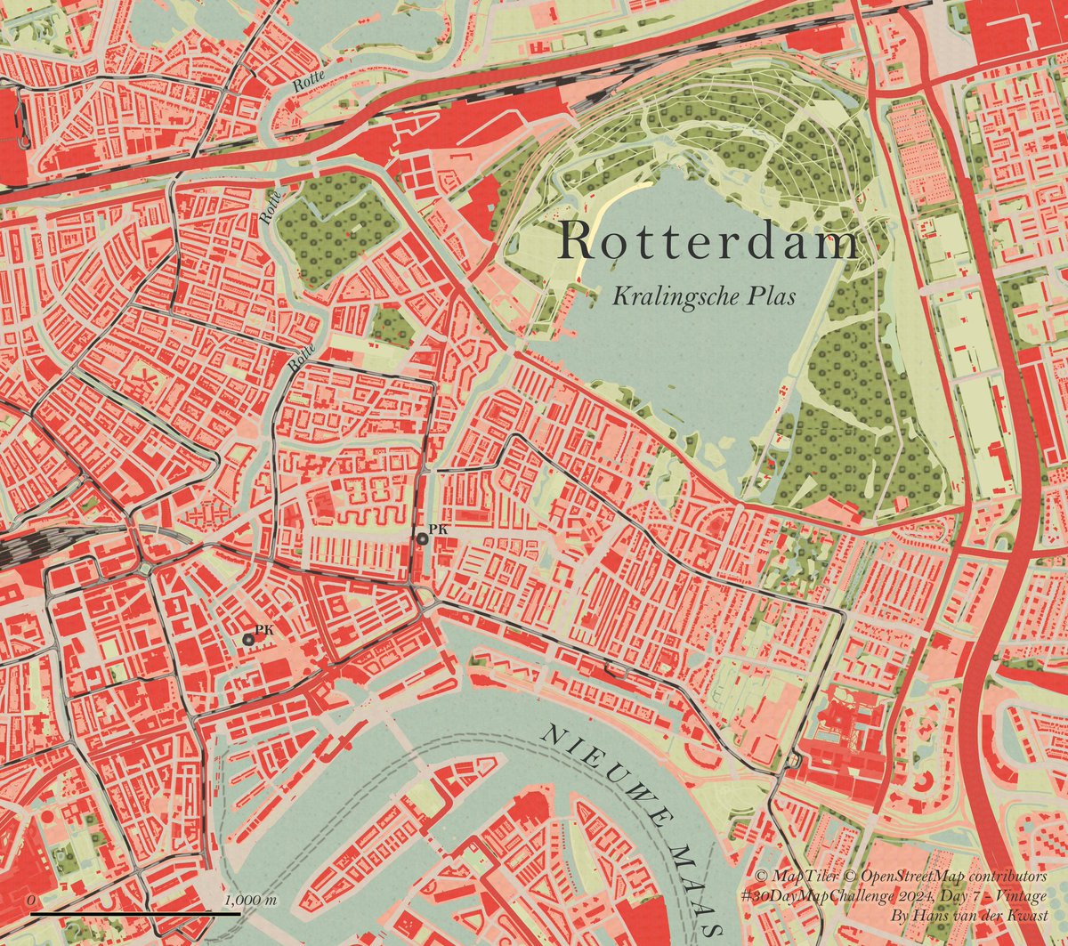
#30DayMapChallenge Day 7: Vintage
I explored beautiful historic maps of #Rotterdam using the TopoTijdReis plugin in #QGIS. Sampled colours from a 1948 map and adjusted the #OpenStreetMap#VectorTile from @MapTiler with the samples using Raster Image Fill and Raster Line.
🧭 Master the Art of GIS!
Our comprehensive GIS course takes you from understanding basic concepts to applying advanced spatial analysis techniques. Perfect for students, professionals, and anyone curious about GIS! 🎓
https://t.co/7P52hKfrrt
#Education#GISCourse#GIS
🐝 This map bee-longs in your feed! Using H3 binning, it highlights bee sightings reported to @inaturalist across the region from March to September 2024.
Map by @mamataakella
Data courtesy of @iNaturalist#30daymapchallenge
Day 4 - Hexagons
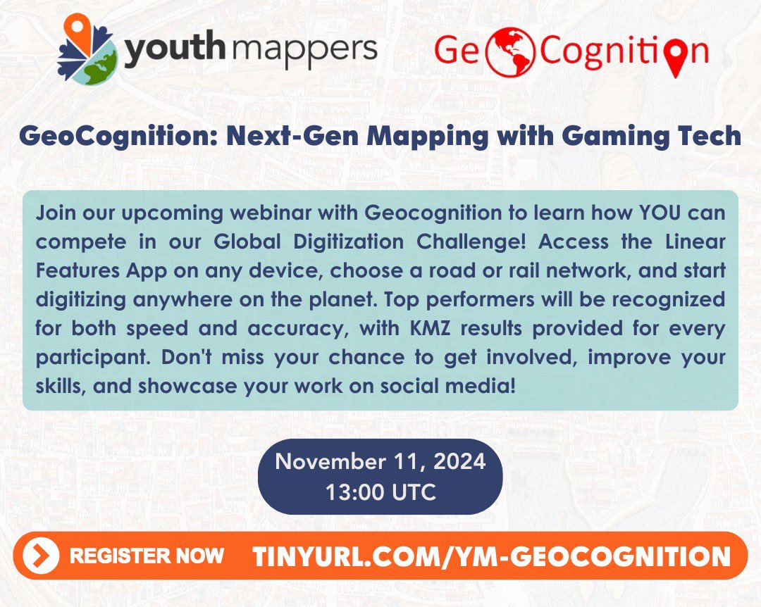
🌍 Join our webinar with GeoCognition to learn how YOU can compete in the Global Digitization Challenge! Digitize roads and rail networks anywhere with the Linear Features App & showcase your skills! 🏆
📅 11 Nov 2024 @ 13:00 UTC
🔗 Register now: https://t.co/r5JMQHqANq
👉👉 Inundated #Vegetation Mapping Using #SAR Data: A Comparison of Polarization Configurations of #UAVSAR L-Band and #Sentinel C-Band
✍️ Abdella Salem and Leila Hashemi-Beni
🔗 https://t.co/AHKFlVX9de
Did you miss HOT Training Working Group's Webinar on Basic Waterways Mapping?
Don't worry!
You can watch it on our YouTube channel: https://t.co/zDwsRO349W
👋👋 #SoilMoisture Mapping with Moisture-Related Indices, #OPTRAM, and an Integrated #RandomForest-OPTRAM Algorithm from #Landsat8 Images
✍️ Umesh Acharya et al.
📎 https://t.co/m3713z0sZp
We're excited to share new updates on the Sketch Map Tool, including a video introduction, enhanced data security protocols, and opportunities for users to contribute to tool improvement through Sketch Map submissions: https://t.co/0ffpQlZygw
Did you miss our Intro to #JOSM training on October 4? No worries, the recording is now available on our YouTube Channel!
🔗https://t.co/UertF2hQ6D
Register for the Advanced #JOSM training on November 1 🔗https://t.co/hqZrzFZBbO at 15h UTC.
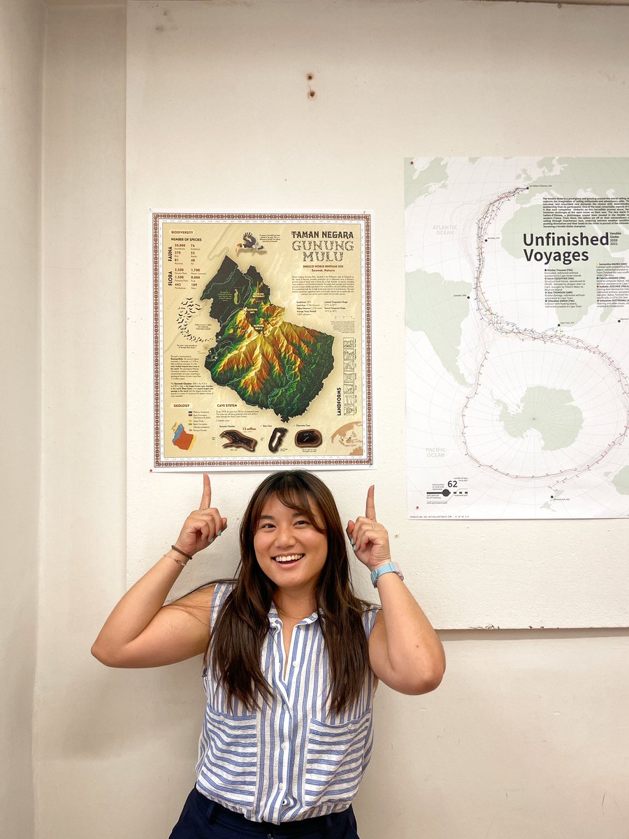
Vienna semester done 🎉✅ Here is my printed map created for our semester project! Gunung #Mulu is a remote yet majestic #NationalPark in my home country #Malaysia. 🇲🇾☺️
#cartography#maps
Our AI Legal Description converter is now available on our website! You can now upload a document from your computer on our dashboard and download the DXF polygon, no special software required
And if you want to use this AI in QGIS, don't worry—it's still accessible!
#QGIS is getting better everyday thanks to resourceful open source community,
Happy to share something new I learnt this week
𝗗𝘆𝗻𝗮𝗺𝗶𝗰 𝗺𝗮𝘀𝗸𝗶𝗻𝗴 𝗹𝗮𝘆𝗲𝗿 𝗶𝗻 𝗤𝗚𝗜𝗦 which is easy to make and I think it can be helpful whenever you are explaining things
There are good reviews on time series analysis on land cover classification and change detection, but what about time series analysis in various remote sensing data and applications? Prof. Fu has led this nice review with 12 domain scientists:
https://t.co/BsEgRkrvYi