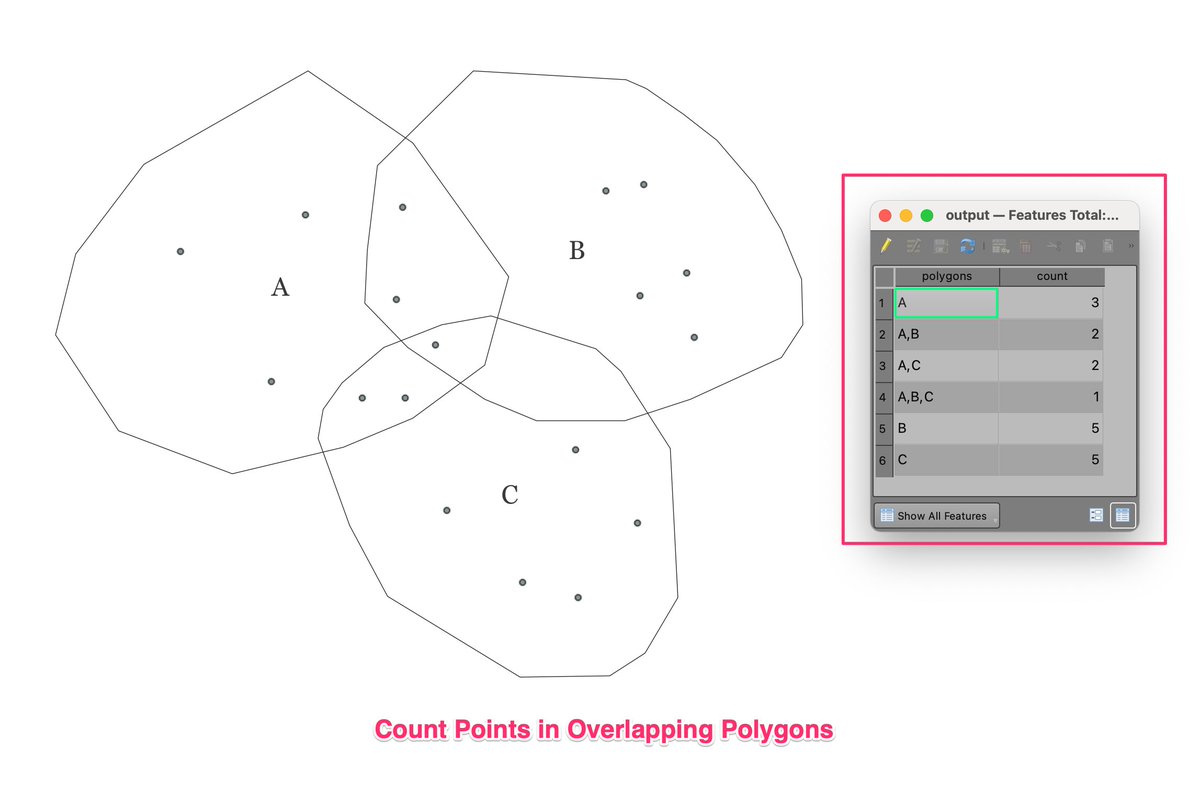
New #SpatialAnalysis Challenge: Count points in overlapping polygons and assign counts to each part. See the attached picture for desired output. See the thread below for more details
Graun em blo mi, mi tok yu go. Yu harim tok na yu igo. Wankain, sapos ol man kam sindaun lo graun blo yu. Sapos yu tokim ol lo go, ol imas harim tok na go
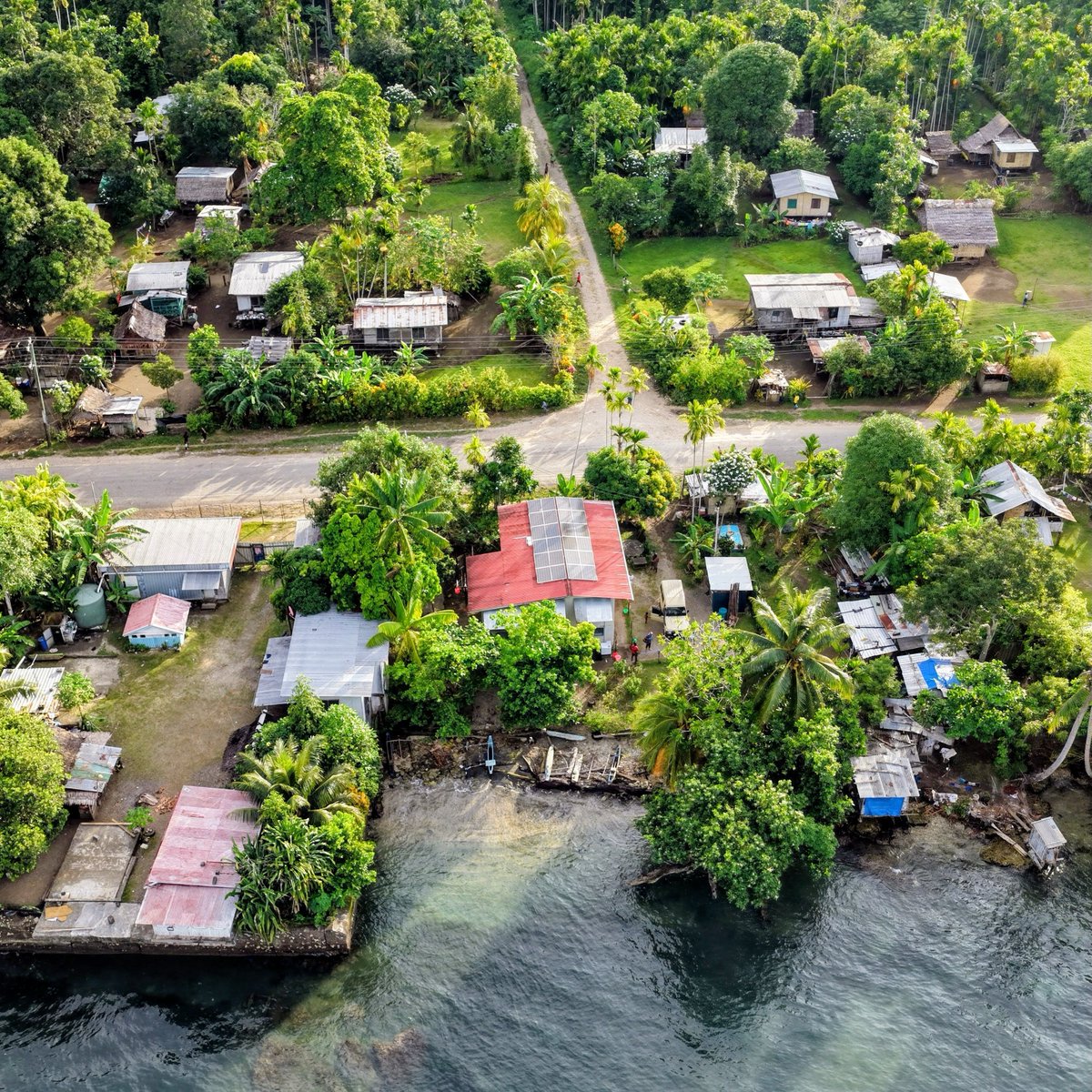
Settlements throughout PNG must be completely dismantled. You want to live in the city, buy a property. Tired of freeloaders
Introducing two new DEM indices for measuring hydrological connectivity in #WhiteboxTools, downslope unsaturated length (DUL) and upslope disconnected saturated area (UDSA). Read more in the link below. #hydrology#GIS#gischat#GeoNews#geospatial
https://t.co/CaW4mTelps
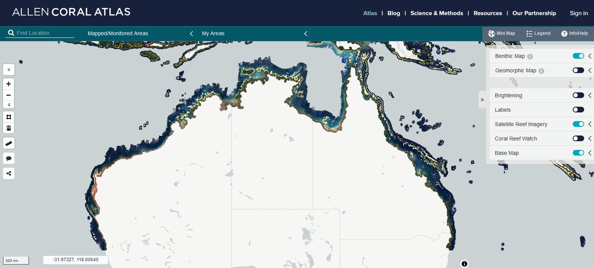
Great to work with @RSRC_UQ global Geomorphic and Benthic habitat mapping team. See the lastest for all Australian shallow tropical Coral Reefs, free download from https://t.co/ycukR0Yt0g In partner ship with @asnerlab@NatGeo @GBRFoundation @planetlabs @AllenCoralAtlas
After hearing from many people who were interested in my #QGIS and #Python courses, but could not afford the online instructor-led classes - I have made all 6 courses available for free for self-study. Full material and data packages are at https://t.co/Sgy4zsx6rT
Had a pleasure of volunteering with Center for Social & Creative Media (CSCM) at the University of Goroka (UoG) during the 2020 summer in Papua New Guinea. Thanks to this experience I've learnt the value media can play in voicing peoples realities.
https://t.co/Eit6jD3OA7
I support hard working, dedicated, community engaged, equal employing, law abiding business owners regardless of race, religion, or gender! 💯
A one finger salute to all those who think otherwise! 😎
#AsiansHelpedBuildPNG#StopComplaining