@UNOSAT has released initial estimates of flood and landslide extent in Rasuwa district, Nepal, using Sentinel-2 & Planet imagery to support damage assessment & coordination of relief efforts on the ground.
➡️: https://t.co/Ki8g64RzWz
#Nepal#DisasterResponse#SatelliteImagery
Following the International Charter activation for #Bangladesh, our FloodAI Dashboard is continuously monitoring flood conditions and providing up-to-date exposure statistics to @WFP and other humanitarian partners.
https://t.co/ybY4PeG06X
@Bangladesh@WFP@DisastersChart
Did you know about our collaboration with the UNCT in Cabo Verde following severe storms last summer? See our exchange with @PatPortelaSouza highlighting how we supported the full disaster cycle from emergency response to recovery and long-term resilience: https://t.co/rAyNcic7Zn
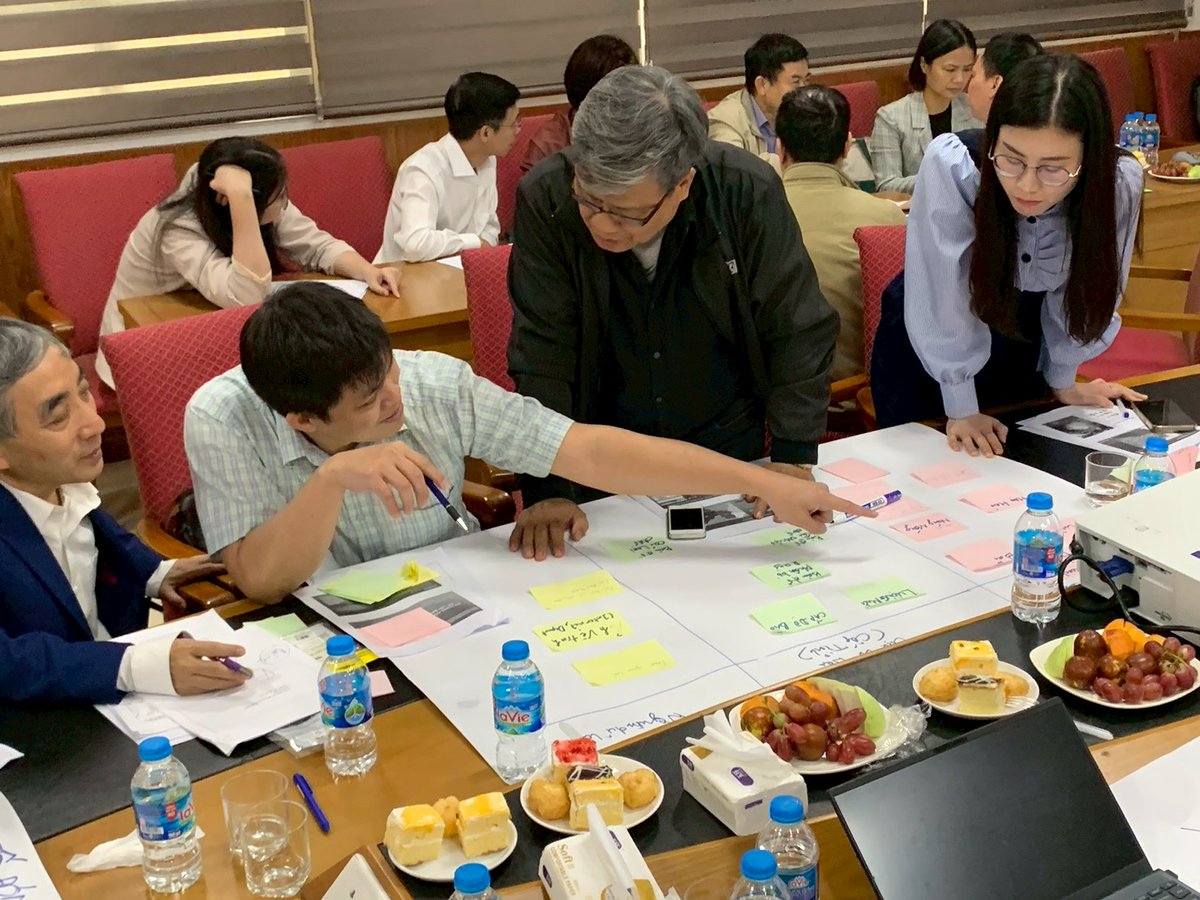
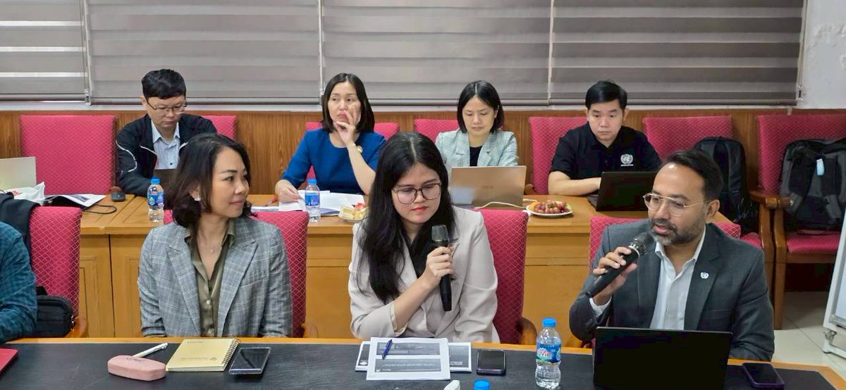
We joined the Climate Displacement Workshop by ISPAE (Viet Nam) and SPP-CMU (Thailand) to present our work on mapping displacement risk using geospatial technologies. We also shared Thailand’s case on risk assessment and contributed to discussions on decision support systems.
Happy #WorldMaritimeDay! For years, UNOSAT has contributed to safer & sustainable ocean: from analysing maritime piracy and vessel detection to oil spill mapping. This week, we're sharing our experience with the Malaysian Maritime Enforcement Agency. Let's protect our ocean!
#Pakistan Floods @OCHAAsiaPac@UNinPak@OCHAPakistan Consult our latest satellite-based analysis for the current floods in Punjab (Pakistan).
~90,000 km2 analysed
~3700 km2 of land likely flooded
➡️https://t.co/ERDxPiKM6c
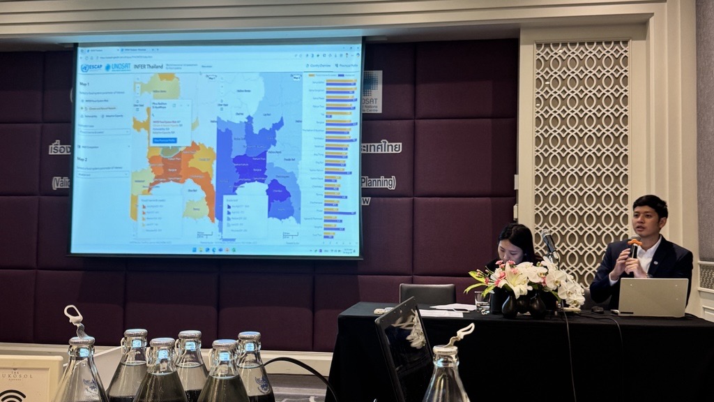
Agriculture and food systems are central to Thailand’s economy and resilience. Together with @UNESCAP, the Ministry of Agriculture and partners, we validated the Subnational INFER Tool to reflect local realities and guide risk-informed policies.
➡️https://t.co/nAnFJZR5rT
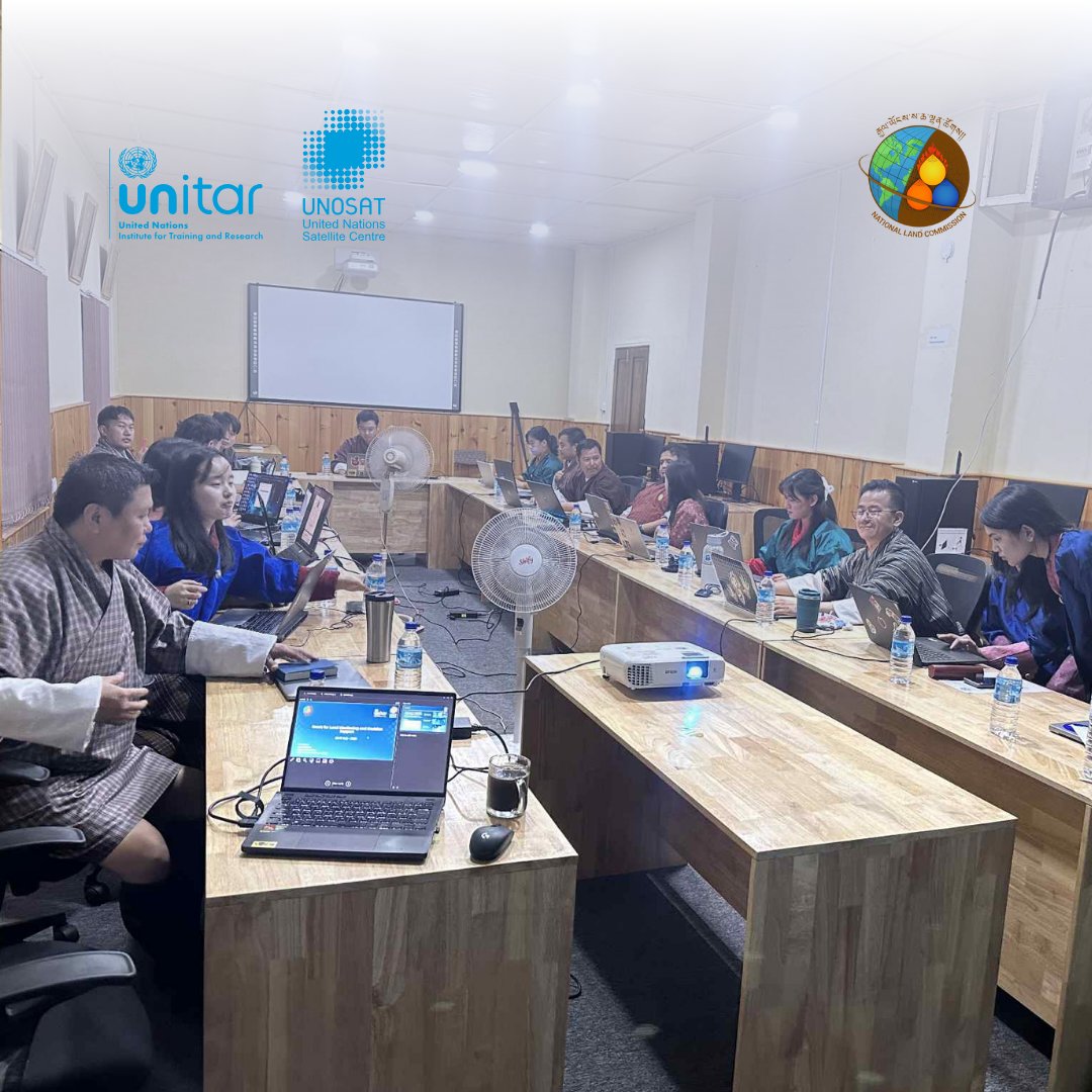
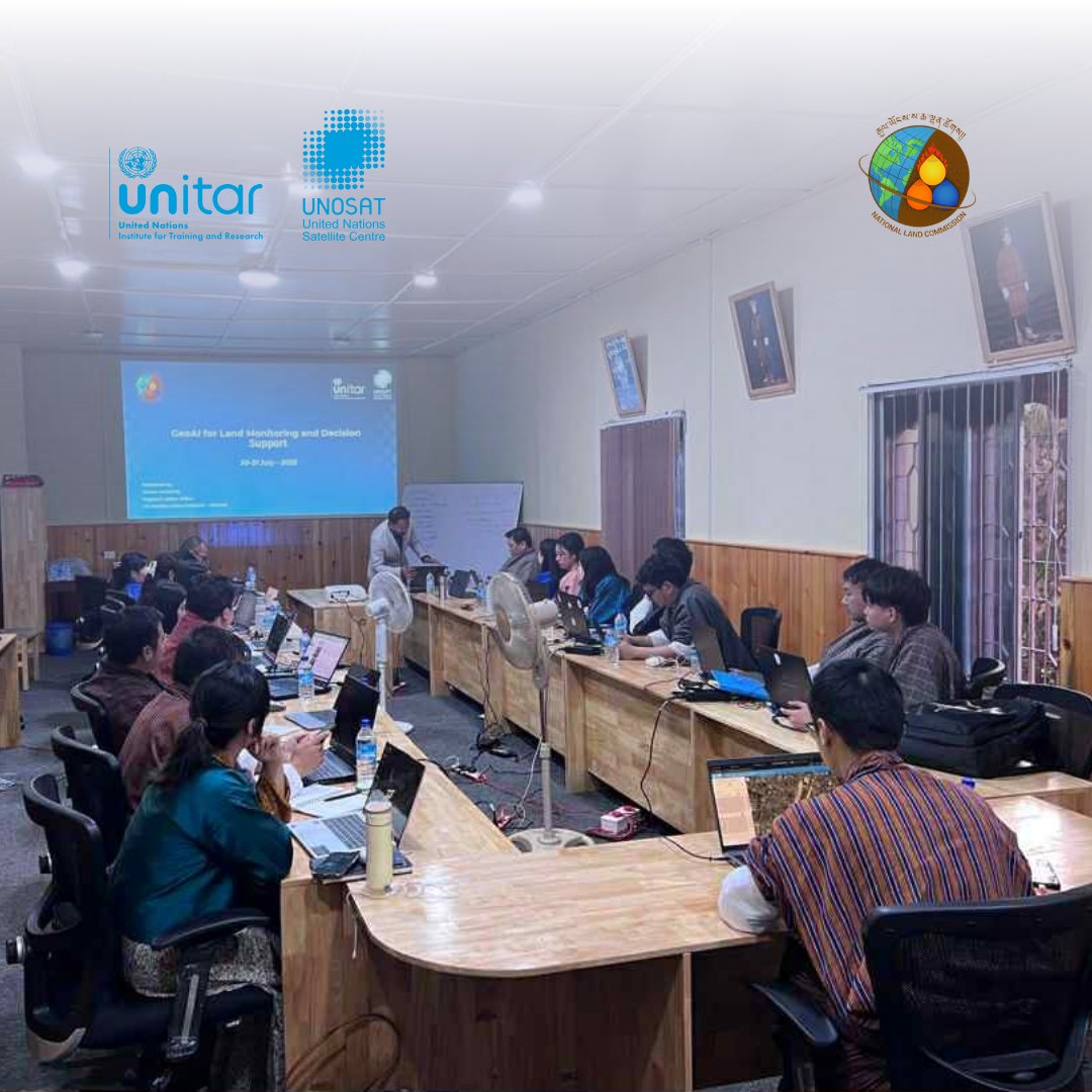
We’ve successfully concluded our #GeoAI Training on Land Monitoring in #Bhutan! A big thank you to all national experts who joined us to explore deep learning and super-resolution for sustainable land management.
@nlcsbhutan
We’re excited and proud to launch our new #GeoAI Training on Land Monitoring in #Bhutan 🇧🇹, co-organized with our long-term partner @nlcsbhutan — empowering national experts with advanced tools such as deep learning and super-resolution.
#UNOSAT#RemoteSensing#Training
RCMRD Milestones: #RCMRDat50
📍 1982-Renamed to Regional Centre for Services in Surveying, Mapping and Remote Sensing (RCSSMRS) to reflect expanded focus including Remote Sensing.
🏢 By June 1985, the Centre moved to its permanent home in Kasarani, Nairobi.
📍 1983- Canada through International Development Research Centre (IDRC) supported cartography programmes and as a result of that a Department of Cartography was established-boosting capacity in mapping and spatial data.
📍 1984-🇫🇷 France (French Technical Assistance) backed the Remote Sensing Department.
🛰️ Enabled purchase of SPOT satellite imagery and training in satellite image interpretation.
#RCMRDat50 #RCMRDanniversary
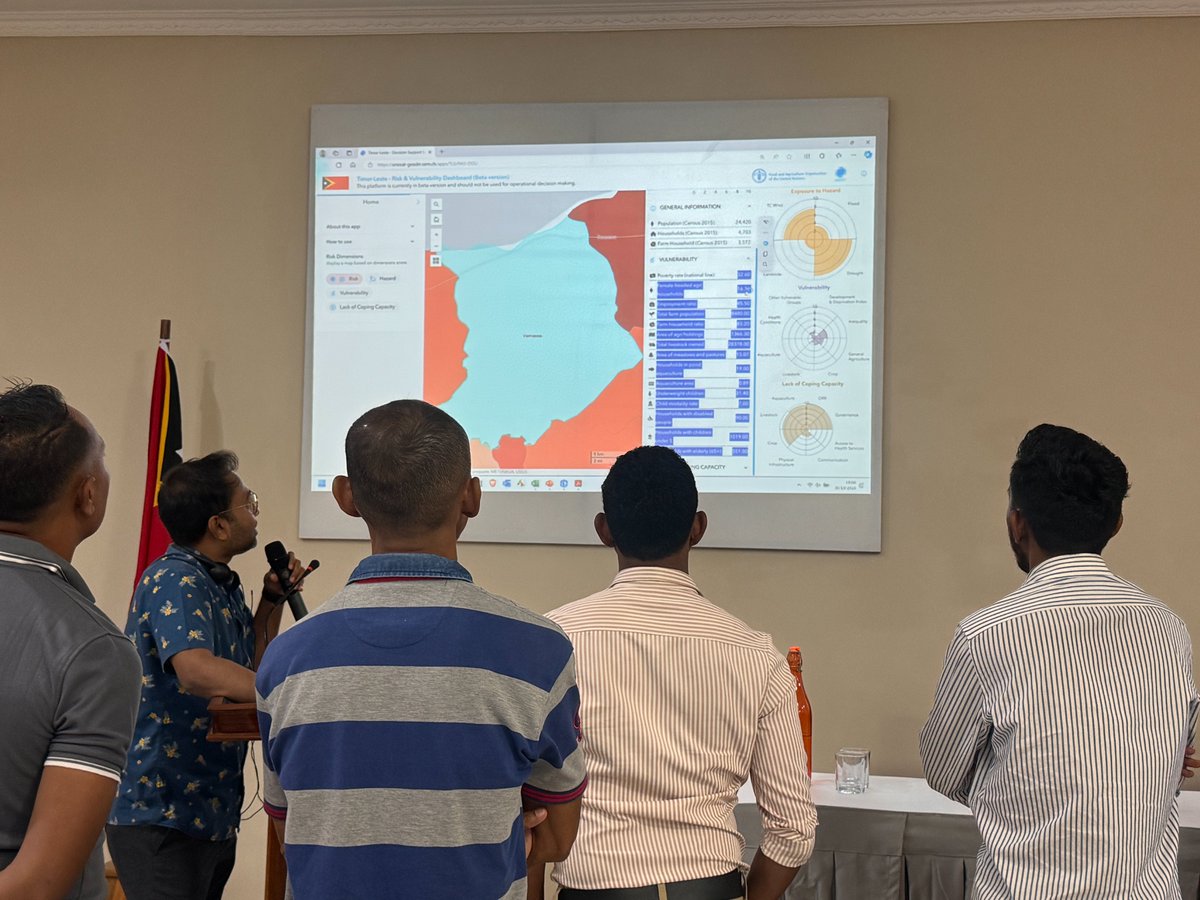
Together with stakeholders in Lao PDR & Timor-Leste, we dove deep into the functionalities of the Risk & Vulnerability Mapping Dashboard, developed in partnership with @FAOAsiaPacific!
With their insights, we aim to make the tool more robust to support resilient agriculture.
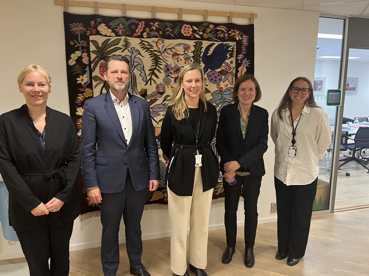
Thanks to Norway for its long standing support to our Emergency Mapping Service. We reviewed its benefits for the UN agencies and impacts on people in need of humanitarian assistance and justice.@norad @NorwayMFA @UNITAR
We have successfully concluded our advanced GIT training on drought monitoring with @FMEnvng.
Looking forward to the future applications of GIS and remote sensing in Nigeria. 🌍🛰️
@UNOSAT#GIT#EnvironmentalMonitoring
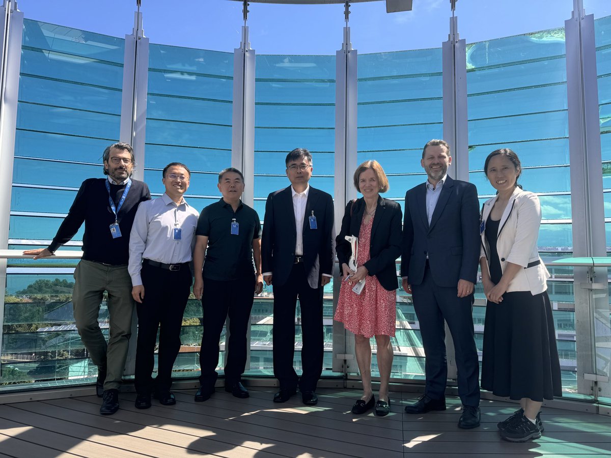
🌍 Yesterday, @UNOSAT hosted a productive meeting with @AIRCAS_CHINA to discuss our past collaborations and future initiatives in disaster response and satellite data sharing. #DisasterResponse#SatelliteData#UNOSAT#AIRCAS
🇧🇩 Flood impact in Sunamganj Sadar and Bishwambarpur Upazilas, Sunamganj District, Sylhet Division, Bangladesh, as of 26 June 2024.
About 120 km² of land, 25,800 structures, and 260 km of roads potentially affected.
📸: https://t.co/0lUj5YXreq
#FloodAssessment#BangladeshFloods
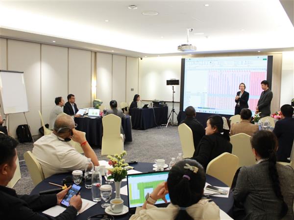
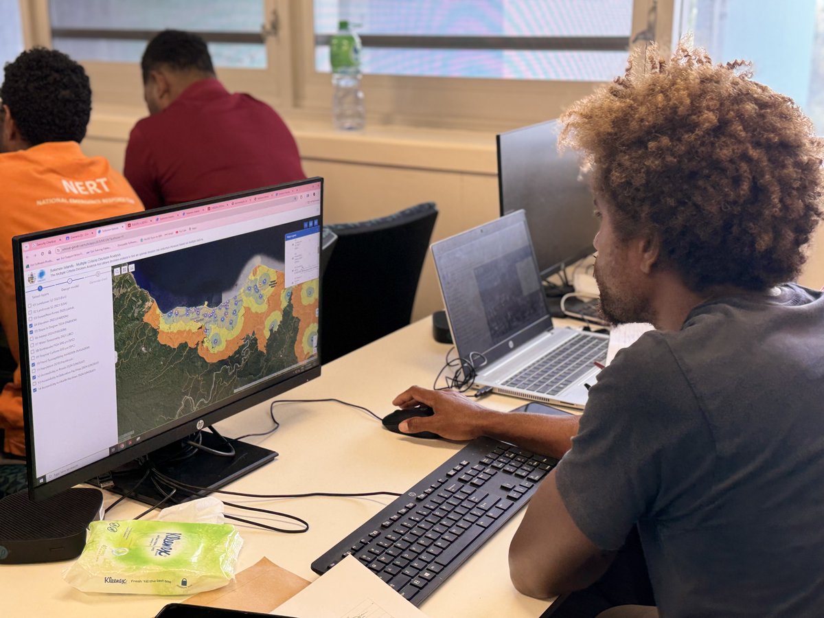
We are overjoyed with today's vibrant and dynamic session with our amazing participants in the Solomon Islands during UNOSAT's Geospatial Decision Support System training! Your energy and active involvement were off the charts! 🚀🌍 #UNOSAT#Geospatial#Training#SolomonIslands