Here’s how Nepal regenerated its forests 🌲:
From 1992 to 2016, forest cover in the country almost doubled. A study using #Landsat data and interviews with people in Nepali villages found that community-led forest management was associated with regrowth.
https://t.co/Olxz7zYVei
(1/2) In this #UAVSAR Pauli color decomposition, Salt Lake City appears in shades of red because of the way the vertical structures of the city 🏙️ reflect the transmitted radar signals back to the aircraft ✈️
This afternoon, @LadiesOfLandsat lead important conversations about diversity in the Remote Sensing sphere.
Founder Kate Fickas reminds us of the key questions she asks when thinking about inclusion in #STEM fields: Who's at the table? Who's missing? How can we support them?
Need a pick-me-up today? I highly encourage you to watch our newest @LadiesOfLandsat case study video highlighting the inspirational @nikkitulley🤩 Nikki grew up without running water 🚰 and now uses #Landsat to help her Navajo Nation community monitor this valuable resource 💧🛰️
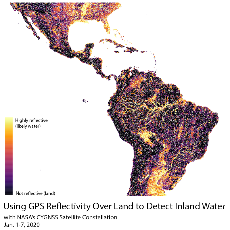
Hi #SciCommSeptember. I study methods for observing inland water using #GPS signals. This is especially useful in densely vegetated regions, like the Amazon Rainforest, where optical methods have trouble seeing. #scicomm#WomenInSTEM
Then, if you don’t have experience by the time you graduate you have to settle for the bottom-barrel job, if you’re lucky to get one at all. This is one of the many unseen barriers low income students face in #STEM (and nearly every other major). #WomenInSTEM#diversityinSTEM
It’s #careerfair season, so this needs to be said: Internships that seek out candidates who have volunteer experience are, in effect, classist and exclude both low income students and students with children from consideration. #STEM#WomenInSTEM#diversityinSTEM
Please consider donating to support the Environmental #STEM program at Summit Road Elementary! EVA TONEY would love your support for the Summit Road STEM Elementary 1st Annual Walk-A-Thon! https://t.co/hlu6PaF2IC via @99pledges#WomenInSTEM
For #EarthDay this year, I wrote about making #maps of #rivers, and how some of them have changed significantly, using #remotesensing data. Included are the Amazon River, Ohio River, and Innoko River of Alaska. Check it out here:
https://t.co/fUbVsMbPsm
This is intense
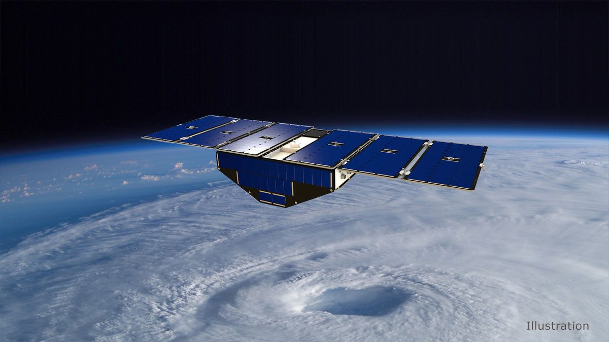
@NASA’s CYGNSS uses the same GPS signals you use to get to work to see through hurricanes. Here's how the satellite constellation measures winds to see storms more clearly: https://t.co/bbN0OUhvAJ
In honor of #WorldWetlandsDay2021 I plotted 5 years of daily water depth (left) and extent (right) in and surrounding the Everglades National Park, a #Ramsar Wetland of International Importance. Dataset: #Everglades Depth Estimation Network. #RestoreWetlands#womenintech