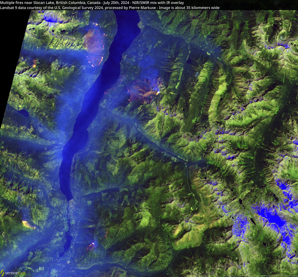
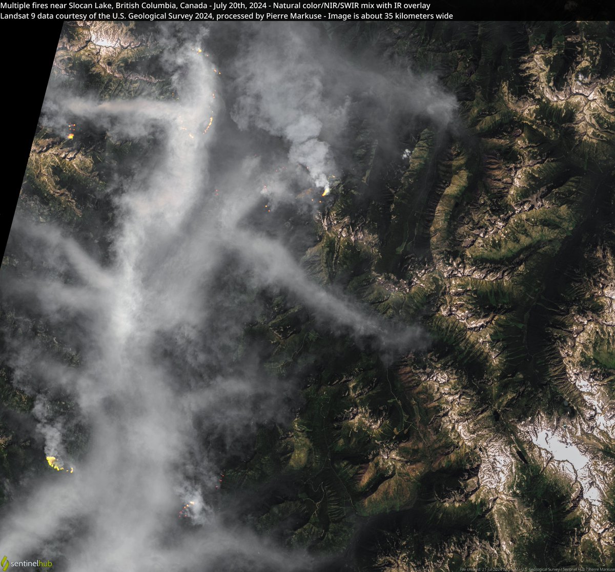
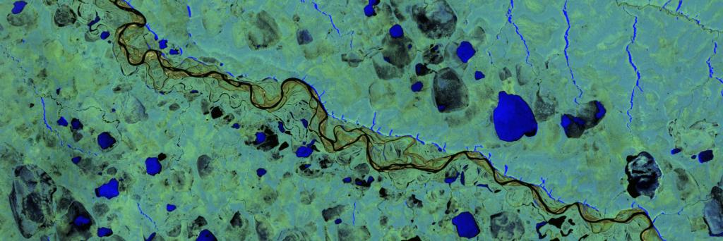
If you focus on the smallest details, you never get the big picture right. But sometimes exactly that makes everything simply beautiful. #EarthObservation
Planet has signed an enterprise agreement with Slovenia's Surveying and Mapping Authority (GURS) 🇸🇮 to provide high-cadence satellite imagery and tasking capabilities.
This deal establishes a unified spatial data resource, supporting the country's civil public administration in:
🌳 Agriculture & Forest Monitoring
🏙️ Urban & Infrastructure Planning
🔥 Rapid Disaster Response
Read more: https://t.co/pAUxqbHCvQ
On Friday, we launched 36 SuperDoves into orbit on @SpaceX’s Transporter-11 Mission, and today, our “first light” satellite images are already here!
This is the fastest we’ve ever received our first light data; and gee wiz(!), the world is looking beautiful!
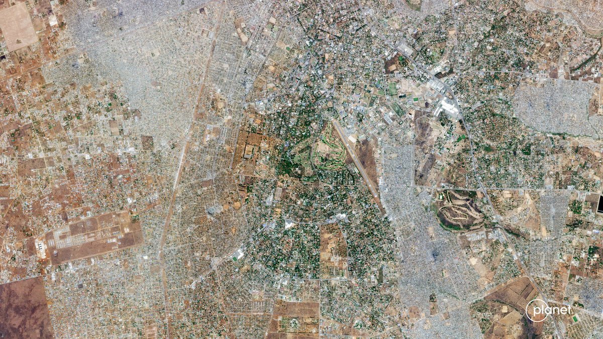
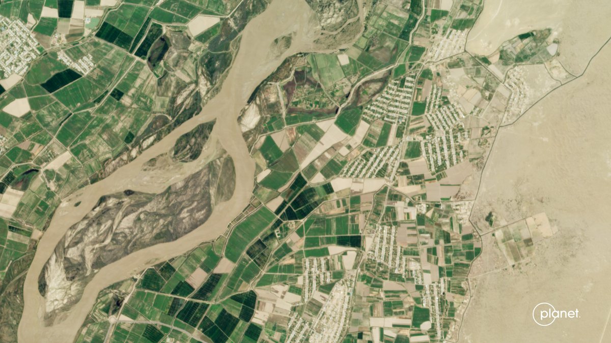
Here are just some of the images taken today August 20th:
1. Cankuzo, Burundi
2. Lebap Region, Turkmenistan
3. Lusaka Province, Zambia
4. Tanganyika Province, DRC
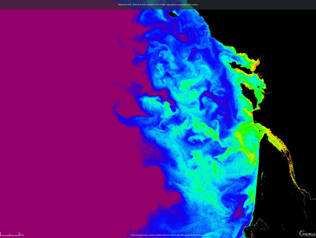
🤩 We are happy to share that the Sentinel-3 OLCI L2 data collections are now available for browsing and visualisation in the #CopernicusBrowser and are also accessible via @sentinel_hub APIs through the Copernicus Data Space Ecosystem.
Read more here ➡️ https://t.co/QnQfesmrxr
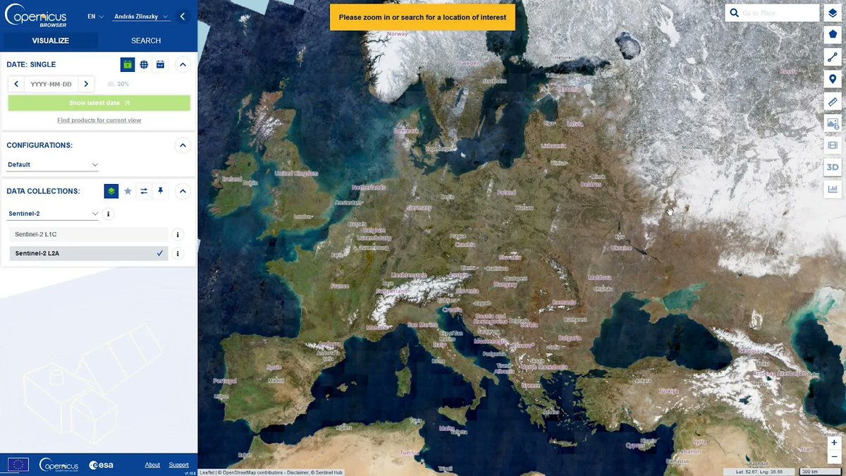
🔵 Sentinel-1 monthly mosaics were recently added to #CopernicusBrowser 🙌
☝️ Read the latest #CDSE blog post where we describe their access, use and interpretation together with the process of creating them, and plans for this dataset. 👀➡️ https://t.co/i1ms1R6wNz
Have you used #EOBrowser for education, art or to view beautiful #satellite images?
☝️ #CopernicusBrowser is open and public, and has more free quota and analysis-ready mosaics. 🌐👀🛰️
Non-commercial users, switching is super easy. Read our guide here 📄➡️ https://t.co/SuMqeFpaov
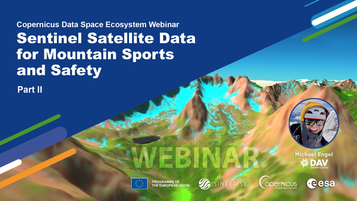
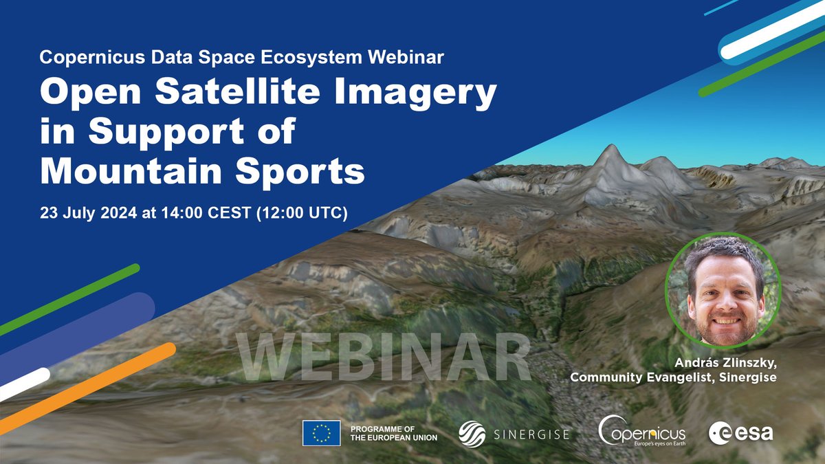
👀 Watch #CDSE#webinar 𝗢𝗽𝗲𝗻 𝗦𝗮𝘁𝗲𝗹𝗹𝗶𝘁𝗲 𝗜𝗺𝗮𝗴𝗲𝗿𝘆 𝗶𝗻 𝗦𝘂𝗽𝗽𝗼𝗿𝘁 𝗼𝗳 𝗠𝗼𝘂𝗻𝘁𝗮𝗶𝗻 𝗦𝗽𝗼𝗿𝘁𝘀 🏔️ Explore new routes, check snow conditions, follow up on disasters & even load Sentinel-2 imagery to your smartphone map viewer! ▶️ https://t.co/T0fJMomOMs
🌍✨@ESA's Network of Resources makes EO data accessible! Learn how to apply for sponsorship for your geospatial projects. Watch the video & read more on Geoawesome!
YT video: https://t.co/VqoBChIHId
Article: https://t.co/OVQftoCuCI
#EarthObservation#ESA#Geoawesome
🏔️🏃♂️🚵 Have you ever planned your #mountain trip using the latest #satellite 🛰️ images? Learn how, and why it can help you stay safe and enjoy the adventure even more. Join #CDSE's next #webinar on 🗓️ 23 July
ℹ️ https://t.co/FXiLW7xN4G
✍️ Register here ➡️ https://t.co/rQXvoRXKI0
I am presenting a webinar on Open Satellite Imagery in support of mountain sports. With this, I also want to reach people wo have never heard of EO before. Please RT, share with your #mountain loving friends, #climbing buddies, biking bro's etc! Register https://t.co/Evbj1oFvZ8
🔵 Watch the #CDSE video to learn how to access high-resolution 🛰️ #satellite imagery, visualize data coverage using the #CopernicusBrowser, and download data with the Browser and #OData.
A world of high-resolution data is waiting for you!
🎞️▶️ https://t.co/Ec03df5DPc
🤔 Curious to know how #EvoLand harnesses the power of the Copernicus Data Space Ecosystem to revolutionise data visualisation?
🚀 Dive into the details and see how leveraging existing tools creates synergies for cross-European projects!
🔗https://t.co/iCxAAWuYQ3
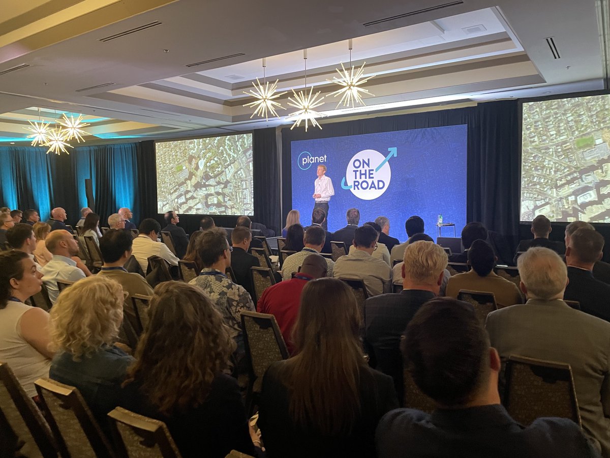
Amazing being here today at On The Road DC 🇺🇸 with so many of our government & commercial customers and partners!
The main thing I wanted to drill down today is this: Combining advances in artificial intelligence and @planet satellite data is leading to completely novel intelligence solutions.
These solutions are helping to aid the government in national security, automatically classify and identify objects like dark vessels, and help predict and prevent climate-linked disasters.
We’re really excited about all of this potential and look forward to hearing from our users today.
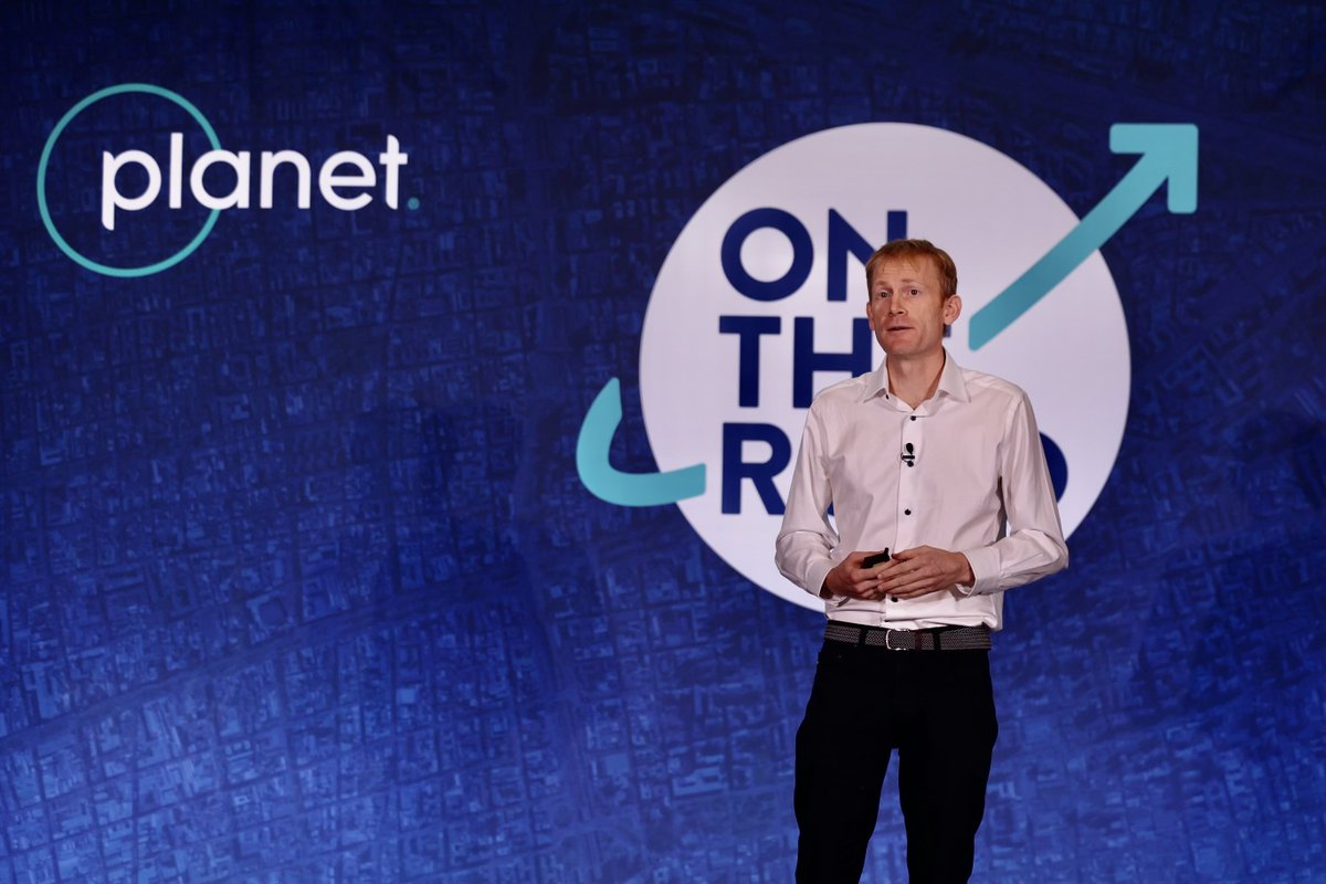
"EO has the potential to have a huge impact on the world. Yet we’ve tapped a tiny fraction of what’s possible. I estimate <1% of the benefit. We at Planet believe that tapping that value will take an ecosystem."
@Will4Planet's keynote at Planet On The Road DC 🇺🇸
#OTR2024
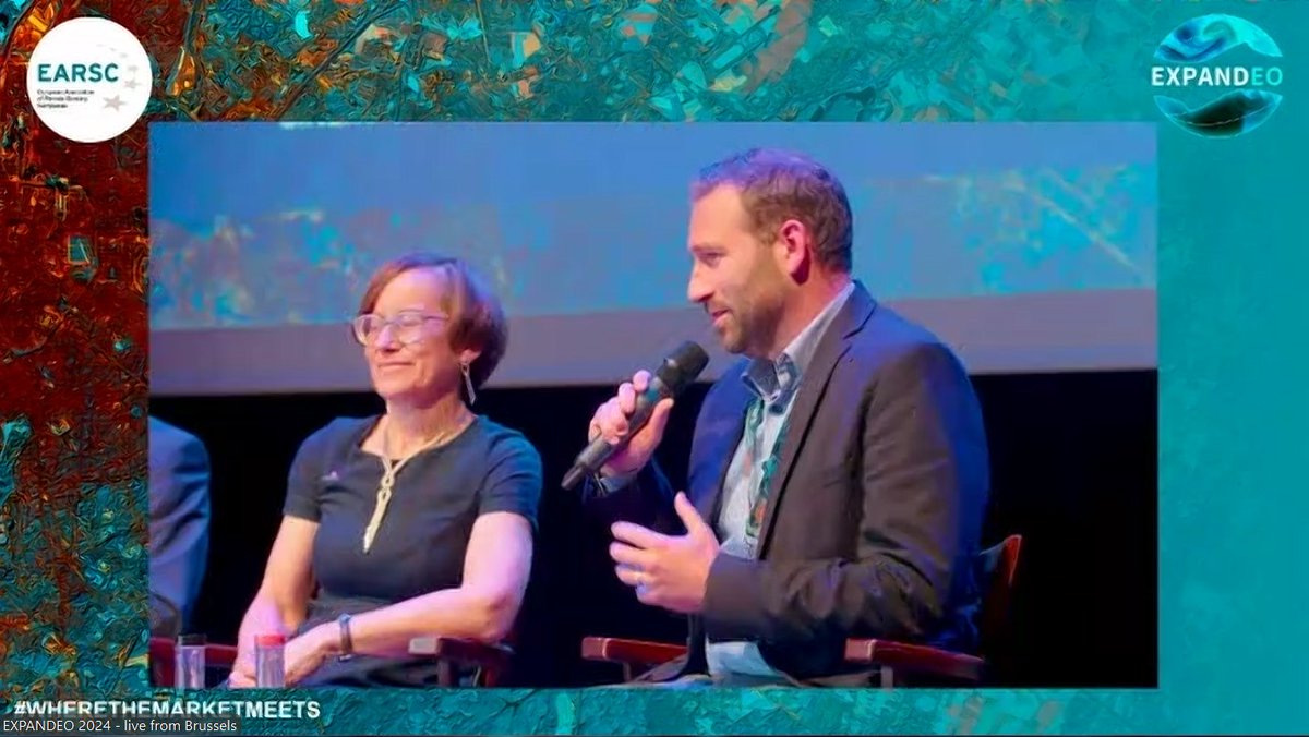
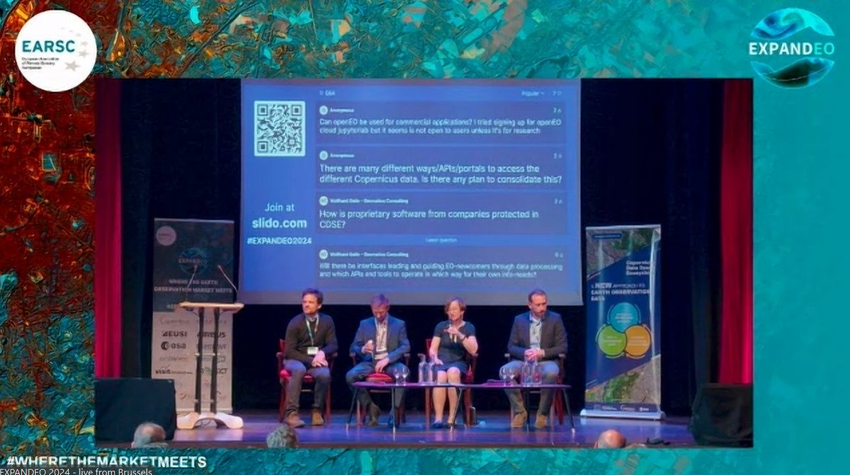
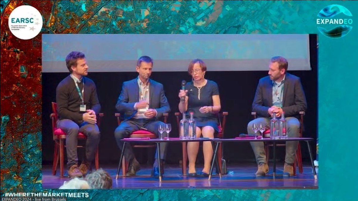
We’re back live discussing the opportunities and challenges for the uptake of Copernicus. Discussing access to EO data, scalability, and commercialization with @CloudFerro, @sinergise, @VITObelgium and @tsystemscom🛰️
🔴 LIVE from #EXPANDEO2024@azlinszky, Uwe Marquard, Monika Kryzanowska &
@dennisclarijs explaining how #CDSE supports the uptake of #Copernicus satellite data
🔹 what is available
🔹 cases already using #CDSE
🔹 how can you join the ecosystem
More at https://t.co/9HYGRFRkfI