Our new Spectral Band Comparison tool is here! 📊
Dynamically compare spectral bands from different Earth-observing instruments across the electromagnetic spectrum, then easily output and share your custom graphic.
https://t.co/CQP0MjtpTi
A new paper out that takes a look at sustainability within New Zealand's aerospace sector!
[A tiny contribution from me, all credit to the amazing team led by @drpriaero ].
https://t.co/8lx2bzkrAI
🏴 Hello Shetland Islands!
☹️ You were too rainy and windy to fly our drones
30 mph winds and sideways rain
But silver lining, thank you to the locals who embraced us into the pub to hide from the rain
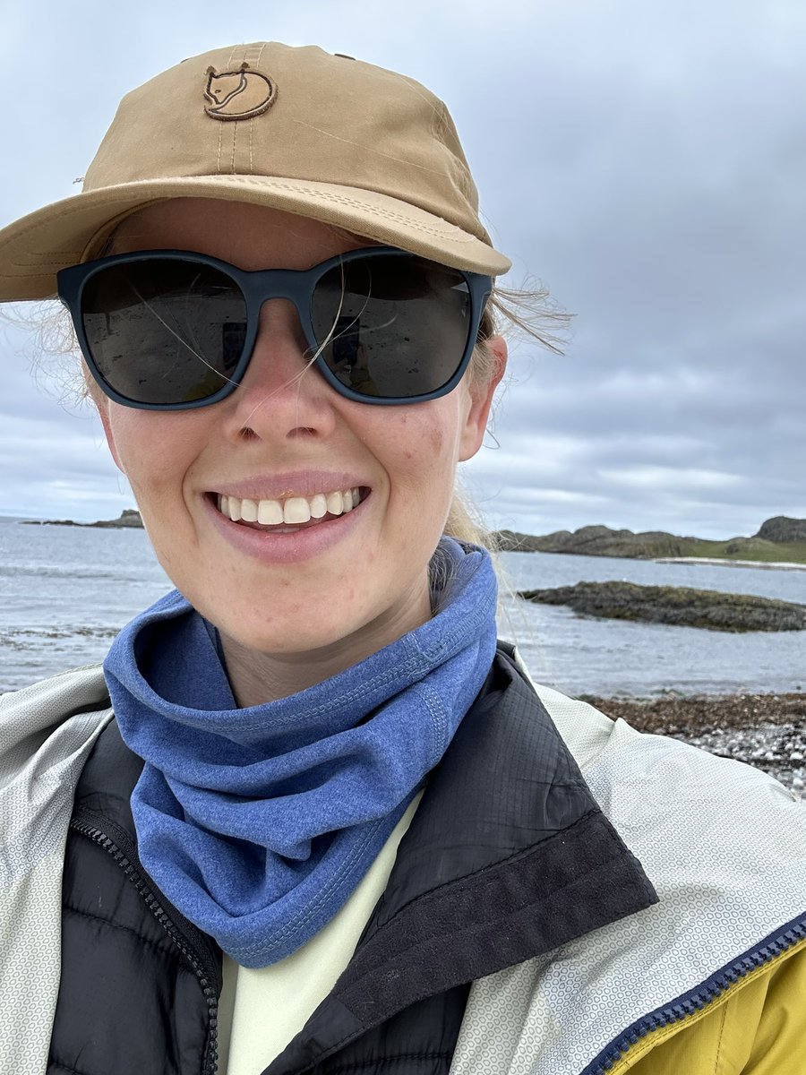
🏴 Our first stop in Scotland is Iona
Iona is a tiny island off the southwest coast of Mull in the Inner Hebrides and full of wildlife
I learnt here that sheep eat seaweed?!
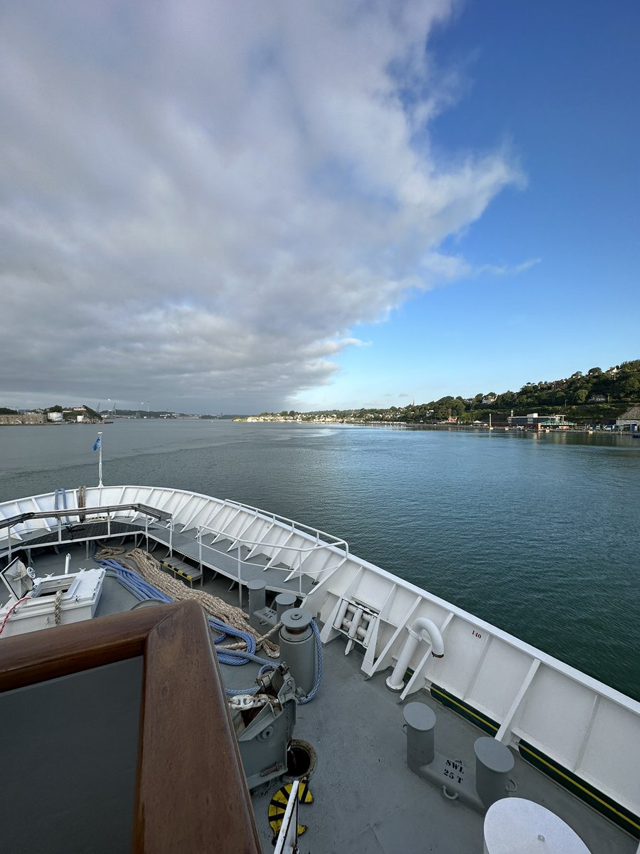
🇮🇪 The weather lifted and sun shone on us for our fieldwork stop in Cork!
We are testing how common litter items look under different conditions with the drone
Importantly, finishing off the day with our first Beamish!
Heading back to sea and analysing data with ocean views
Satellites have a unique ability to observe geopolitical conflicts & provide evidence of what is actually happening in the midst of unreliable political claims 🛰️
Thread of recent examples from the ongoing Israel-Palestine conflict 🧵[1/n]
PhD project alert! If you’re keen to apply your budding pattern recognition and data processing skills to a marine puzzle, this might be the perfect project for you:
https://t.co/5AVPj934Xh
The updated #LandsatNext specs are wild!🤯
🌈 26 total spectral bands, including #Landsat 8/9 and #Sentinel2 compatible bands
🌳10 brand new application-specific bands
🔥 5 thermal IR bands!
📏10-60 m resolution (including 10 m SWIR!)
⏱️6 day revisit
https://t.co/kDwM8xh2oq
The updated #LandsatNext specs are wild!🤯
🌈 26 total spectral bands, including #Landsat 8/9 and #Sentinel2 compatible bands
🌳10 brand new application-specific bands
🔥 5 thermal IR bands!
📏10-60 m resolution (including 10 m SWIR!)
⏱️6 day revisit
https://t.co/kDwM8xh2oq
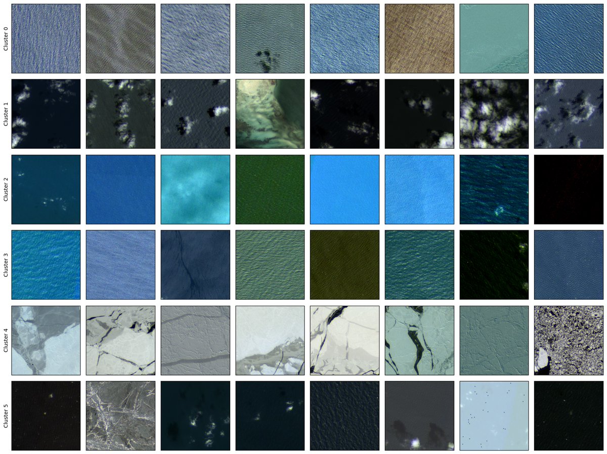
Introducing Hydro -- A Foundation Model for Water in Satellite Imagery.
There are many foundation models for remote sensing but nearly all of them focus on imagery of land. The earth is made of ~71% water. ML 4 Water needs some more love and attention.
🔥 The latest episode of the Thermal Lens is out! 🔥
In this episode, @mlangsdale1 chats to us about directionality in Land Surface Temperature (LST) and the joint ESA-NASA campaign she helped run in 2023 to understand directionality better!
https://t.co/qoZYNZ6I3W
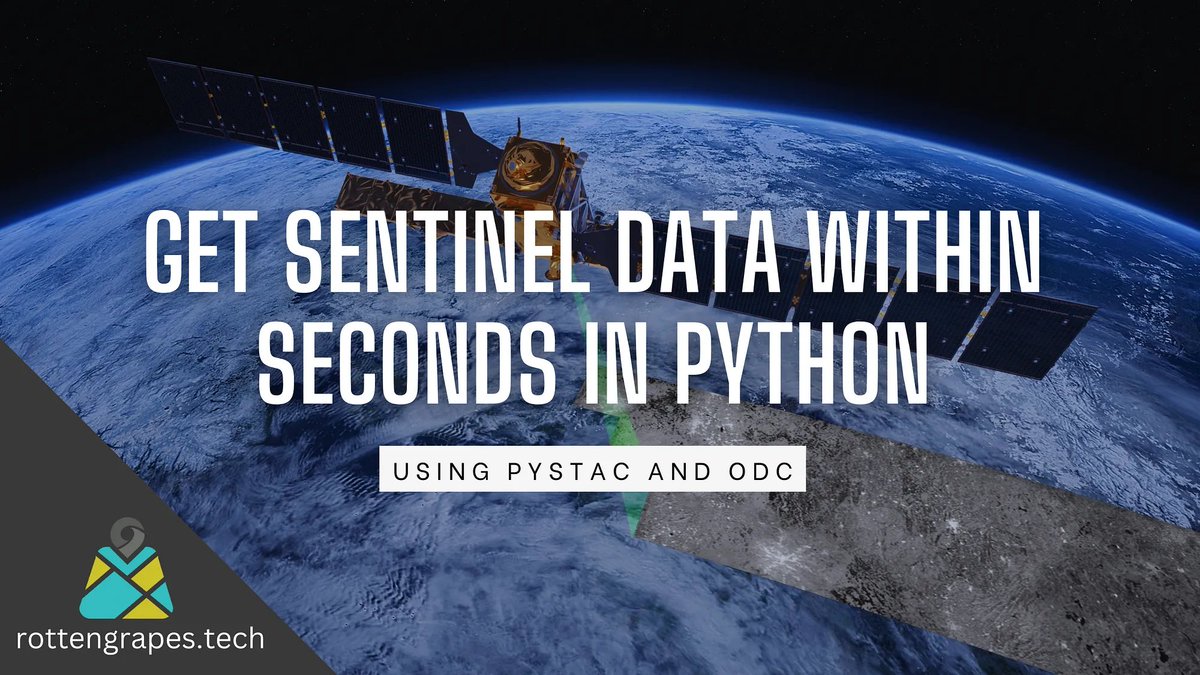
#TutorialTuesday: Learn how to access satellite data in seconds! This guide by @krishnaglodha shows you how with Python using pystac and ODC.
https://t.co/wpktk2rjSH
Helping a student detect central-pivot irrigation farms from a Landsat NDVI image. This was done in just 1 minute using the Segment Geospatial #Python package in Colab https://t.co/HlgaKeYmW3. Check the tutorials by @giswqs at https://t.co/CyVAGBzzw9
Occasionally I see a paper that feels like some kind of forbidden dark magic...🧙
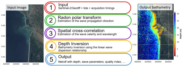
Almar et al. 2024 used tiny time delays between #Sentinel2's spectral bands to model ocean waves... then used those waves to predict water depth/bathymetry!🛰️🌊🤯
https://t.co/aGBv6FHqTb
What happens when a historic year of rainfall dumps a bunch of freshwater into the ocean next to a western boundary current?
In @NatureComms today, @moninya, @mphemming, Tim Ingleton and I look at the impact of the 2022 East Australian floods on the ocean
https://t.co/rxQxJtdLwR