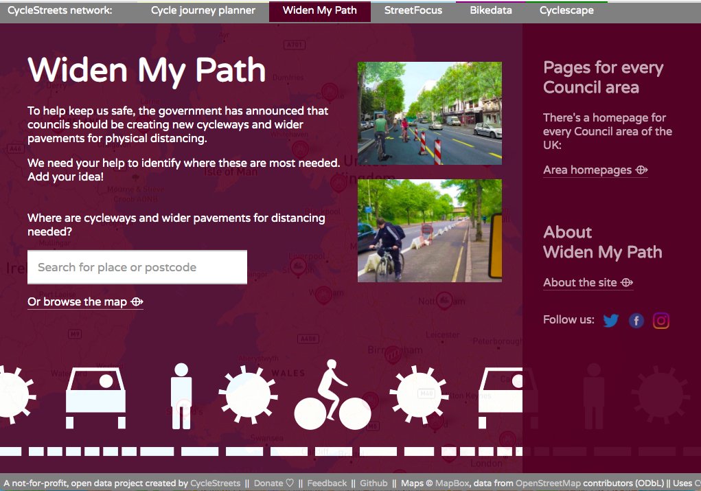
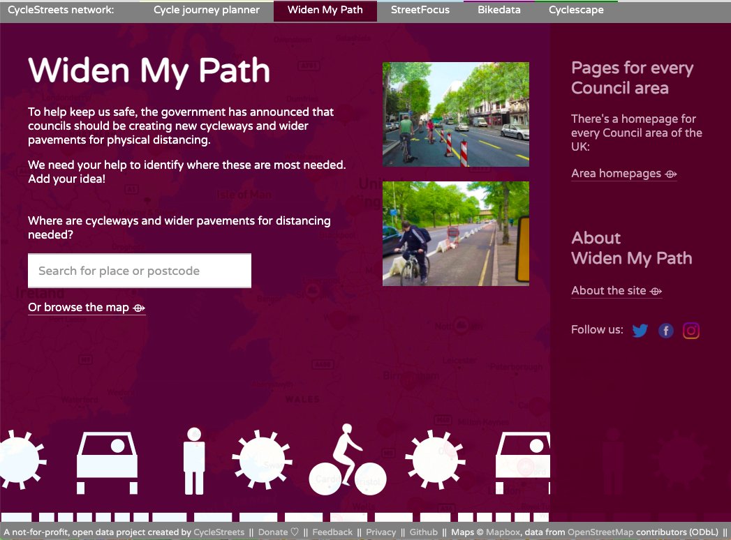
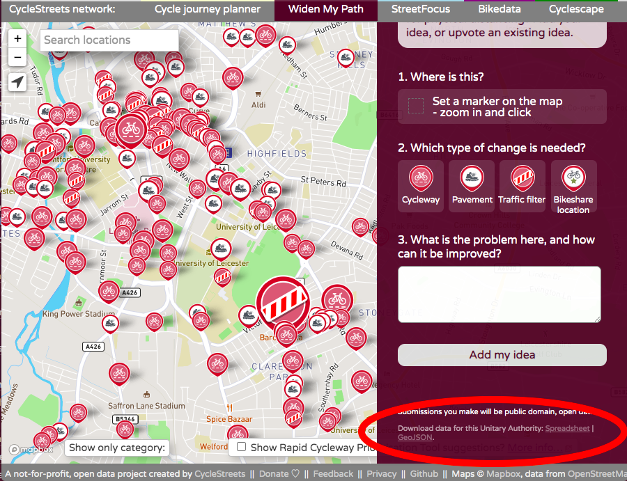
Where should the Council make more space for walking & cycling, for physical distancing? Add your idea, or upvote an existing idea. Created by @cyclestreets.
@ACarpenDigital @allpartycycling @WeAreCyclingUK@livingstreets@MaryCreagh_ Yes, both Cycling UK and Living Streets integrated our site with their campaigns last summer. We've kept the site open, as the data can be used for any purpose in the future.
Thank you enormously to @Mapbox, who have generously waived the map tile hosting fees for @widenmypath.
Where are new cycleways and wider pavements for physical distancing are needed?
Read more at: https://t.co/dgAO0ejiSJ
@BicycleBenUK @don_dapper @Warwickshire_CC Yes, the data on WidenMyPath is open data - click on the spreadsheet link in the bottom-right.
https://t.co/visQJhz2Vu
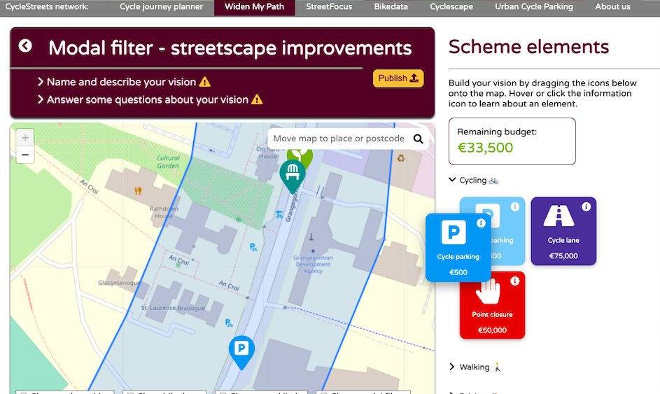
Streetvisions includes a vision builder - where you can drag lots of different scheme elements on to the map, possibly within a budget. Anyone can make a vision, iterate it, and they can be upvoted to show the most popular visions for an area,
We're busy work on a Phase 2 of Widen My Path - aimed at enabling communities in favour of schemes now built to co-design potential improvements and iterations to them, to help build and increase support. Watch this space!
We're busy work on a Phase 2 of Widen My Path - aimed at enabling communities in favour of schemes now built to co-design potential improvements and iterations to them, to help build and increase support. Watch this space!
@_LadyRaven_ @matthgilbert1 We've been posting on the main DfT Basecamp site that large numbers of local authorities are subscribed to. We've also a press release ready to go out soon, and campaigners have been drawing it to councils' attention.
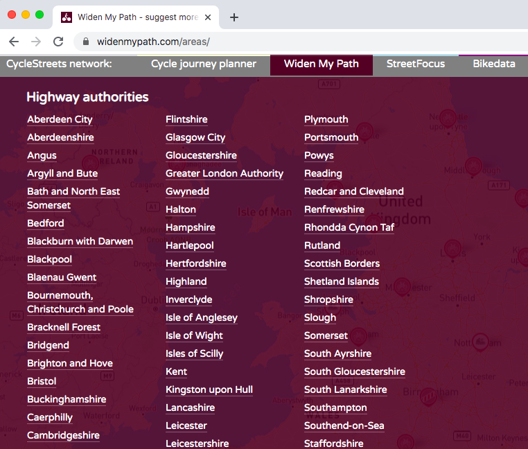
Each highway authority can now download Widen My Path submissions for their area, using official OS boundaries, supporting Emergency Active Travel Fund Tranche2 bids:
https://t.co/PQJRiHUmxJ
Download links are under the submission form.
Open data, available to all, at any time.
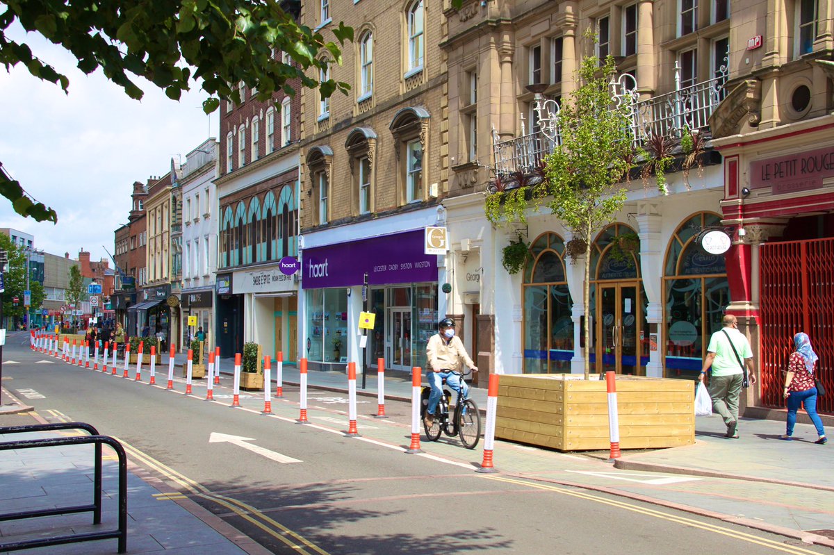
Whenever govt. lifts local lockdown, social distancing will be vital, so we’ve been busy creating safe, sustainable & socially equitable shopping areas. We’re now busy trying to make them look a bit nicer. Visit
https://t.co/jlRTHm7hBO to suggest where needs similar treatment.
Each highway authority can now download Widen My Path submissions for their area, using official OS boundaries, supporting Emergency Active Travel Fund Tranche2 bids:
https://t.co/PQJRiHUmxJ
Download links are under the submission form.
Open data, available to all, at any time.
You can also still download the data for any map area - but these new highway authority links limit the data to the official boundary, helping officers see only data within their remit.
https://t.co/ZuEiL4ChaY
@mattdawhit Pleased to say this is now working fine:
https://t.co/CnvsDD0EJT
(Have corrected a minor problem which caused the boundary matching to be invalid in this case.)
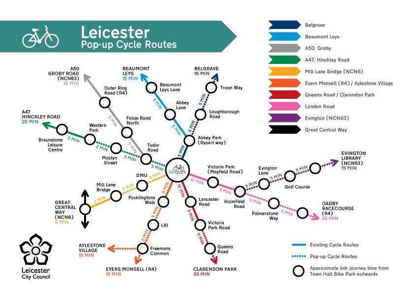
We said we’d do 10 miles of pop-up cycling & walking in ten weeks.
We’ve done *11*. Covid safe, low carbon & health giving. Here’s our hot-off-the-press ‘tube map’ of routes. We’re now moving into the next stage: #watchthisspace. Get your ideas on https://t.co/jlRTHm7hBO
We've received over 1000 ideas on social distancing improvements for people walking and cycling in Bournemouth, Christchurch and Poole🚶🏿♂️🚲
Do you have an idea you'd like to share with us? Let us know here👉🏼https://t.co/GV9jLpZ55y