Patchy fog will continue across the area early this morning. The fog could be locally dense, with visibility a quarter of a mile or less in some areas. Use caution if traveling.
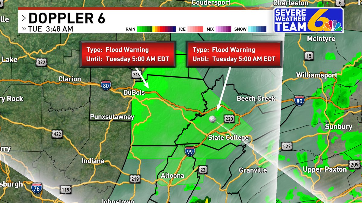
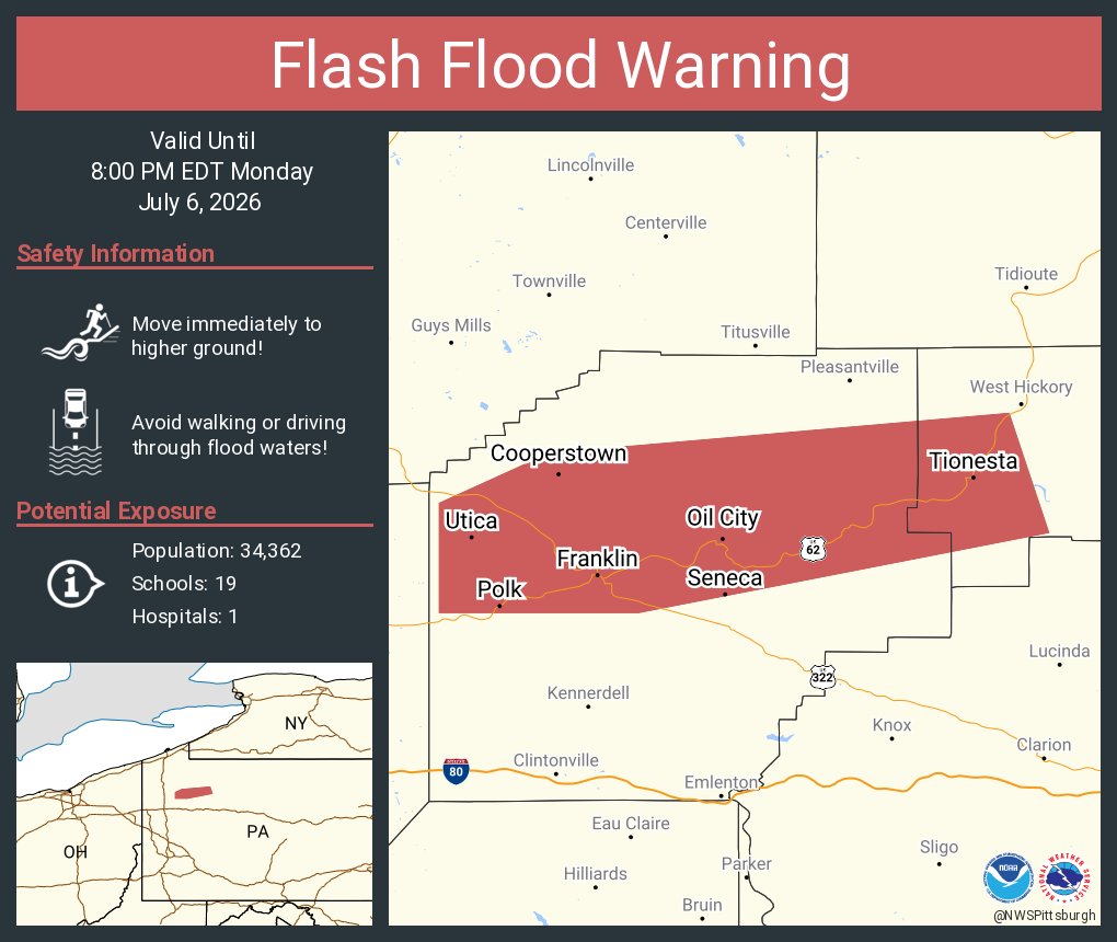
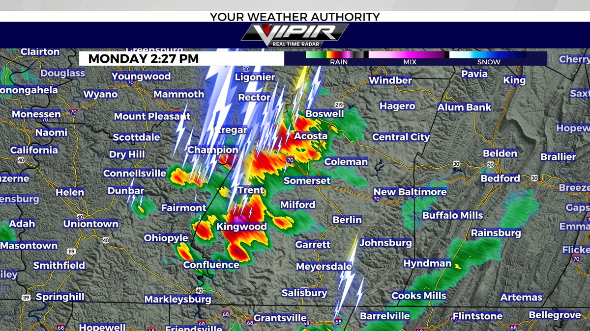
Showers and thunderstorms will develop late this morning and into the afternoon. Flash flooding will be a concern once again as storms will be capable of producing very heavy rainfall. #PAwx
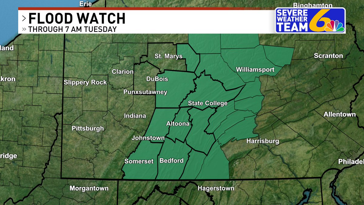
Flood Watches & Warnings remain in effect this morning for the areas highlighted below. Be alert for ponding on roadways during the AM commute! Scattered showers & storms remain in the forecast today. Join us on 6 News at Sunrise for all the details https://t.co/pTICvbQ7z2
An NWS survey team confirmed a brief EF-1 tornado occurred in Canfield Township on 7/5/26 with max wind speeds of 95 mph. The survey also determined a macroburst with max wind speeds of 90 mph occurred across central Mahoning County. #ohwx
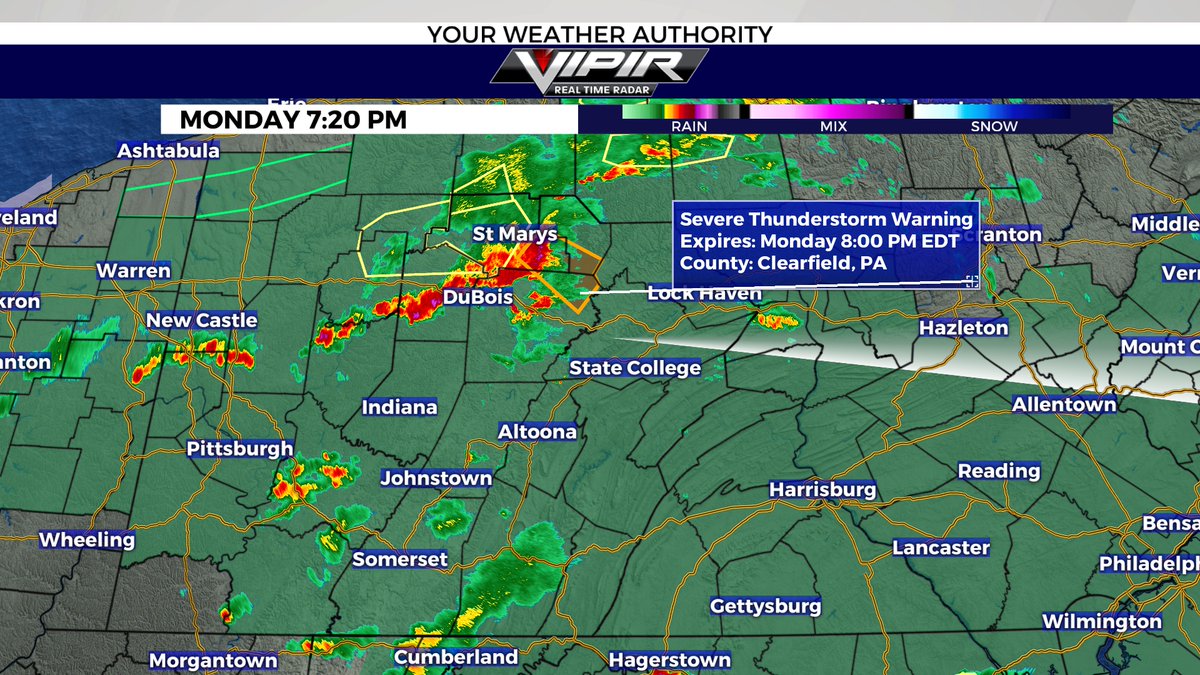
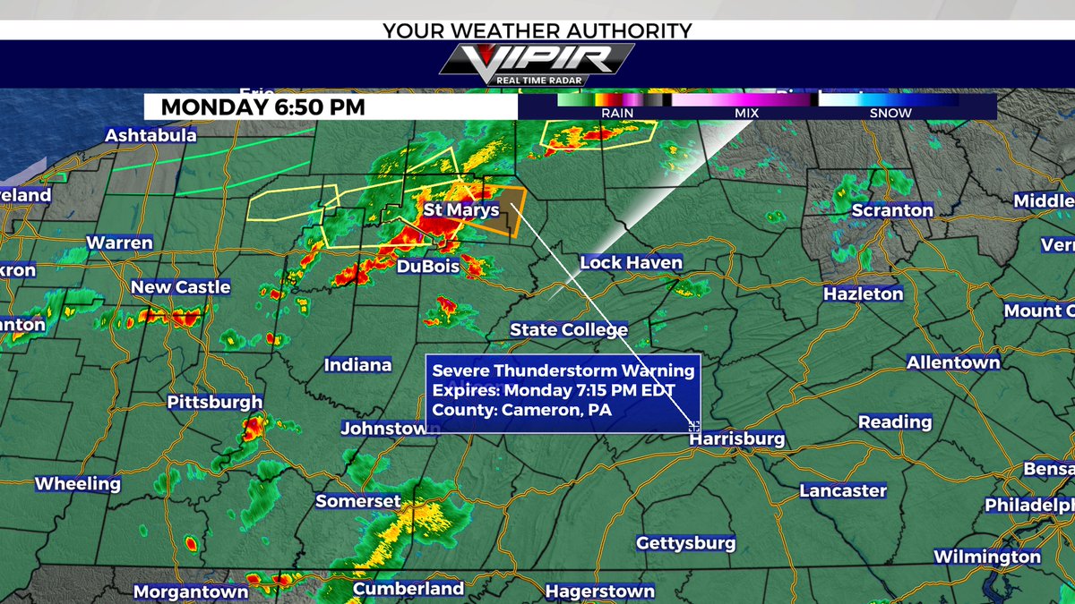
Along with flooding potential, thunderstorms this afternoon and evening will have a non-zero threat for producing damaging wind, though most gusts should be between 30 to 45 mph. The favored area for these damaging winds is mainly south of I-80 within the Pennsylvania counties.
Very heavy rainfall of 3-6 inches has fallen across portions of eastern Lucas and Ottawa Counties this morning. Flooding is ongoing in Port Clinton and the area should be avoided. Rain will continue to spread east to Erie County through 2 PM and towards Cleveland this afternoon.
📣 Customers who are without power due to recent severe storms can continue to pick up free water at several local stores while supplies last. Find locations here: https://t.co/OEhIJh9FqR
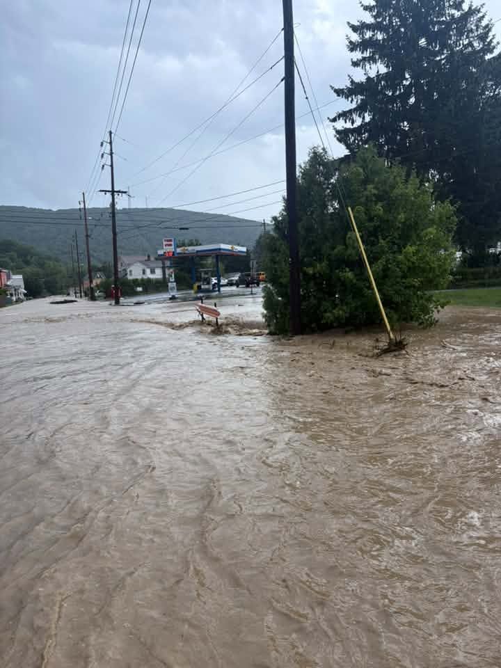
Tyone, Pennsylvania, must have been the epicenter of the flash flooding Sunday afternoon based on all of the photos and videos. Here is another photo of a flooded-out street. REMEMBER: Do not walk/drive through flooded waters. You never know how deep the water is! Thank you for sharing, Allison Wilinski. #PAwx #Pennsylvania #FlashFlood