Helping secure and sustain proven digital infrastructure and cutting-edge technology to stop nature loss and build resilient ecosystems and communities.
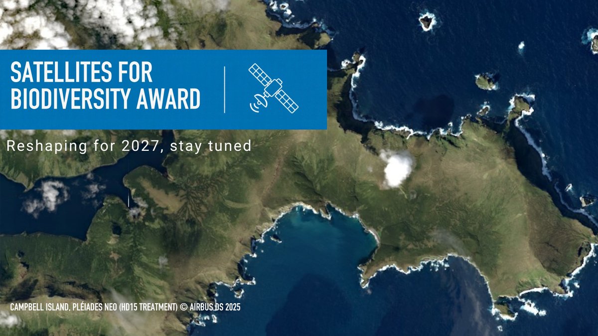
🛰️ Waiting for the next Satellites for Biodiversity Award?
With @AirbusFdn, we're reshaping our grant scheme for 2027—embracing advances in geospatial tech and stronger participation by Indigenous Peoples and local communities
More in spring! https://t.co/KdDY8etrGG
What did CCF bring to #COP17? 🌍
🌍 Digital readiness with @UNDP
📡 Connectivity for remote conservation areas
🤝 Local technical skills that last
🛰️ Satellite monitoring with @AirbusFdn
https://t.co/yTApZ8sn2I
🌍 From biodiversity ambition to action! Meet CCF at #COP17Armenia.
Discover how digital technology & local expertise can accelerate biodiversity action.
📍 Technology & Innovation Expo | Booth 37
🤝 Attending? Let's connect!
https://t.co/bBwjhhWaee
Once the 4th-largest inland lake, the Aral Sea has almost disappeared, leaving behind the Aralkum Desert.
With @AirbusFdn, we’re supporting @UNSDSN & Nirvana Carbon Fdn with VHR imagery to monitor and scale restoration across Uzbekistan & Kazakhstan.
https://t.co/DyZTSNWIeX
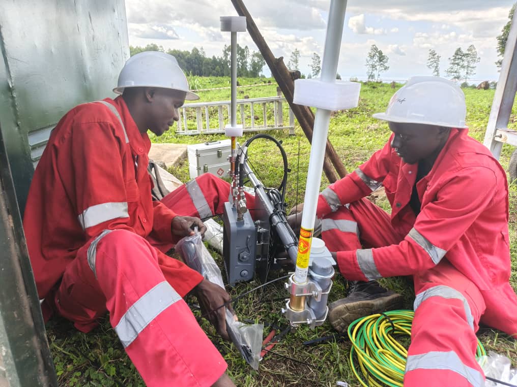
Through our Protected Area Training Programme, supported by @Cisco & @NetacadBaku, local teams are changing life trajectories and supporting the systems protecting their wildlife.
Meet some of them here ⬇️
@Cisco@CiscoNetAcad Thank you, @Cisco & @CiscoNetAcad, for investing in the people behind connected conservation. Together with our conservation partners, we’re helping local technicians build practical skills, open new career paths and keep vital wildlife protection systems running.
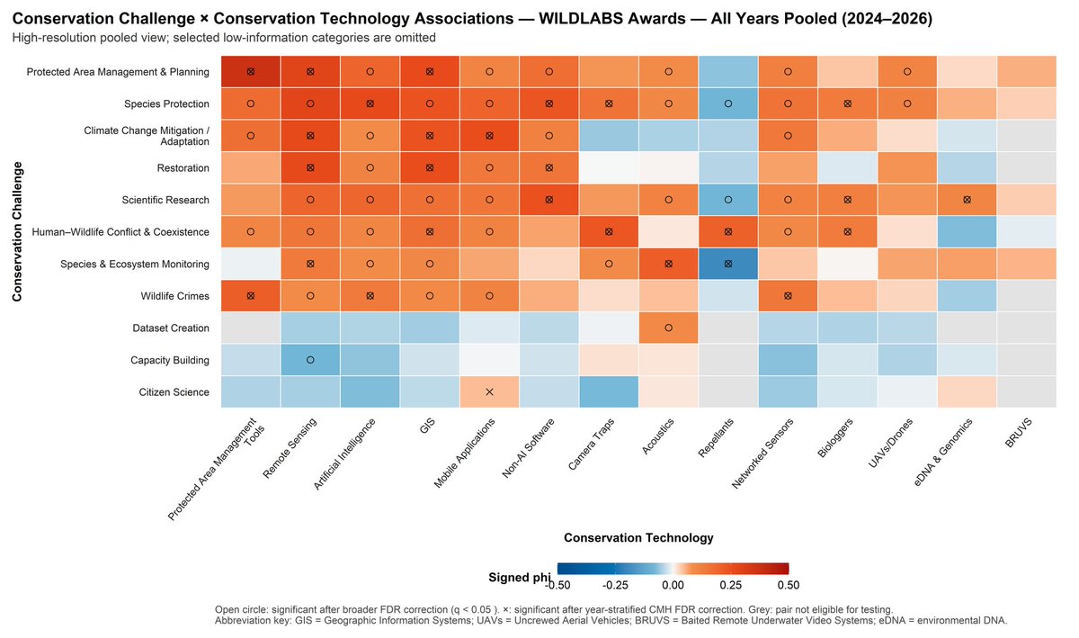
What can 2,000+ grant applications tell us about conservation tech? 📊
New analysis of WILDLABS Awards data shows where applicants are seeking support, spanning what's being developed, where, and for which conservation challenges.
👉 https://t.co/U55ZM32Slm
#tech4wildlife
From 30 cm satellite imagery to real-world conservation action 🛰️
Hear how our partnership with the @AirbusFdn is helping protect Andean bears in Peru and desert elephants in Namibia on the latest Impact Equation podcast.
🎧https://t.co/0GHDV2Lhhi
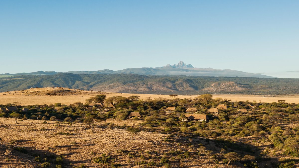
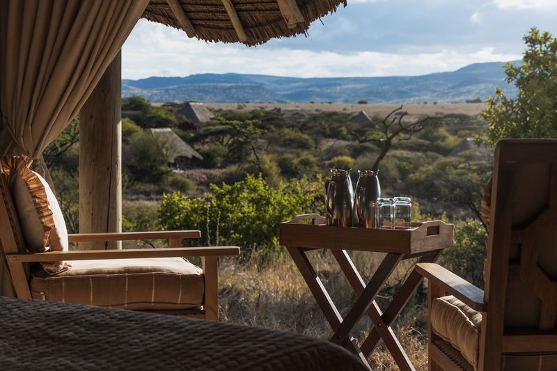
Happy #WorldTourismDay! Today, we celebrate the innovation helping wildlife, landscapes and tourism thrive.
From AI-powered wildlife monitoring to smart conservation tools, technology is helping us better protect Lewa’s landscape and the wildlife that makes it a destination.
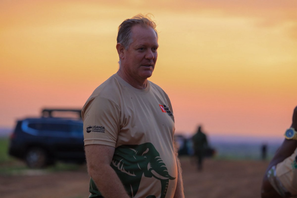
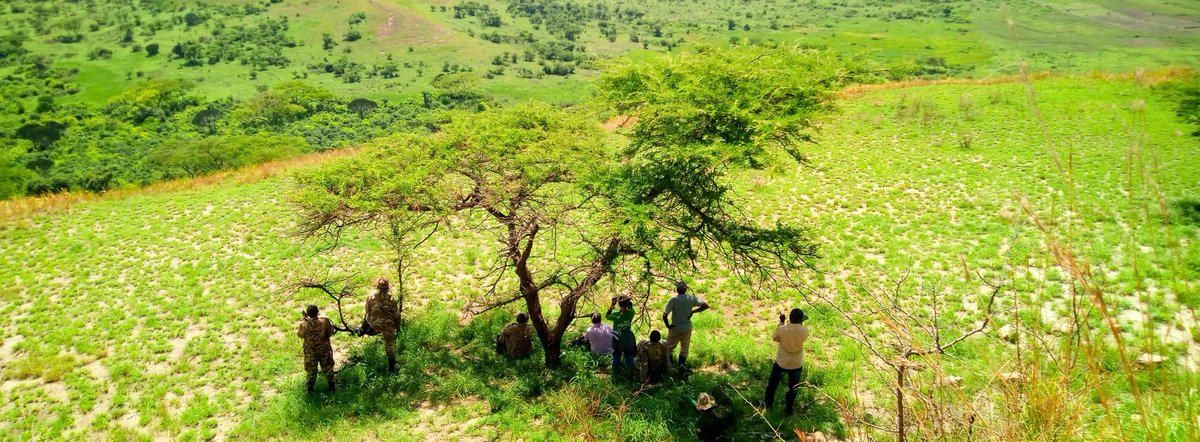
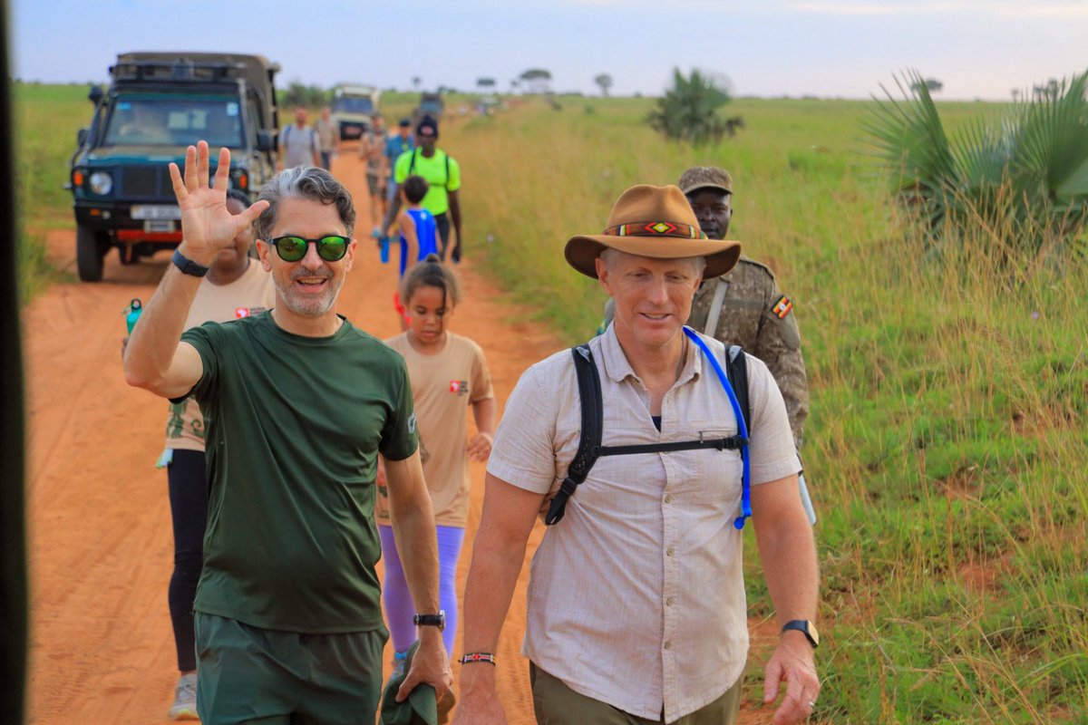
For more than 25 years, the Uganda Conservation Foundation (UCF) has worked alongside UWA to strengthen conservation efforts, supporting rangers with essential supplies, equipment and operational resources across protected areas including Murchison Falls, Queen Elizabeth and Kidepo Valley.
Protecting wildlife goes beyond safeguarding the animals and landscapes. It also means investing in the people who stand on the frontline every day. Strong ranger support is a foundation for thriving wildlife, healthy protected areas and a resilient tourism sector.
#WildlifeRangerChallenge2026
📸@trevorlutalo
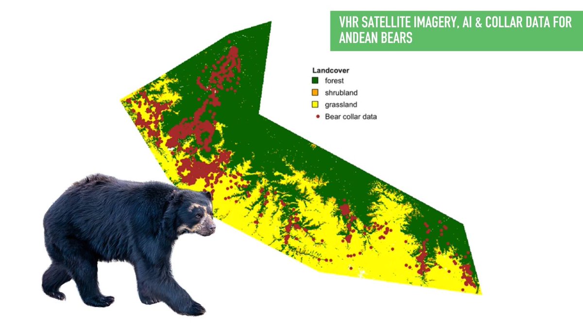
🐻 Where do elusive Andean bears roam, and why?
With support from CCF’s geospatial analysis + @AirbusFdn 30cm Pléiades Neo imagery + thousands of GPS locations, @amazonacca is revealing how bears use Peru’s Manu Biosphere Reserve, turning data into insight
https://t.co/O5Bo6ibUxj
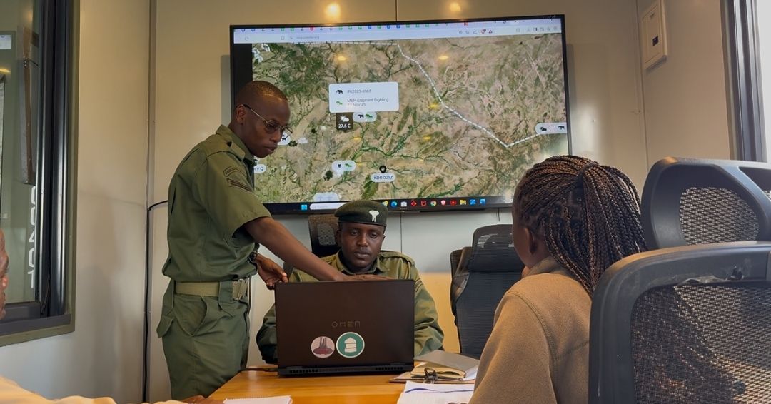
The collection, storage and analysis of conservation data evolved at Mara Elephant Project over the past 15 years, but no milestone holds quite as much impact as the launch of EarthRanger.
When we started, patrol logs were handwritten and information was collected and cataloged in hardcover logs stored at headquarters. Not too surprising, extracting the necessary information was extremely time consuming and left room for error.
To solve this, MEP deployed mobile applications, which allowed our rangers to submit their reports daily while on patrol. We also started storing our GPS tracking data in a state-of-the-art cloud database system that at the time was being jointly developed by Save the Elephants (@STE_kenya) and Vulcan Inc. called the Domain Awareness System.
It helped track collared elephants, ranger movements, the helicopter and generated quarterly outputs, which were included in our monthly reports.
This early system officially became EarthRanger, a product of @Allen_Ai, at MEP in 2019.
Now, @EarthRangerTech is leveraged to visualize assets in real time and direct lifesaving resources.
As we look toward the next 15 years, that work must continue.
We need your help to protect elephants in the Mau Forest, where illegal logging and bushmeat poaching threaten their habitat. With your support, we can put more boots on the ground to protect them.
But it’s only possible if we can raise $150,000 over the next 15 days.
From now through MEP’s 15th Anniversary on September 12, all donations are doubled.
Help us keep protecting one of the Mara’s most vital landscapes.
Donate now: https://t.co/ufICAXGYxh
Conservation technology is advancing fast, and skilled people are needed to keep it running.
Hear from Mabel, Duncan & Effort Zivengwa about their experiences at our PAT training, featured in @guardian
https://t.co/JeCOk24p2n
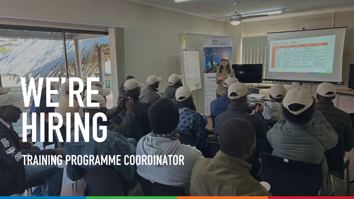
📣 New job: Programme Coordinator, South Africa
Help train, support and empower the next generation of Protected Area Technicians!
From supporting online learners to coordinating practical field training, help CCF grow conservation capacity
Apply: https://t.co/B6vAJdWCP6
“As poachers get more sophisticated in their use of technology, we must always be a step ahead,” says John Pameri, Head of General Security at Lewa.
Read more on how Lewa uses #ConservationTech in our 2025 Annual Report.
https://t.co/SPx02FK7H0
#TechForWildlife
93% of Nepal’s greater one-horned rhinos live in Chitwan–Parsa, where invasive plants threaten grasslands. #SatellitesForBiodiversity grantee @OfficialZSL used 30cm @AirbusFdn imagery + AI + ground data to map Mikania, helping inform grassland management
https://t.co/KDDkeRegP3
The recent sighting of a sitatunga antelope during an aerial survey flight over Boma National Park, South Sudan, marked the first time this species had been recorded in the area since the Government of South Sudan and African Parks signed a partnership agreement in 2022. That’s just one of the findings gained from conservation flights, including more accurate population numbers for specific species, and a deeper understanding of how animals interact with their habitats.
Unusual sightings are only a small part of the rationale behind these flights. Their true value lies in the data provided – data that can be used to make better informed management decisions at landscape level, and at a more granular scale.
Conservation flights are giving researchers new perspectives on Boma National Park, and providing data-driven insights into species’ movements and resource needs.
#BomaNationalPark #SouthSudan #GreatNileMigrationLandscape #BiodiversityConservation #AfricanParks
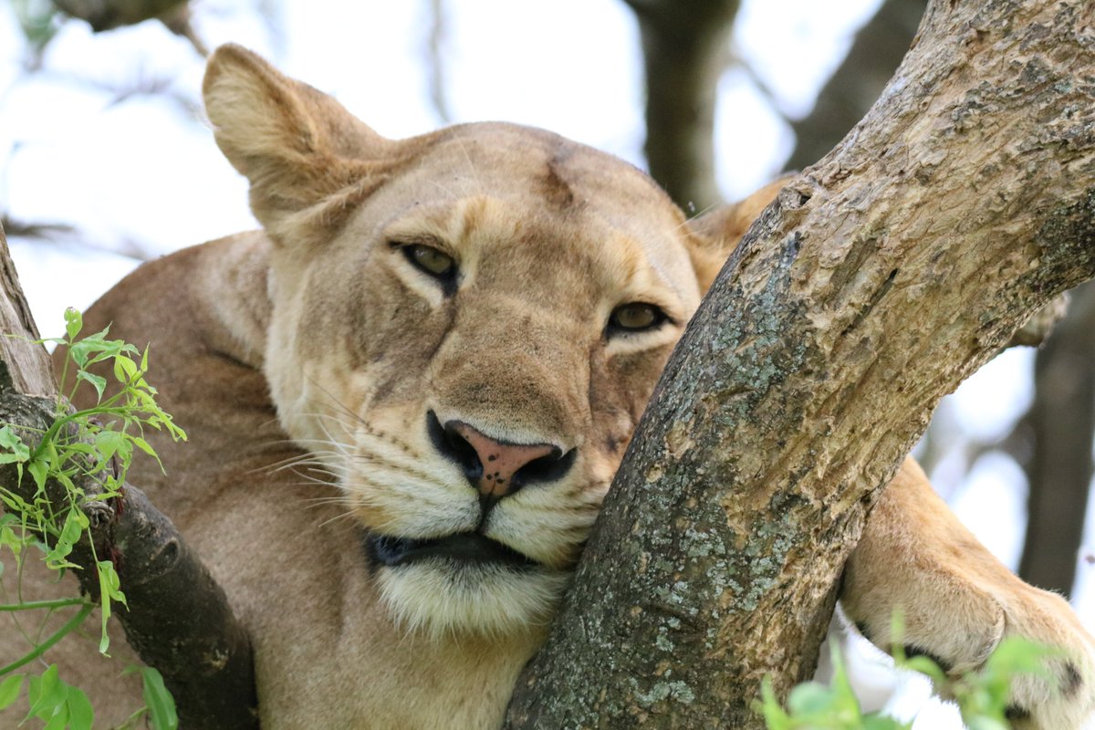
🦁We're Proud to support @UgandaCF, helping protect Uganda’s iconic tree-climbing lions using #LoRaWAN tech. With support from @Cisco, @Actility, CCF & Off-Grid, real-time monitoring and early warning systems are helping reduce human-lion conflict
https://t.co/wUy7mBSUaU
There are currently 23 elephant fitted with satellite tracking collars in Zambia’s Kafue National Park, and their collars have already generated 75,825 location fixes or data points in 2026. Over 39,000 km of elephant movement have been recorded this year alone, helping researchers and conservationists to build up a more detailed picture of how elephant traverse the Greater Kafue Landscape and the corridors they rely on. As we mark World Elephant Day, you can read the full story in our latest blog: https://t.co/bPgU5udP9Z
#KafueNationalPark #Zambia #KAZA #TransfrontierConservationArea #Elephant #WorldElephantDay #BiodiversityConservation #Wildlifetracking #SatelliteMapping #AfricanParks