We are looking forward to attending the EO Summit in London on 22 June, the "go to" annual event organised by TerraWatch Space, bringing together users from across earth observation to explore the latest applications and industry trends. 🛰️
We'd love to connect with you there!
All change at Geocento!
Following our funding round last year we have now completed our transition from the “sell” side of the earth observation market to the “buy” side, providing key clients with flexible procurement of earth observation. Visit https://t.co/bU4nX1zGRq now!
Geocento recently completed a seed funding round, on the back of some successful messaging to new clients as well as investors. We are following up with a summary of the challenge that we are addressing with our newfound resources. Read more https://t.co/U9m3MjJEWs
Geocento is growing! In response to successful business development, we are looking for a Lead Geospatial Consultant to help shape the future of the company and develop key client relationships. Please head to https://t.co/7PWBdRYERt to find out more!
We are hiring! We are looking for a Senior Software Developer to help with some exciting new business wins for Geocento. Please check out the description https://t.co/wsTkSDxU8c and feel free to share - we would be very grateful!
🔴 We've joined forces with @Geocento 💪🎉 to provide @sentinel_hub users with seamless and flexible access to #EarthImages' extensive range of commercial 🛰️ imagery, bringing together two very popular imaging platforms. 🙌
Learn more about it here ➡️ https://t.co/PAikuI3BAw
Geocento are delighted to have teamed up with @sinergise to offer Sentinelhub users access to a greatly increased range of commercial satellite imagery data sources! Find out more below.
https://t.co/oOAtQaCGNM
#partnerships#satelliteimagery#satellite#sentinelhub
Beijing-3B satellite has captured first images on August 31 just a week after its launch from the Taiyuan Satellite Launch Center!
Using the new generation of its agile technology, the satellite can quickly obtain high-quality images at 30cm resolution.: https://t.co/F3VlPunlqO
Earth Observation tends to go in waves as a new development rolls out across the market. Read this insightful article written by our CEO Kim Partington discussing the latest development in GEO industry and the rise of hyperspectral imaging!
https://t.co/aU0TutIaOQ
30-cm resolution imagery from the new Jilin satellite JL-1GF04A is now commercially available! It captures imagery at 30-cm panchromatic and 1.2-meter multispectral resolution with a 15-km swath!
Find out more about the satellite & its capabilities here https://t.co/DczpsseML1.
Sustainable land management is a core element of protecting the environment, natural habitats, and communities. Our valued customer Hawai'i Land Trust take a uniquely Hawaiian and holistic approach to land conservation & we are delighted to support them. https://t.co/2bRZkkNfqr
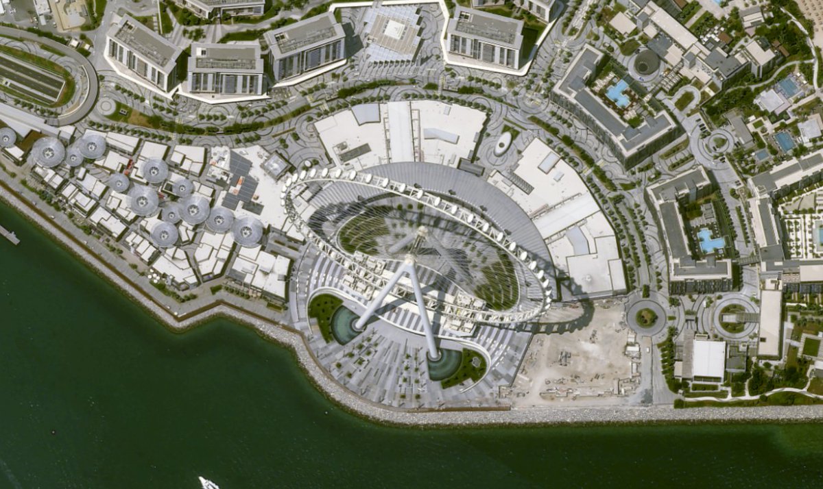
You can now explore Landsat-9 imagery via our EarthImages platform! More than 57,000 Earth surface images were collected by Landsat-9 since October 2021. Take a moment to enjoy nice views from Landsat-9. Find for yourself on EarthImages: https://t.co/7jtZMxqKdr
Did you know that we circulate a newsletter each month to provide you with exciting developments to our platform, keep you updated with industry news and explain how our services can help with your imagery needs? Here is our first newsletter of 2022. https://t.co/Di9UldgRow
It's a new year, a Lunar New Year and a new partnership for Geocento! We are pleased to announce that we have signed an agreement with @PixxelSpace to provide cost-effective access to high-resolution hyperspectral images. Find out more now! https://t.co/kVV2QUi3cJ
WE ARE HIRING! We are looking for a junior specialist to join our team in the UK as an Operations Assistant to help us coordinate our large and growing image supplier network. Please check the requirements, apply, or get in touch!
https://t.co/ahwzwsxQUi
Interesting perspective of the high-resolution Earth observation market from @Geocento, a satellite imagery marketplace & platform - including some responses to my thesis around "verticalization" and "the iPhone moment for EO!"
https://t.co/z3s7jf4COc
While the World has been slowly returning to business normality after the COVID-19 pandemic, we have been assessing the health of the satellite imaging market. Read the article (https://t.co/sClzBxMgWP) by Geocento’s CEO Kim Partington to find out his diagnosis & recommendations!