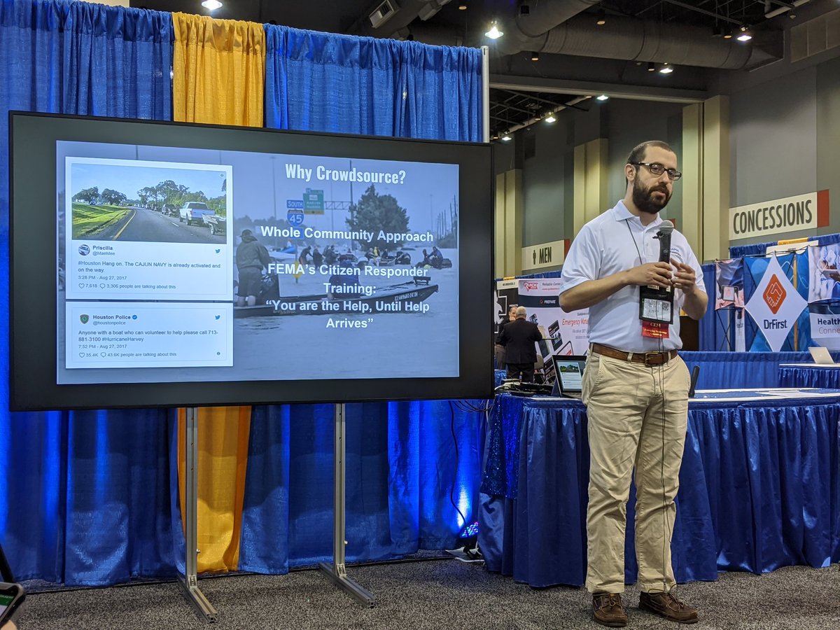
At 9:45am, come see my quick #IAEM19 Tech Talk "The Power of the Crowd: An Emergency Manager's Guide to Crowdsourcing for Situational Awareness" at the Emerging Technology Caucus booth 501. If you're not here at the conference, watch it live on the @iaemetc Twitter.
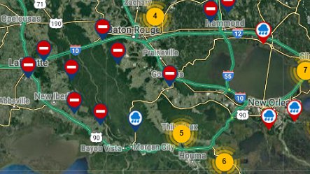
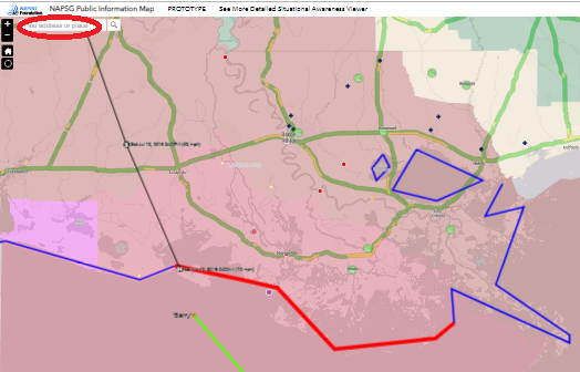
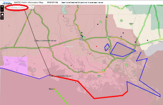
With @napsgfoundation and @CEDRdigital, GISCorps volunteers are actively supporting #HurricaneBarry response efforts by mapping photos of affected areas to promote situational awareness. See @FEMA's Crowdsourcing Unit Map Journal: https://t.co/1hSalwFLYM #StoryMaps
An open tweet to coastal residents of the Carolinas:
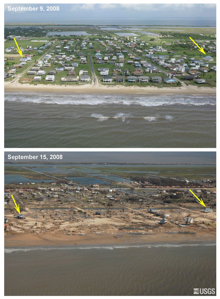
10 years ago today, we took a hit from category 2 #Ike. Like #Florence, it was a large hurricane with peak winds of 110 mph. These before/after photos show what the 15-20' storm surge did to our coast.
https://t.co/B0byHwOxsO
Hurricane Florence could bring up to 13 feet or more of storm surge to the Carolina coast. What does that look like? We show you like nobody else can. https://t.co/jDjojKOSRG
We've pre-staged food, water, generators, & other commodities in Hawaii to support emergency resource needs for Hurricane #Lane. More generators arrived on the islands today in anticipation of the storm's impacts. We continue to work closely with our partners to prepare.
How cool would it be if you could roll out a map of historic locations, see them as they were during major moments, and zoom in to explore? Wait! What!? #ComingSoon#AugmentedReality#Alamo#ARVR
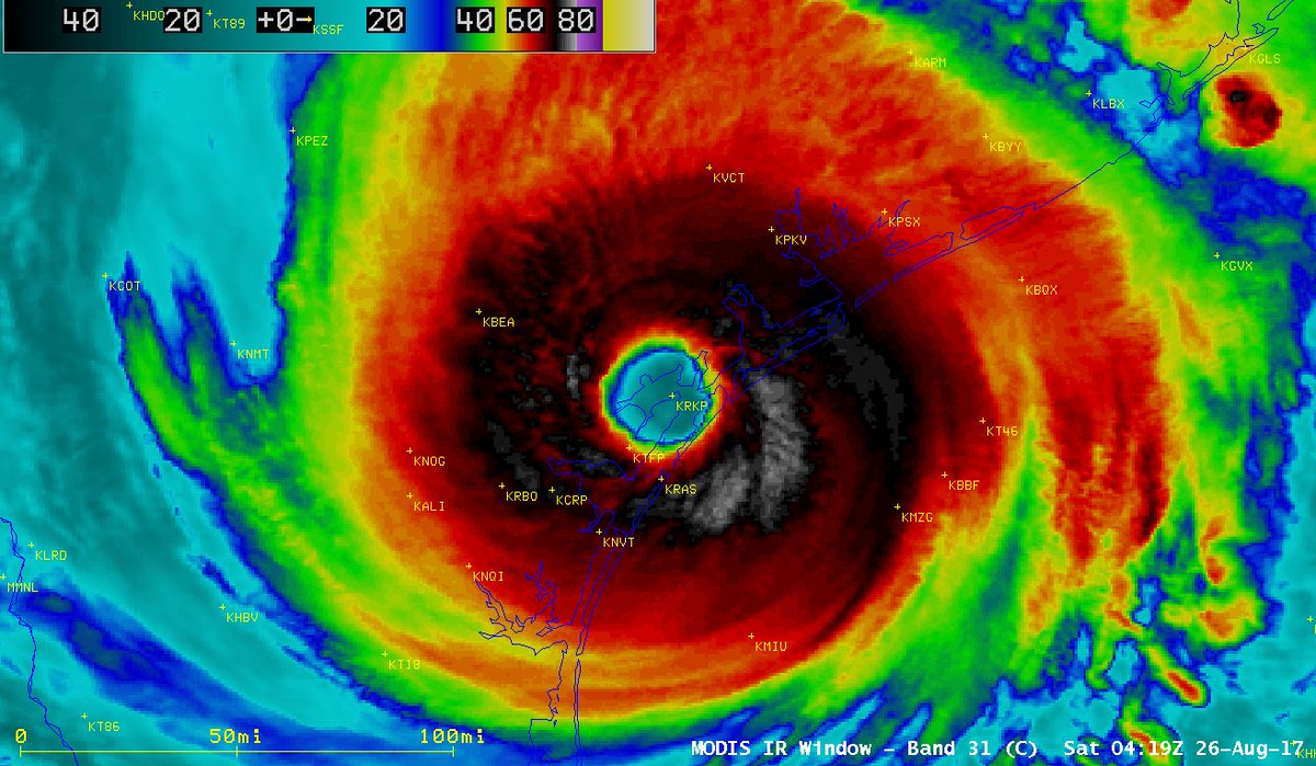
The #Hurricane#Harvey Tropical Cyclone Report has been released. The full document is at https://t.co/T8uHwRr4gd . Some facts taken from the report follow in this thread.