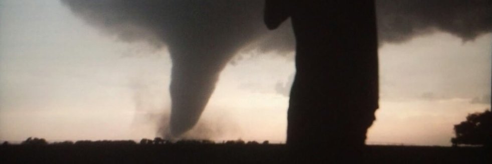
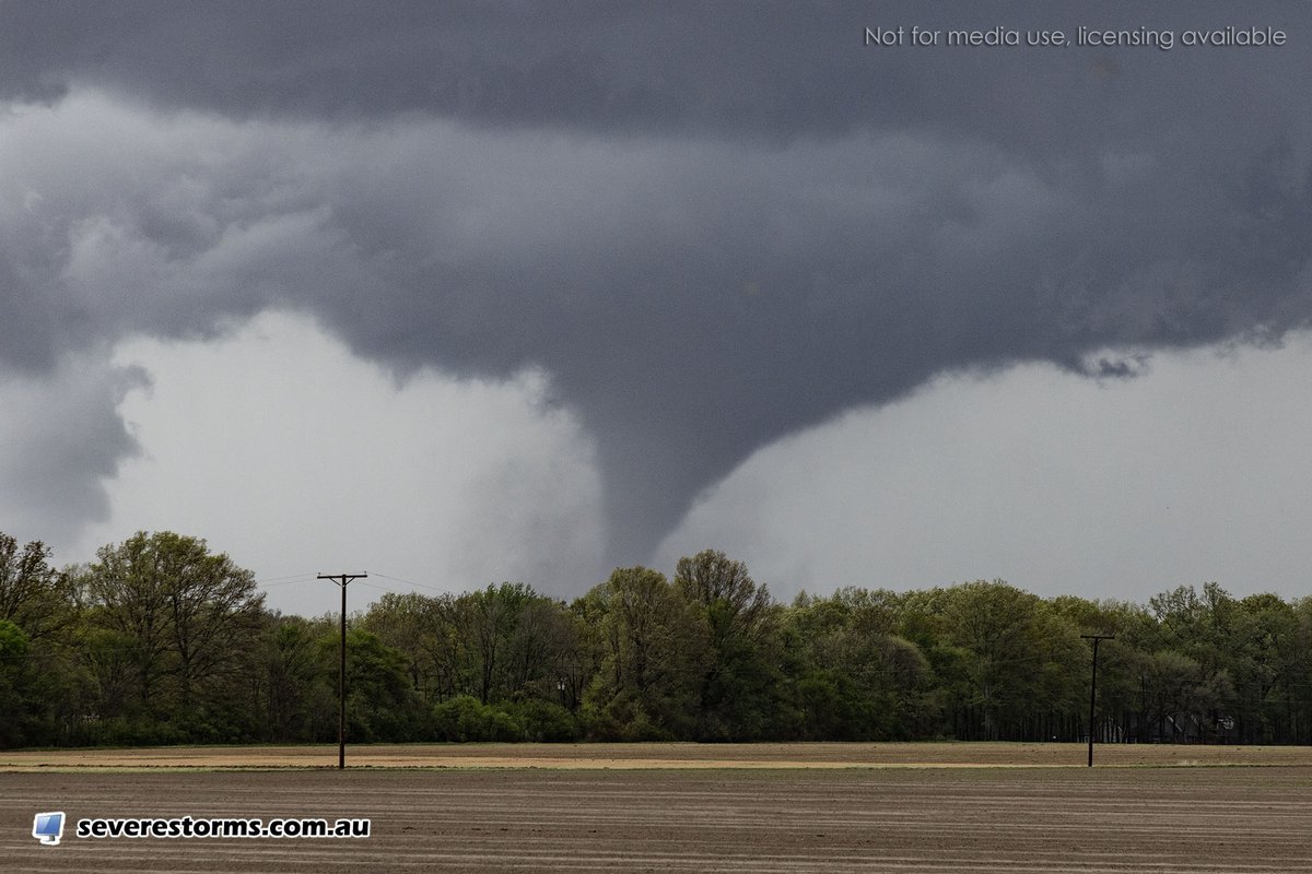
This image of the 2024 Lincoln, Nebraska Tornado reminds me of the 1990 Hesston, Kansas F5. But there's no question, the Hesston tornado was significantly stronger than the Lincoln twister.
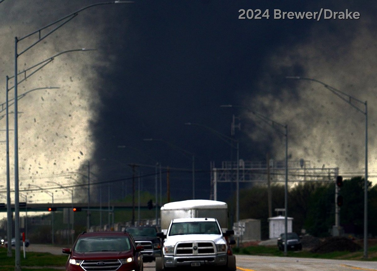
The multiple vortex structure of this tornado, especially the horizontal vortices, is indicative of EF4 intensity from a visual perspective. This tornado looks violent.
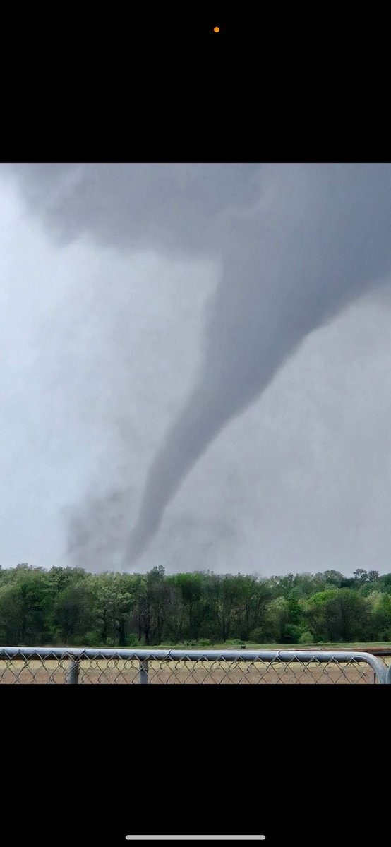
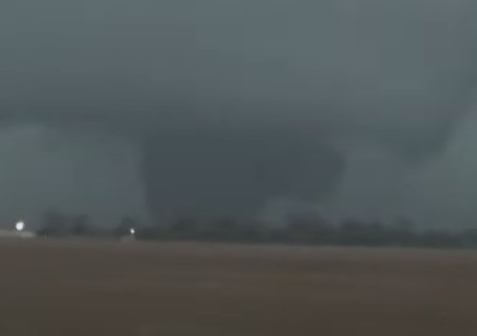
One of the more impressive tornado videos we've received in my time here. This from TJ Second in Union City. Looks like a strong, multi-vortex tornado. #MIWx@wwmtnews@NWSIWX
This is the best perspective I've seen of the Union City, Michigan tornado. Good lord, it just tore up everything in its path, wouldn't be surprised if this was intense (EF3+).
Video taken by Lisa Nicola on Facebook: https://t.co/hFKLky9Cmq
One of the more impressive tornado videos we've received in my time here. This from TJ Second in Union City. Looks like a strong, multi-vortex tornado. #MIWx@wwmtnews@NWSIWX
@SimonStormRider @shaneadamsmusic @mikeumsc Fun day. I later discovered from one of my professors that supercell produced a cold pool that inhibited other storms later that day which would have had tornado potential. Funny because I had a great chase. All about the experience!
#weatherpicofday
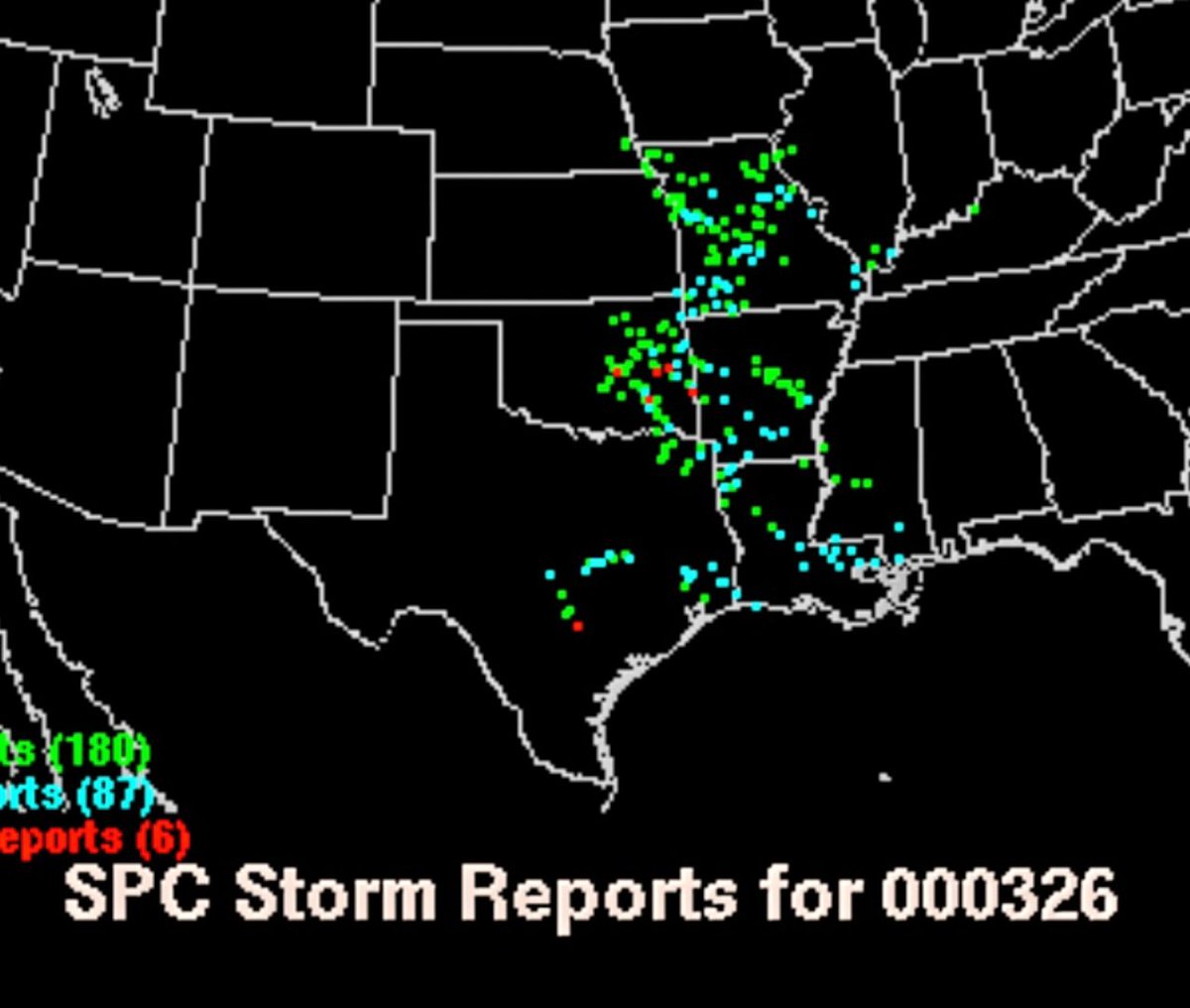
OTD 25 years ago, March 26, 2000,
@StormgasmJim, @Thomascat81, & I chased a low-topped supercell near Ada, Oklahoma, on a 'northwesterly flow setup'. It produced large hail, a rotating wall cloud, & a tiny funnel cloud. This was one of my earliest chases. #OKwx
FINALLY UP!!!
Our favorite tornado chase of all time! 8 twisters, including the long-lived Tornado #2, which caused some of the most extreme ground scouring we've ever seen!
Check out our NEW video
Oklahoma Tornado Outbreak
Includes the Historic Norman to Bethel Acres to Shawnee Longtrack, Violent Tornado!
w/ @JustonStrmRider & @StormgasmJim
https://t.co/zebMjGrrcd