Wir suchen für die nächsten drei Jahre eine Mitarbeiter*in, um im Projekt Cosmic Sense mehr über die Erkennung von Bodenfeuchte mit Fernerkundung zu erfahren. Eine große Chance für Feldarbeit mit UAVs, data crunching und auf ein tolles Team in Berlin. https://t.co/iI3LNk3soy
Somebody in #Leipzig knows someone who would rent a flat to UKR🇺🇦 daugher and mother? They've been with us for several weeks now - super friendly and thoughtful! They want a restart in GER 🇩🇪 since their home was entirely destroyed in RUS 🇷🇺 shelling. Any help appreciated! (1/2)
We are looking for you to work with us for the next three years to find out more about soil moisture detection with remote sensing data in the Cosmic Sense project. A great opportunity for field work with UAVs, data crunching and a great team in Berlin. https://t.co/iI3LNk3soy
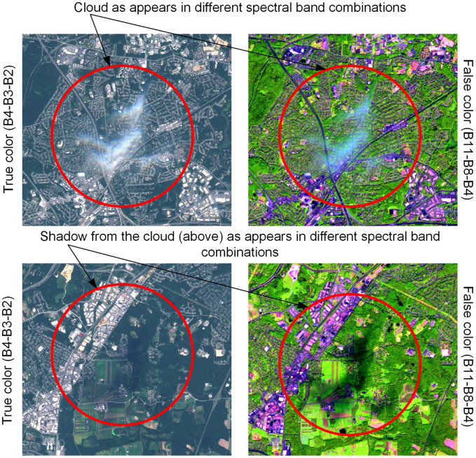
New discovery: UKIS Cloud Shadow MASK package masks clouds and cloud shadows in Sentinel-2, Landsat-8, Landsat-7 and Landsat-5 images. https://t.co/Y5xQMZUPNM
Do you want to extract beautiful @CopernicusEU#Sentinel2 and @NASA_Landsat imagery with a few mouse clicks? 📸🛰️
Check out this brand new #DigitalEarthAU notebook app for exporting (and customising) high quality satellite images using an interactive map!
https://t.co/ESr4ilUsUL
Die Spannung steigt: Umweltsatellit #EnMAP steht kurz vor dem Start mit SpaceX vom @NASAKennedy. Wir begleiteten unseren Projektleiter auf den letzten Schritten in Florida. #Raumfahrt
4K-Version auf https://t.co/MEkFBZCNHd
"Remove clouds". Sounds easy, is hard!
Skakun etal. Cloud Mask Intercomparison eXercise (CMIX): An evaluation of cloud masking algorithms for #Landsat8 and #Sentinel2.
Nice table w/ how to control cloud masking errors, +strengths & weaknesses of diff masks
https://t.co/oBOVgKH7ZD
Insane 🌋 kaboom and 🌊 waves, also during the night, via @NOAA / @NASA#GOES17 and @Google#EarthEngine. The scale at the bottom right is 100km.
https://t.co/2CYHi0M5sV
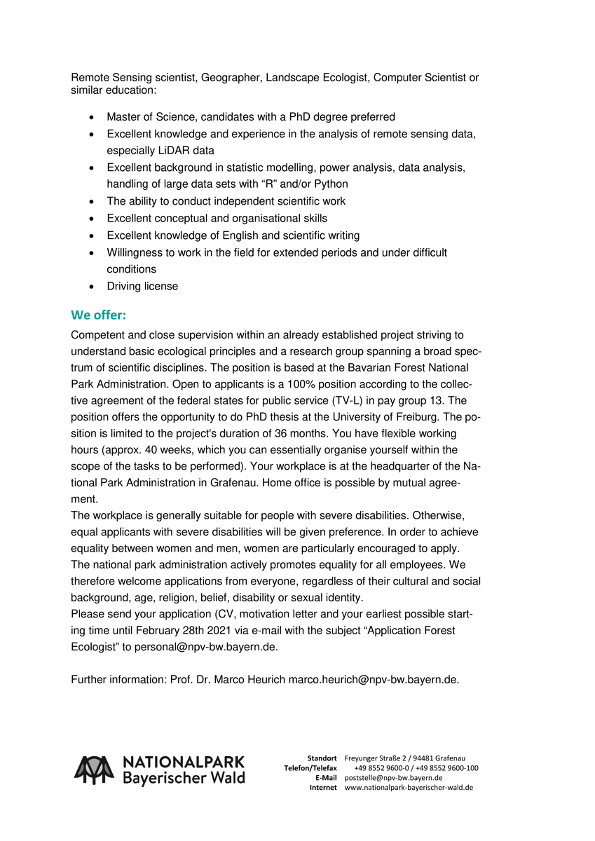
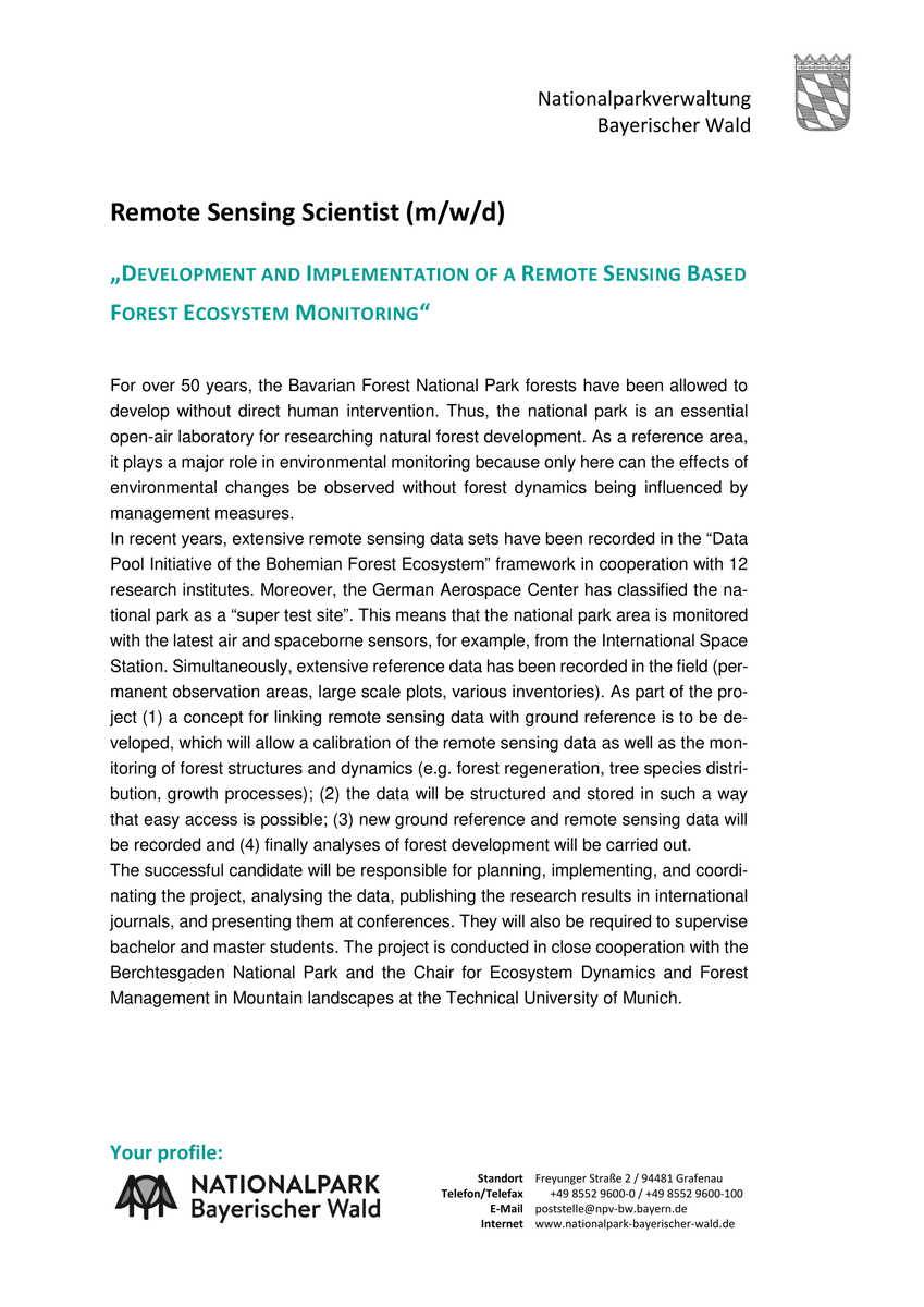
We're strengthening our remote sensing focus and are hiring a remote sensing scientist (MSc/PhD) to improve the forest monitoring in the Bavarian Forest National Park.🛰️🛩️🌲
Full position for three years!
Find the details below and please distribute! 📢
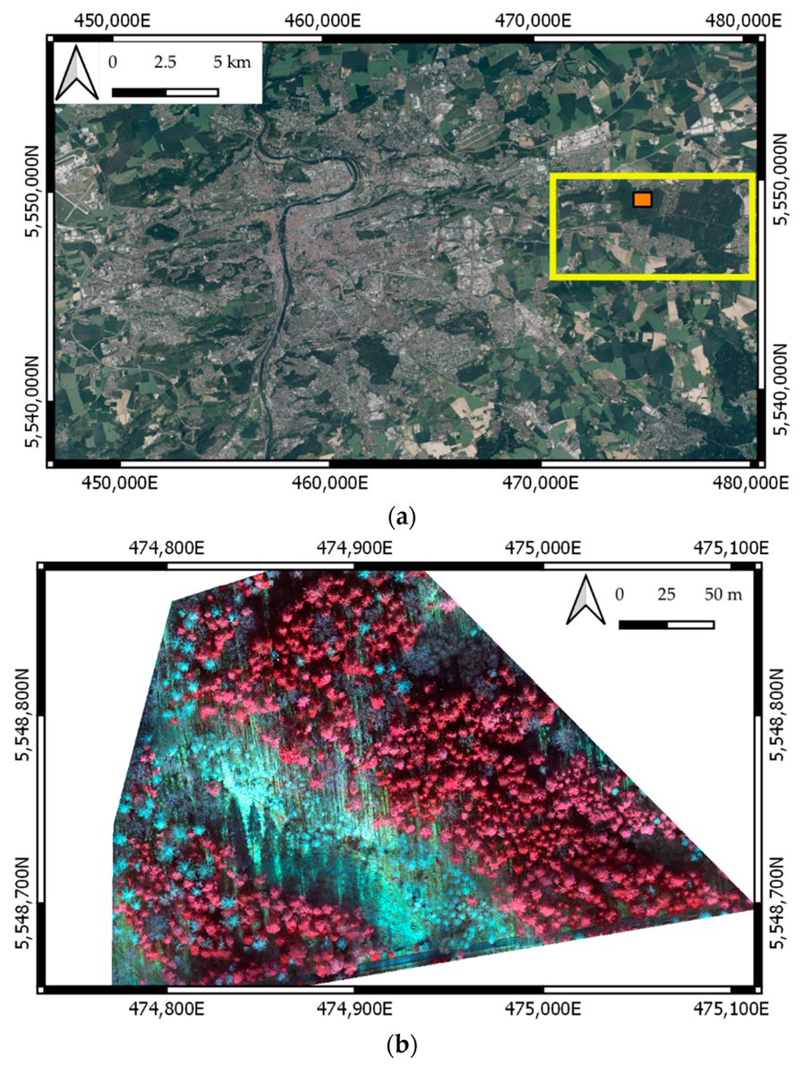
Automatic #Tree#Crown Extraction from UAS Multispectral #Imagery for the Detection of Bark Beetle Disturbance in Mixed #Forests
by Robert Minařík, Jakub Langhammer and Theodora Lendzioch
👉https://t.co/cP57QdUpDa
#remotesensing
#QGIS 3.22 is nearly here! Thanks to the Swiss QGIS user group we've been able to add some exciting cartographic features in this release. Read all about annotation layers and how they'll improve your maps here: https://t.co/8l1EgS06Af 🎁🗺️
Wir sind da übrigens auch dabei. 😉
Im Teilvorhaben FraxPath erfassen wir mit Hilfe von Mikrosatellitenanalyse und Infektionsversuchen die Populationsstrukturen sowie Virulenz- und Infektionseigenschaften des Erregers:
https://t.co/7sU757M80o
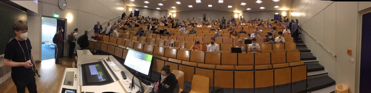
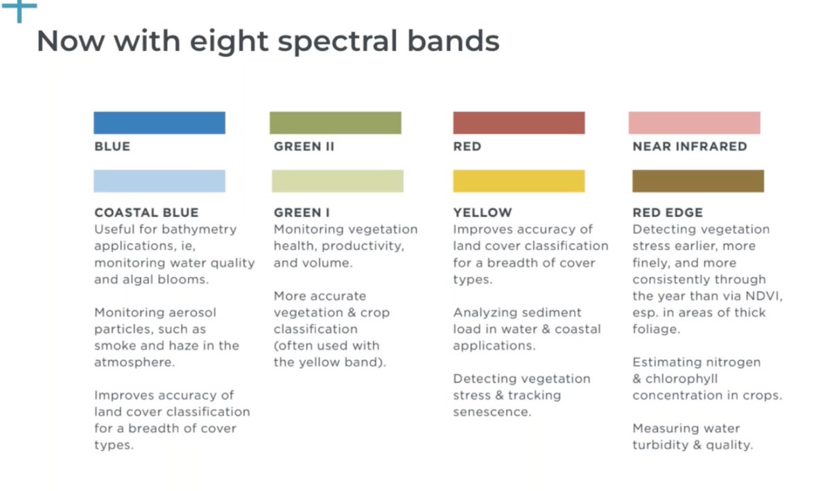
It's a wrap! @Planet#Explore21!
* Key product announcements were Pelican & Fusion+SAR: https://t.co/s5OztSdPZb
* Key partnerships were announced with @googlecloud & @BloombergDotOrg for @carbonmapper
Thx everyone for coming! & if you missed talks, they'll be on YouTube soon 🙏