🎙️ Your Fields of The World podcast playlist:
🌍 Spatial Stack w/Matt Forrest -https://t.co/r08VOvgP6o
🛰️ Satellite Image Deep Learning w/@robmarkcole -https://t.co/9NwtKw5SIF
💡 Great Data Products w/@jedsundwall@OurRadiantEarth@source_coop -https://t.co/3ryOXjDu1f
Join us for a conversation about the world's first #opensource global field boundaries dataset with Spatial Stack's Matt Forrest and our VP of Strategic Innovation Jen Marcus and Director of AI/ML Research @isaaccorley_#GeoAI#OpenData#collaboration
https://t.co/OMkRUFWOuu
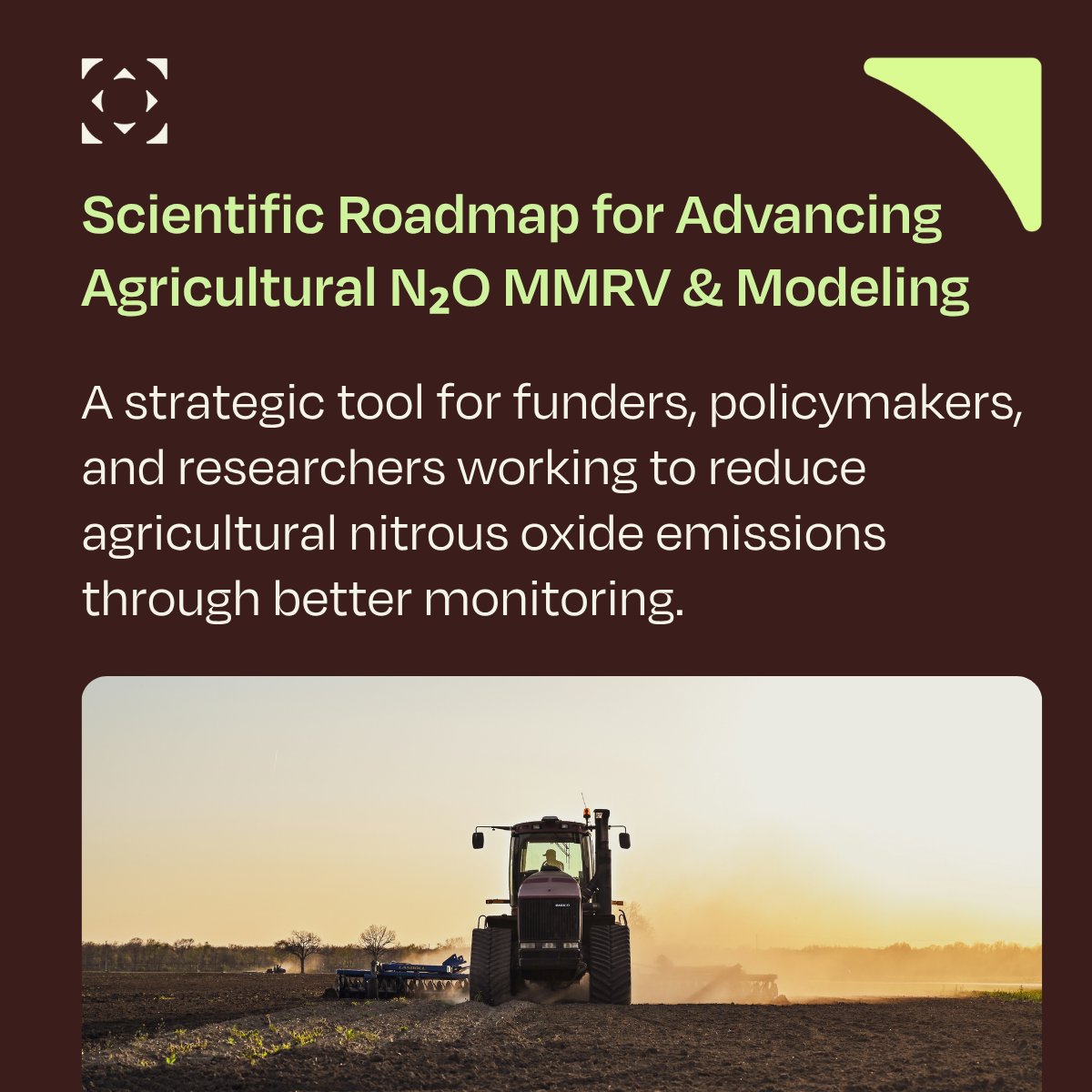
Taylor Geospatial, the nonprofit dedicated to advancing geospatial artificial intelligence, has awarded $550,000 each to three projects focused on global food security.
https://t.co/myLGL2H5ej via @TechSTLmo@stlbiznrubbelke
Via @Mizzou University of Missouri and MU Extension Selected as Awardees in Taylor Geospatials’ Global Geospatial Innovation for Food Security (GIFS) Challenge
https://t.co/yTCOpz2D1P
How can AI help detect food crises before they escalate?
@HarvestProgram, @ASU, @WashU + @FEWSNET are building a GeoAI tool to spot early signs of food system instability in conflict and climate-impacted regions.
Via Taylor Geospatial's GIFS Challenge
https://t.co/rnGb6Asadj
We're excited to be at @CVPR this week with the paper behind the first-ever #OpenSource dataset of agricultural field boundaries at global scale.
Cheers to all the Fields of the World researchers, including our AI director @isaaccorley_.
#FTW#CVPR2026
https://t.co/Ku8P69ZLpO
Join our Director of AI/ML @isaaccorley_ at the #CVPR2026 Image Matching Workshop on June 4, where he and co-authors examine whether pretrained image matchers can handle cross-modal satellite registration for disaster response. https://t.co/LKRSrsHofv
Headed to #CVPR2026? Meet our Director of AI/ML @isaaccorley_ and Research Advisor Hannah Kerner (@ASU). Their research enabled the first-ever #opensource map of agricultural field boundaries at global scale. https://t.co/Ku8P6a0jfm
The team plans to test the open-source tool in Sudan, Ukraine, Syria, and Haiti, where timely information on crop conditions and food assistance infrastructure can be difficult to access.
Learn more here! 👉https://t.co/MF1Fq4awWH
NASA Harvest is joining @ASU , @WashU, and @FEWSNET on a new GeoAI project funded through the GIFS Challenge from Taylor Geospatial.
The effort will help detect early signs of food system instability in conflict zones using satellite data and natural-language queries.
Taylor Geospatial names three awardees under its Food Security GeoAI Challenge, each receiving up to $550K in funding over 18 months to build geospatial AI tools. https://t.co/SQTG7HmF0x #AgTech#FoodSecurity#PrecisionAg
Through our GIFS Challenge, a team from @ASU, @WashU, @NASA Harvest, & @FEWSNET is developing GeoAI tools to detect early signals of crop instability, helping decision-makers act sooner & more effectively.
#GeoAI#FoodSecurity#AIforGood#EarthObservation
https://t.co/piNojwgX4S
We recently released the first #opensource map of agricultural field boundaries at global scale. 🌎
This paper, accepted to #CVPR2026, is the research that made it possible: https://t.co/QqEtYPWaCX
Learn more: https://t.co/Ku8P69ZLpO