Now available: @USGSLandsat 9 data!
Read the headline - Landsat 9 Data Release Extends Unparalleled Earth Observation Archive: https://t.co/ZhMJOOoChM
Get the imagery: https://t.co/2LlUNgQO1n
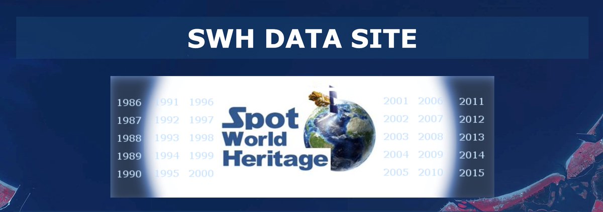
30 yrs of SPOT satellite imagery now available! @CNES Currently nonorthorectified L1A format, but users can soon process the data on-demand to an orthorectified L1C product. Also working on providing CEOS Analysis Ready Data for Land (CARD4L) products too! https://t.co/FbOQxONEUn
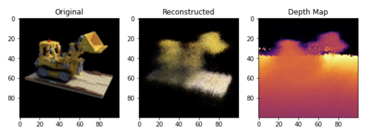
New code walkthrough on https://t.co/m6mT8SrKDD: 3D volumetric rendering with Neural Radiance Fields (NeRF).
https://t.co/oilZ2Mnjl3
Synthesize novel views of a 2D scene by learning the volumetric scene function.
Happy to announce a major update to my 'Mastering GDAL Tools' course. The course now includes OGR tools and has new sections for downloading WMS layers, Working with KML files, and much more. Completely free and shared under an open license. Check out https://t.co/lHBm8FW4m9
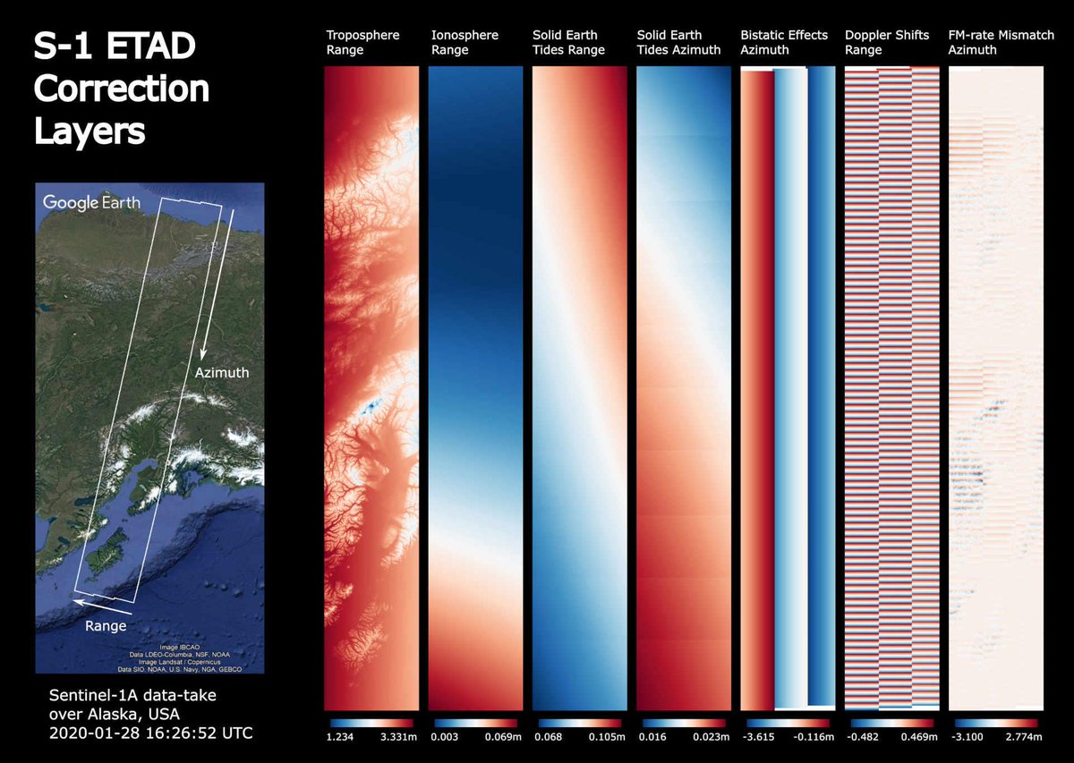
Higher accuracy for 🛰️ images!
First developed by researchers at @DLR_de for the TerraSAR-X mission, the correction processor is now being tested at @esa to improve the geometric measurement accuracy of the #Sentinel1 image data down to at least 20 cm: https://t.co/XLOtRH9cY3
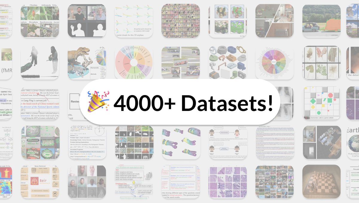
🎉 We've just crossed 4000 Datasets! 🎉
A huge thanks to the community for their ongoing contributions.
Since launch:
🆕 1000+ new datasets added
🔗 Dataset links now show on arXiv
👩💻 Dataset loaders
Browse full catalogue here: https://t.co/lO4NpjIR9q
Kaggle is famous for machine learning competitions. Less well known is our datasets platform, which is a treasure-trove of great datasets (https://t.co/E2g4DdizeL).
Over the coming months, I'm going to be Tweeting interesting data from it to showcase what's there.