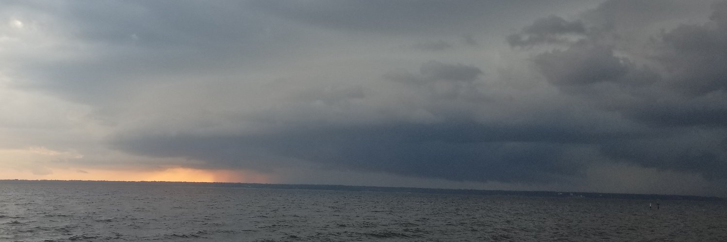
@NWSMobile@rzweather This shower in Milton is absolutely spitting out CGs. Just had a bolt land 3 houses down a few minutes ago, temporarily knocking the power out here on Westmont Rd.
@Emokwx@225MPH_EF4 One thing I noticed on livestreams a few minutes before the tornado was how visible the RFD surge was from the base of the storm, even before the precip came in.
Well here it is, over three months of work, research, interviews, and deep dives into the internet to reconstruct one of Florida's most unknown and misunderstood tornado outbreaks. Documentary coming soon. @WeatherManSeek@CeltonHenderson@FLStormChasers_@850Chaser@TheEmWx
@AdamLucioWX Gotta be honest here, as much as it is funny to clown on Atlanta, DFW & Jersey traffic the most, this is unfortunately gonna get worse all across the country since it seems they keep making it easier to get a license simply because you need one to get around most places, which is
I think I may have found an undocumented tornado from the 1974 Super Outbreak.
The scar is NE of Curtis Crossroads, AL and over Lewis Smith Lake. It is between the Guin, AL F5 and Jasper, AL F4.
The track doesn't appear until after 4/3 and orientation matches 4/3 storm motion.
@NWSMobile@rzweather@WEARAllenStrum It appears as if the strongest part of the storms avoided Milton proper (at the very least west of downtown). Had a period of heavy rain, but almost no wind here off Avalon Blvd.
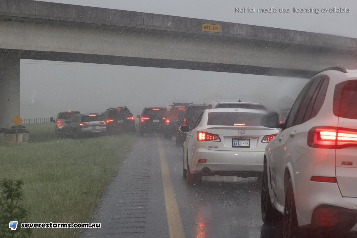
It's only a matter of time until a tornado comes through standstill traffic that completely blocks the highway just because of hail and kills a line of stuck motorists. In this case I actually got out of my car and walked through the barely 1" hail and stood in front of the banked up cars and then they cleared the travel lanes. I'm slowly drying off. Please can we at least keep the travel lanes open. Captured near Caddo, Oklahoma. @NWSNorman #okwx
4/24/26 Friday:
Here is the 60 day deficit of rain for the SE region - in inches. Some areas are a little higher than what this map reflects from individual climatology reports that I have seen, but overall this shows the serious lack of rain in our region. Burn Bans are in effect for some states to err on the side of caution.
I feel like one thing that has not been talked about is the mindset of Enid when the tornado hit.
I have lived here 10 years and the thing you hear just about every severe weather day is, “Enid doesn’t get tornadoes” or, “Enid is in a valley, we don’t get those”.
(1/?)
Cutting so many soundings from the EML source region has been disastrous for model data. Forecast verifications have been really bad lately. We really need something to give here…
Finally we're hearing from local @NWS WFOs what has been quietly circulating over the last few weeks. A @NWS reorg underway now with absolutely NO invited input from the NWS partners. This is unacceptable.
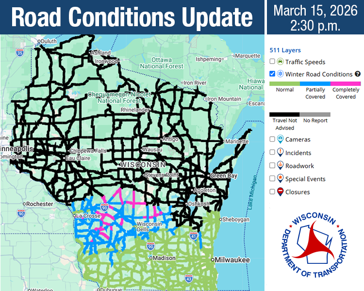
Share this information far and wide: stay home and stay safe! This is a rapidly evolving, life-threatening situation. Northern WI counties are severely impacted by the winter storm. Many roads are impassable and travel is not advised across the majority of northern counties.
@NWSMobile@rzweather I will say I haven't seen anything in the way of a lightning uptick on this cell. I personally saw like some decent lightning in the anvil over the middle of Santa Rosa County, before seemingly weakening as it approaches the Okaloosa County border.