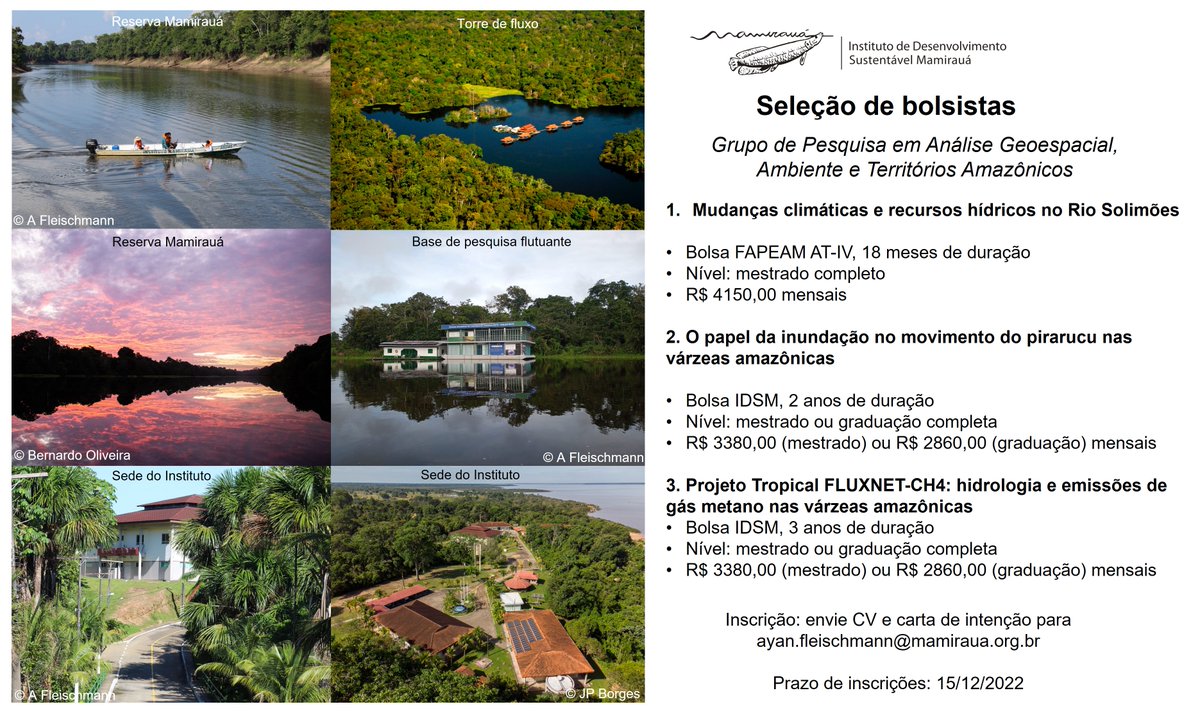
Call for research grants!
Want to do geospatial, hydrology and climate science in a great research institute at the heart of the #Amazon? Come work with us in the Mamirauá Institute in Tefé!
There are 3 open grants to work with me in the Research Group in Geospatial Analysis.
Come be a postdoc with me in beautiful southern California @ChapmanU! Our enriching PD cohort program provides professional development + teacher training, equipping you well for academia. Salary is $65K + $5K research support.
https://t.co/CnwKolng14
Please RT! With the new NASA ECOSTRESS funding, one postdoc position is open in my lab to work on improving vegetation water use change detection and monitoring using multi-source satellite data with cloud computing. If interested, please send your updated CV to [email protected]
🤩
I'm delighted and humbled to receive one of @theAGU highest honors for excellence in scientific research–the Science for Solutions Award!🏅
✨I'm incredibly grateful to all who supported me along the way 🙏 and will continue to pay it forward to our scientific community.
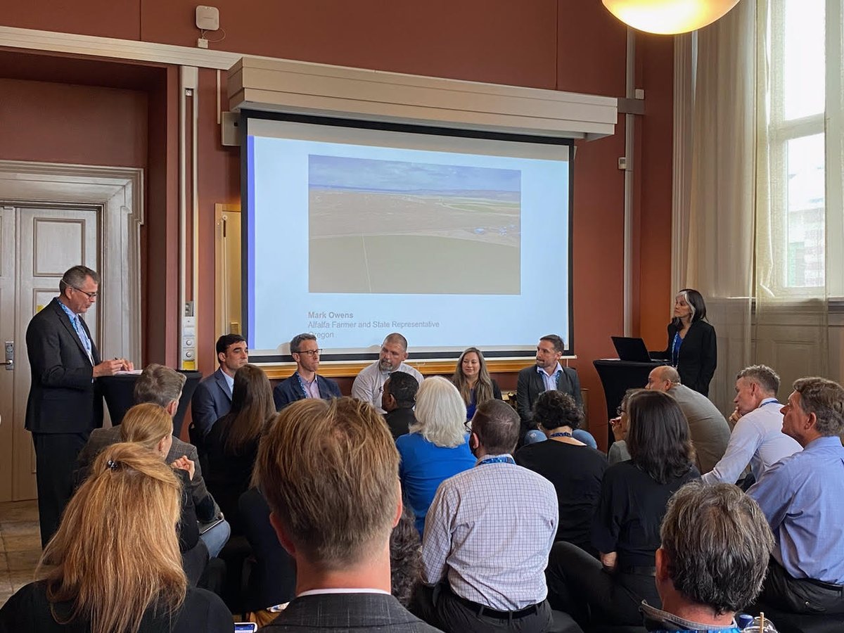
Thank you to everyone who attended our @siwi_water#WWWeek session and to our wonderful panel of users and partners who shared how they are using #OpenET data to improve water management, conservation, and forest and watershed health.
.@NASA satellites help us see the unseen when it comes to #climatechange and other human impacts on the environment. Did you know #GRACEFO monitors groundwater by detecting where and how much water is pumped from deep below? This video shows those changes ⬇️ #WorldWaterWeek
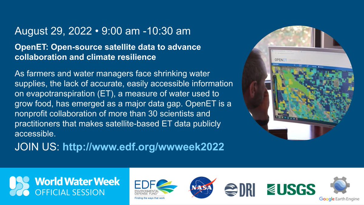
Agriculture is the biggest user of water & irrigation claims nearly 70% of all freshwater for human use. @OpenETdata is a game-changing platform to help measure water use. Learn more & submit a question about OpenET for our 29 Aug #WWWeek session: https://t.co/t0eBUxKgfD
Are you attending @siwi_water’s #WWWeek in Stockholm? Don’t miss our Aug. 29 session on how @OpenETdata is helping to transform water management in the #drought-stricken western U.S. https://t.co/rBM7ZAvUzN
#OpenET is a game-changing platform that enables farmers and water managers to accurately track water consumption by crops using data from satellites. Learn more and hear from users @siwi_water’s #WWWeek on Aug. 29. https://t.co/rBM7ZAvUzN
In this new paper published in @RemoteSens_MDPI, led by @anderson_ruhoff, we assess global evapotranspiration datasets with a water balance approach across South America.
https://t.co/Mn1o1Ma0Zq
I am pleased to share a new preprint, the final chapter of my #PhD#thesis. We map canopy height globally with a probabilistic deep learning approach fusing #Sentinel2 and #GEDI.
Preprint: https://t.co/pttuf0KgpD
Website: https://t.co/9FuUuS7kW6
@EcoVisionETH @ETH_en@Yale
An international team of more than 20 scientists compiled a comprehensive review of the Amazon basin’s hydrology, and charts a path forward for @NASAJPL’s upcoming remote sensing missions. New research in #AGUpubs.
https://t.co/yzAfiHxM9f
A new #AGUpubs review provides a holistic view of the Amazon’s water cycle while laying out challenges and knowledge gaps for future research in the region.
https://t.co/yzAfiHxM9f
Hurricane-force winds, dust storms, tornadoes, wildfires, snow squalls, heavy rain, and record-breaking heat accompanied an unusual December storm system that swept across the U.S. Midwest. https://t.co/Fvxq3k8K6Q
Starting in January, landowners in California’s Delta will be able to use OpenET instead of water meters to comply with state law. How OpenET can be a huge asset to the region: https://t.co/BDU3JdbEHk