Interested to know more about how @ESA_EO#Sentinel1#radar data can be applied to fisheries? You're in luck! Our paper has been published in @RemoteSens_MDPI, detailing @boris_snapir's Random Forest method to differentiate fishing vessels in the North Sea https://t.co/RNUUIxl82W
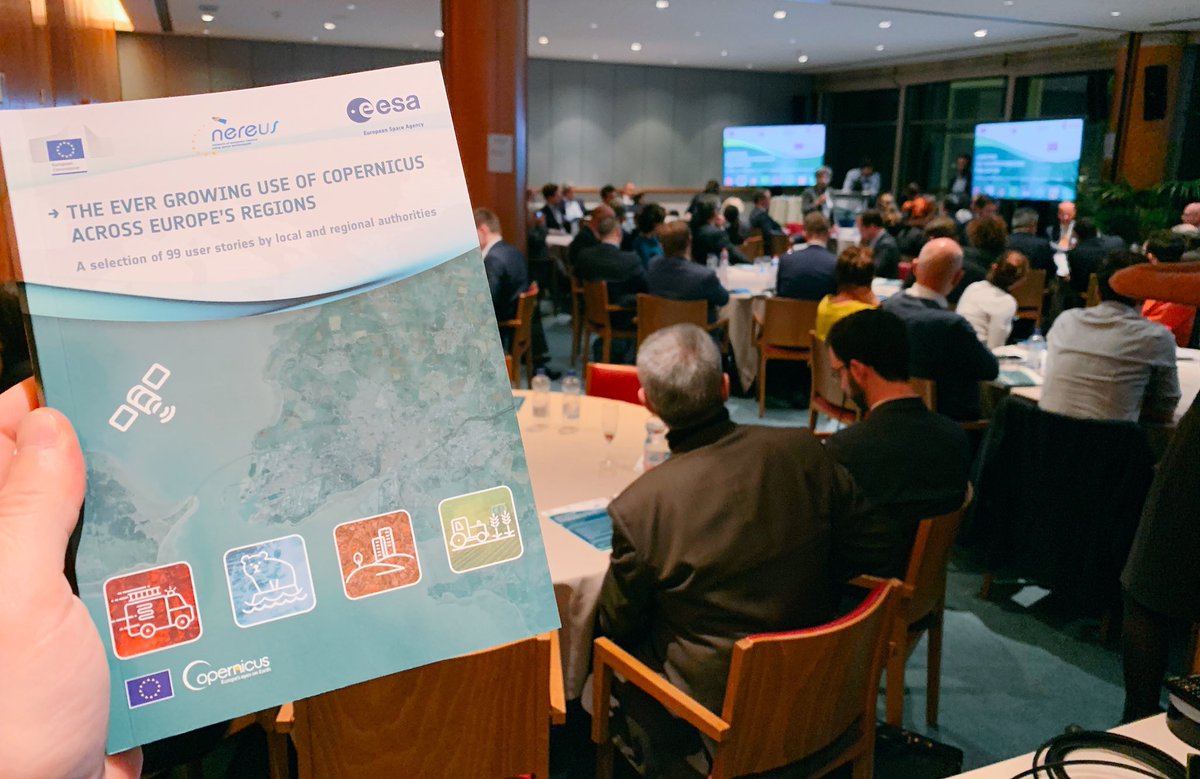
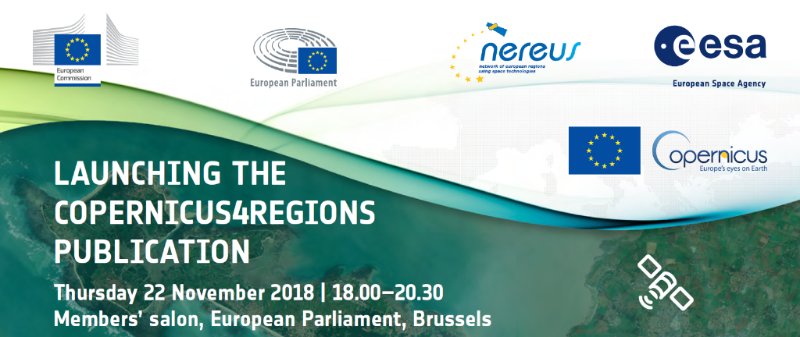
Your free copy of “The Ever Growing Use of Copernicus Across Europe’s Regions”, as just presented at #Copernicus4Regions can now be downloaded here: https://t.co/6SLjdQRVad
Check out how to leverage @xarray_dev, @dask_dev and @HoloViews for Cloud Native Geoprocessing of Earth Observation Satellite Data with @pangeo_data By Scott Henderson. https://t.co/U0IlTG1FS1
New paper on mapping snow melt using #sentinel1 and #MODIS images processed in #EarthEngine, for improved management of water resources and flood risk https://t.co/YjfY7yEQcL
America is the world's largest weapons exporter. I was curious to see what this looks like over time, so I mapped the flows of arms transfers leaving the U.S. from 1950 to 2017. The data comes from @SIPRIorg 's Arms Transfers Database. Full video here: https://t.co/5h1I6B2Xlp
Watch our video wrap from #EEUS18! An exciting event that highlighted the hard work #EarthEngine users are doing to solve the planet's problems: https://t.co/ZAxDqiY8B3
New study by @GlobalFishWatch and their research partners shows that industrial #fishing is happening over 55% of our ocean at any given time. That's ~FOUR TIMES the spatial extent of global #agriculture 😨 🎣🚢 https://t.co/V1kxUF8NX4 and published in @sciencemagazine