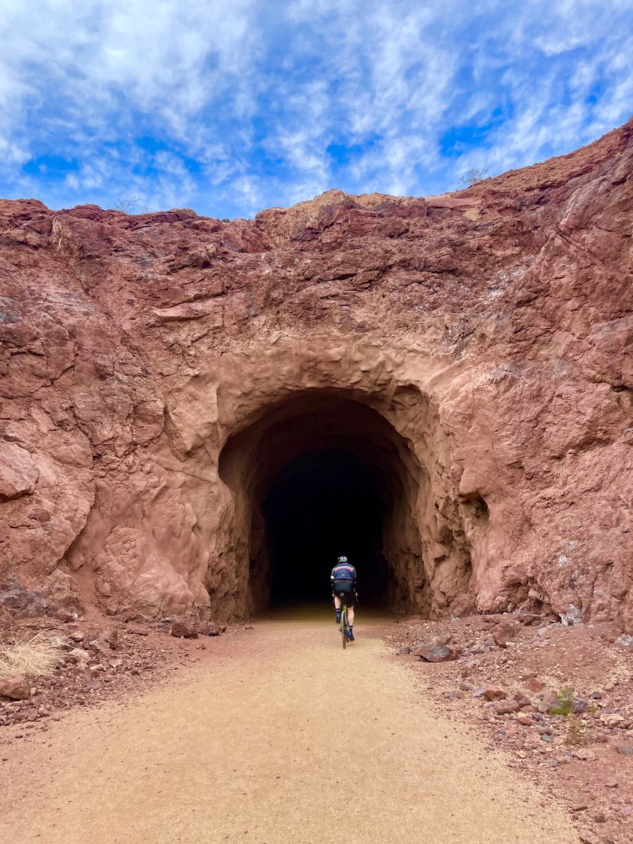
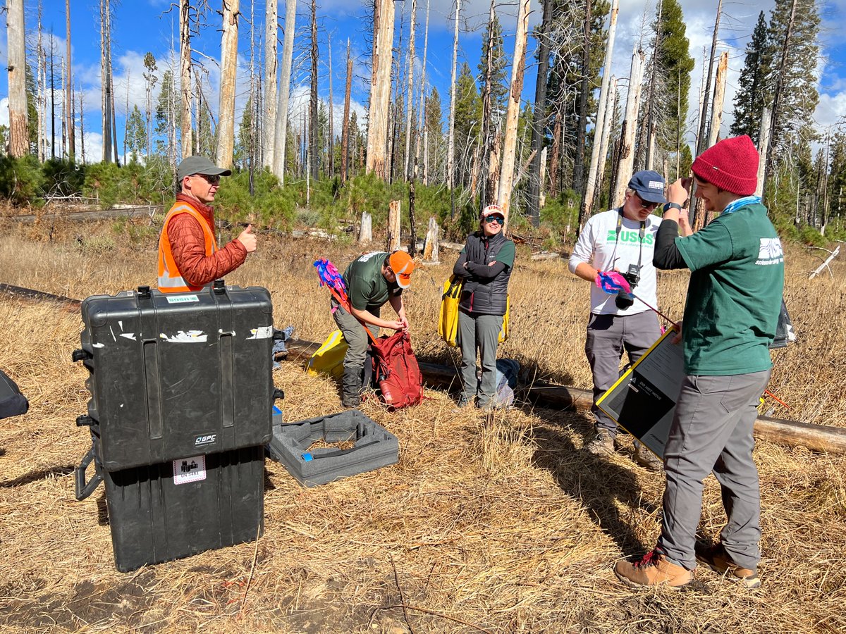
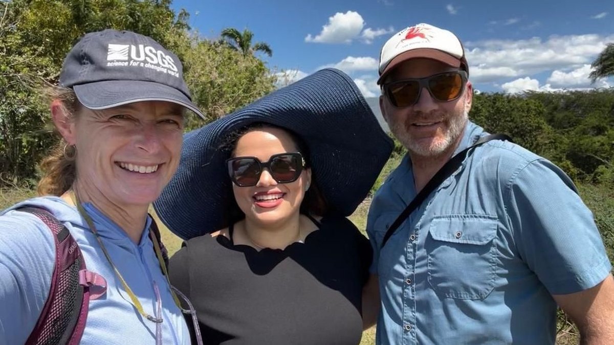
We were fortunate to work in scenic landscapes and coordinate with talented teams across @USGS and @YosemiteNPS in support of the Ackerson Meadow restoration project this past year. #FieldPhotoFriday 🌈 (1/2)
In November 2023, we collected UAS #lidar at Ackerson Meadow in Yosemite National Park to provide essential data to @USGS and @YosemiteNPS scientists during the initial phase of large-scale ecosystem and channel restoration.
Learn more:
https://t.co/9gIMlpR4WE
In June, we collected #UAS lidar data for ecological restoration at @YosemiteNPS in collaboration with @USGS_Quakes. We worked closely with @NatlParkService for authorizations and permits. Recreational UAS use is prohibited at Yosemite. (1/2)
Especialistas del Servicio Geológico de EEUU visitan RD para trabajar en proyecto sobre fallas septentrional
https://t.co/dS6VQZIyMm
Santiago de los Caballeros.- Especialistas del Servicio Geológico de Los Estados Unidos (USGS, por sus siglas ...
Interested in joining the @USGS team? 👋
Information about the federal hiring path, using @USAJOBS, and stories from current employees can be found here:
https://t.co/SXvRTVY7dl
Important! Reach out to the research advisors listed on the ad if you're interested in applying. We're on the lookout 👀for applicants and expect to hear from you, even if you just want more info
We are hiring for a #Mendenhall postdoc position focused on the use of optical (satellite, airborne, UAS) imagery to study faults and natural hazards with @NASAJPL and @SESEASU.
More info here: https://t.co/yFbMlGM3WZ
Proposal deadline is April 17, 2023.
Job Alert!
If you are interested in a postdoc position focused on the use of optical imagery to study plate boundaries with
@USGS_Quakes@NASAJPL@SESEASU
contact research advisors and discuss a proposal: https://t.co/E3BO8HqaMe
#earthquake#usgs#tectonics
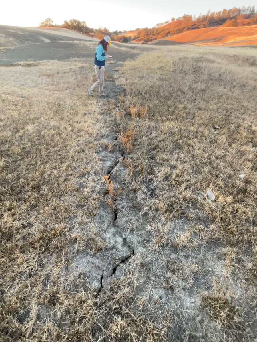
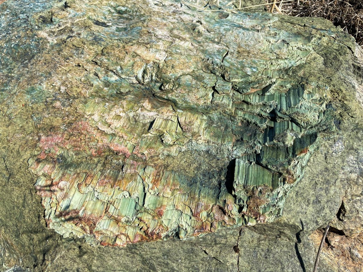
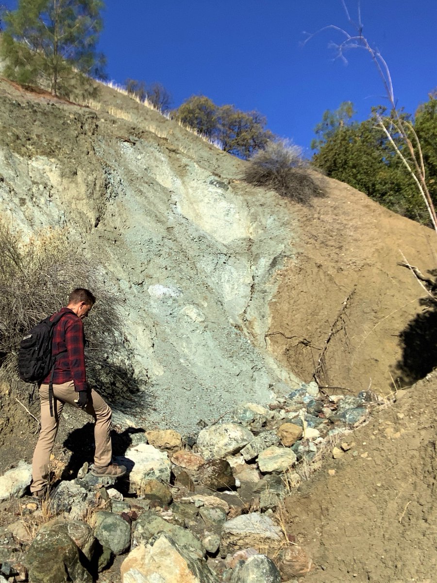
.@USGS_Quakes & @SESEASU are mapping the creeping #SanAndreasfault through rugged ranchlands in central CA. The fault is expressed as sharp rock type and color contrasts in canyons, aligned cracks in parched soil, elongate ridges, and beautiful sheared and striated minerals.
New paper! Duluth! Looking back to the big storm 10 years ago.
Regional‐Scale Landscape Response to an Extreme Precipitation Event From Repeat Lidar and Object‐Based Image Analysis https://t.co/PCGo59HjCk
SO YOU JUST USE BOTH LANES AND RESIST THE URGE TO MERGE EARLY AND THEN TAKE TURNS AT THE MERGE POINT AND EVERYONE KEEPS MOVING AND THAT’S WHY THE ZIPPER MERGE IS SAFE AND EASY AND YOU SHOULD ALWAYS DO IT IN CONSTRUCTION ZONES