📜new paper out 📜
Terrestrial laser scanning (TLS) is more and more used to measure tree volume in 3D. But how accurately can we model small branches?
➡️OA https://t.co/tccym9eD5i
with @kungphil, Pasi Raumonen @Hans1Verbeeck@sruthiMoorthy, Bert Gielen,
Map shows the general pattern of drone privacy laws across the globe. Privacy and security concerns will see a strong tightening of regulations I'd expect. As always, regulation will follow innovation. Source: https://t.co/gPDiRctWvA
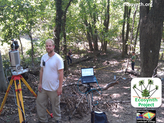
Proud to be part of @ForestGEO@UMBC Forest Research Plots in
ForestGEO : Understanding forest diversity and dynamics through a global observatory network #UMBCproud#Ecosynth
https://t.co/gFmn8bfWUS
Apply Now! Graduate Student Assistantships (PhD & MS) in Geography & Environmental Systems @UMBC (full tuition, salary & health)
https://t.co/feVLoJUxzk
Deadline for Fall 2020 admissions = February 1, 2020
Apply here: https://t.co/uycwvqD2KX
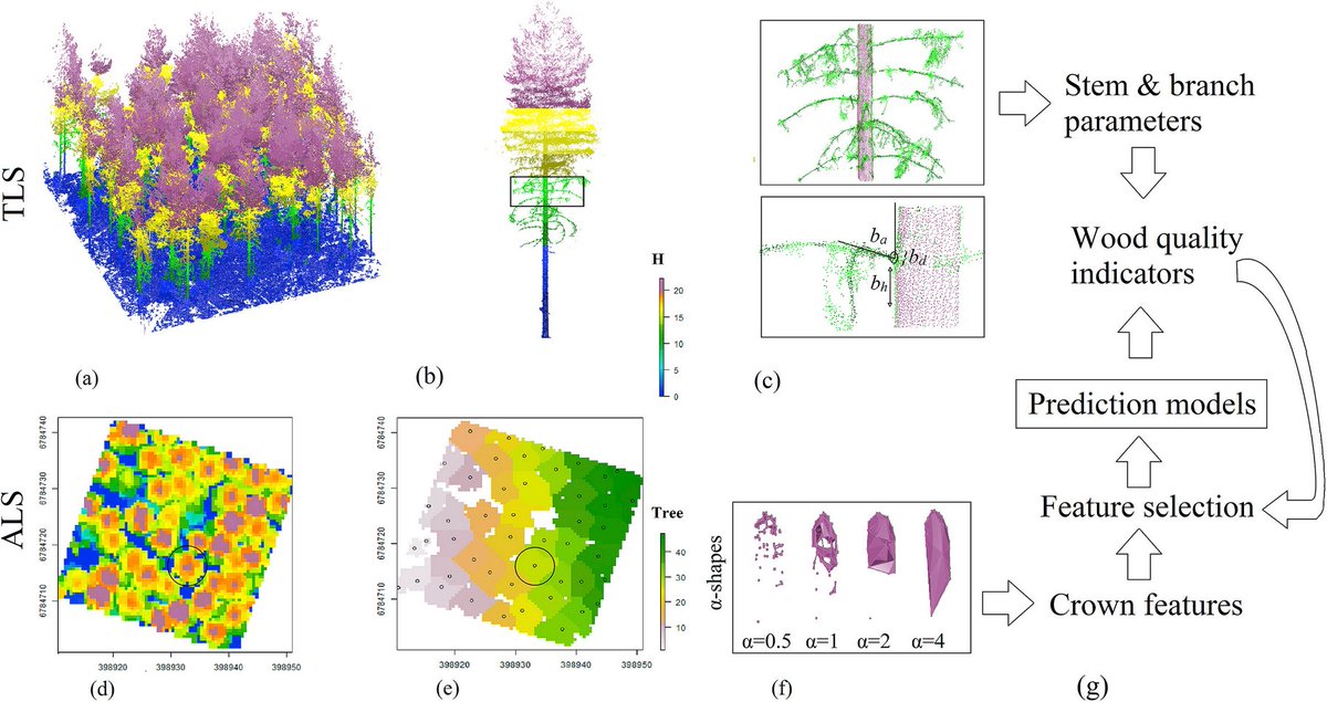
By fusing #TLS and #ALS point clouds variability of wood properties can be predicted w/ tree- and stand-level indicators. Canopy closure was found an important feature for characterizing variation in wood properties.
https://t.co/eUCk5yf9TE
#openaccess#lidar#coelasr
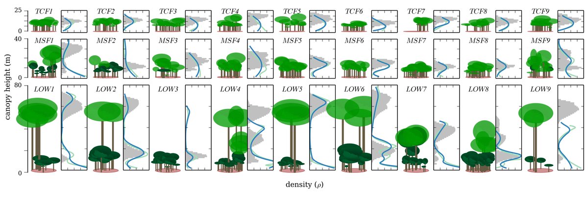
ForestLAS, a #python package to characterise a canopy vertical structure 🌳 from airborne #lidar
https://t.co/JlODIJ0YAv
Finally uploaded code from my PhD for y'all to enjoy.
@ProfCoffeeRMIT@_FrontierSI_
Introducing Seek, an incredible new app from our @inaturalist team that uses #computervision to identify plants & animals even before you take the picture. A beautiful way to explore Earth's biodiversity; details at https://t.co/d6a10onTtB, download free from your app store.