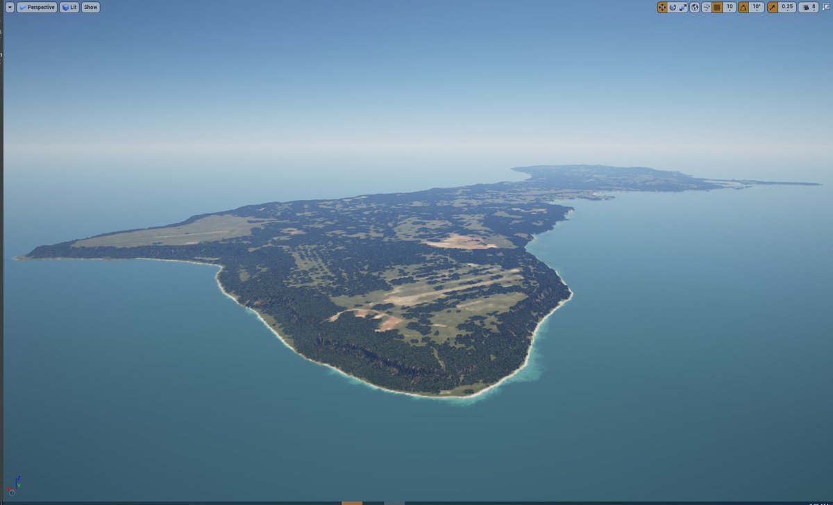
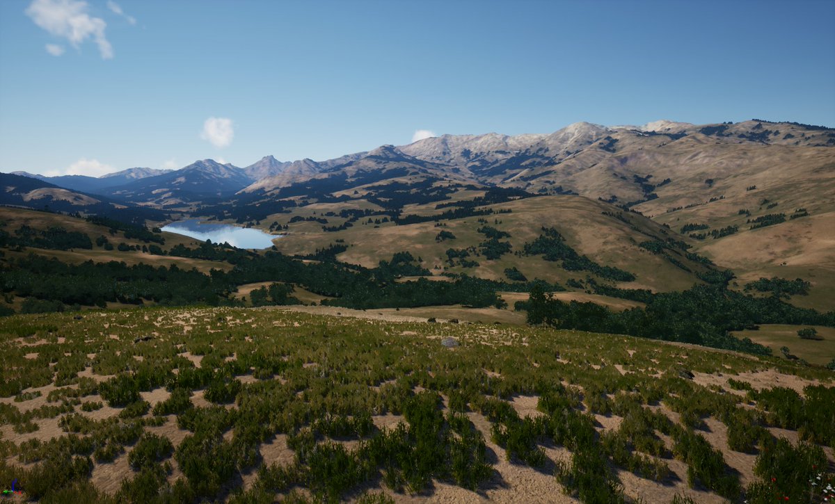
Another sample whole-Earth procedural terrain visualization reconstructed from real-world satellite data...ready for simulation. Next up (in days): collisions and navigation.
#UE4#EpicGames#Simulation#GIS
@UnrealEngine@ShoresofPlunder Hi everyone! Our update today - we are making the whole Earth alive in Unreal Editor! Even more exciting features are coming very soon! https://t.co/QGvO0LNHOD
#ue4#screenshotsaturday
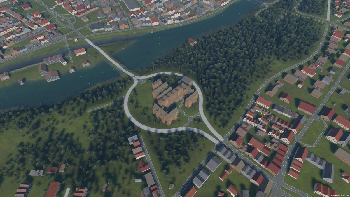
Hey everyone here is another update of UnrealWild plugin. We are adding support for OSM road mask and general masking feature.
https://t.co/hbdh55SIwR
#OpenStreetMap#UE4
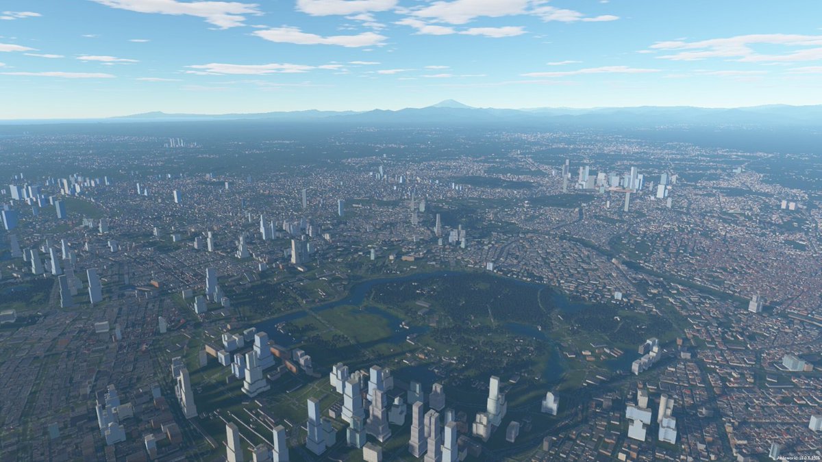
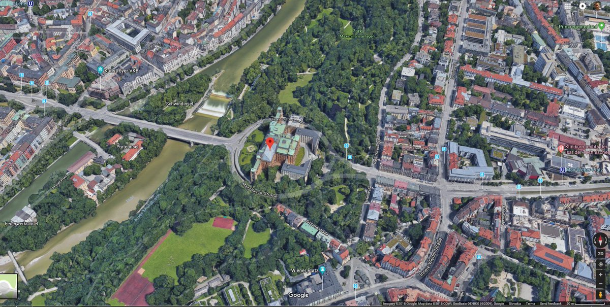
Now processing #Sentinel-2 10m satellite resolution imagery. Removing clouds, urban features and adding @openstreetmap vector data. More features to come soon!
@UnrealEngine@ESA_EO
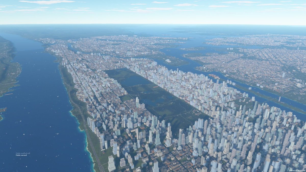
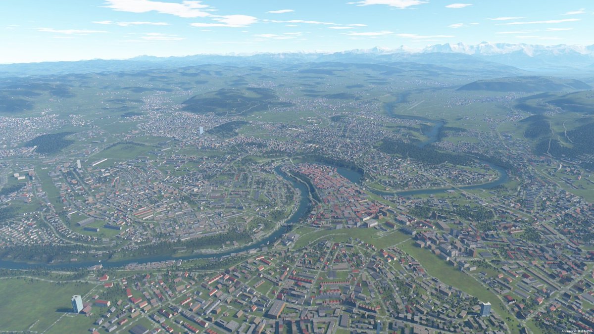
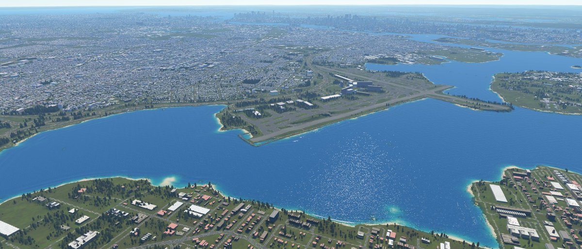
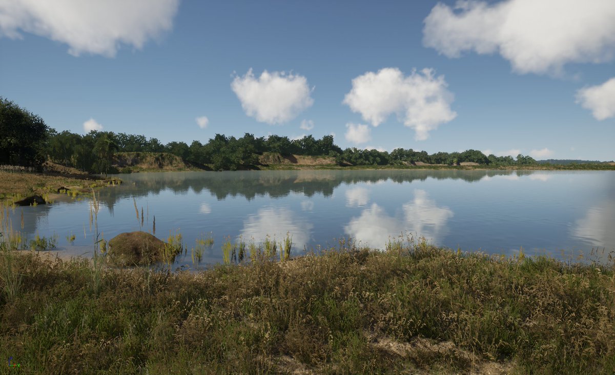
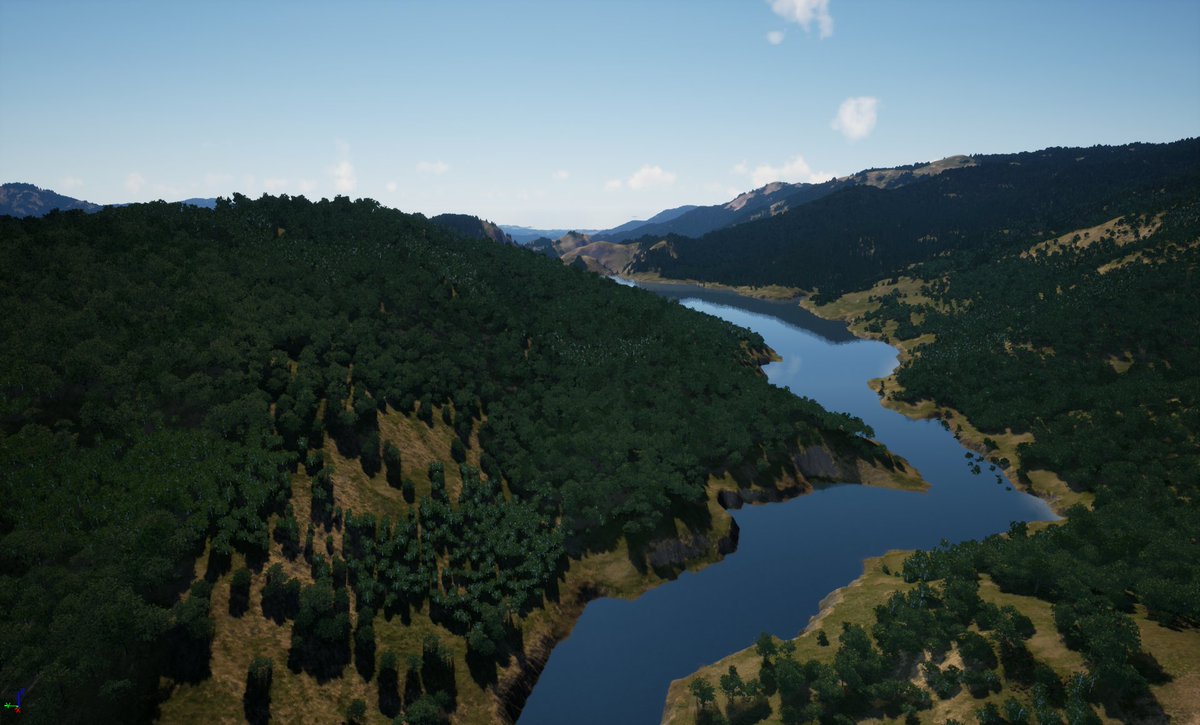
Anteworld tech demo 17.1.0
Global lakes, dams, support for lands below sea level, enhanced rivers, lightning & thunder, global road network and runways, experimental building data (villages), new vehicles and more
https://t.co/1OEpOECmd0
#outerra