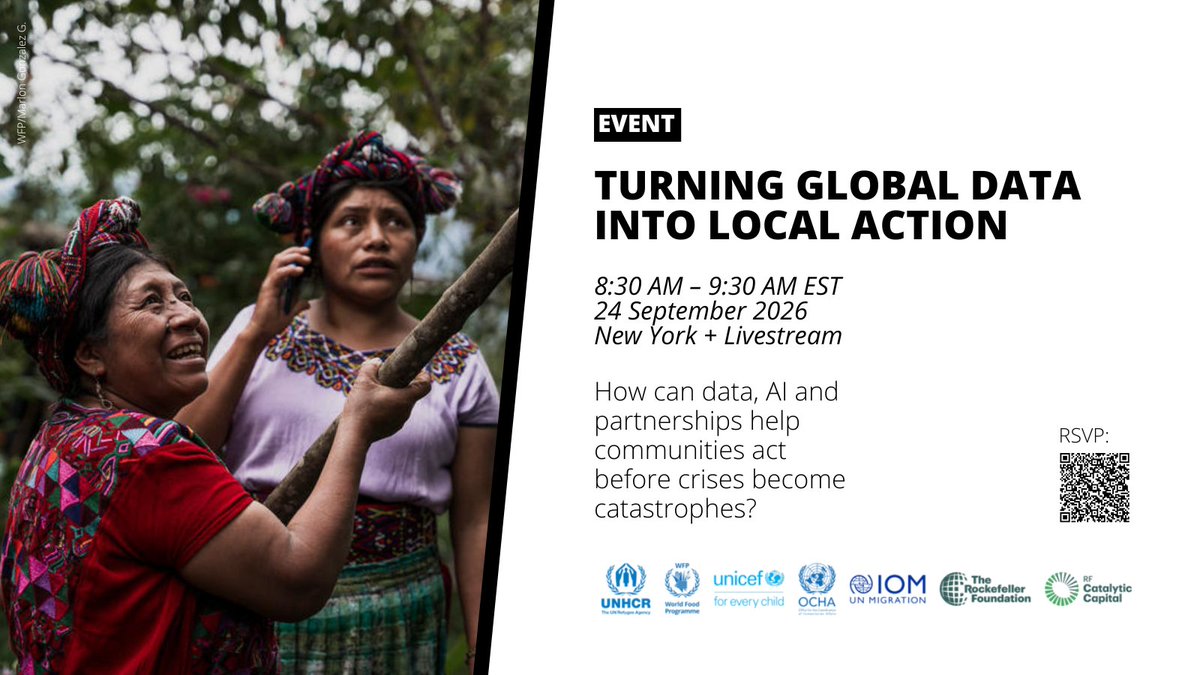
How can we improve how data is shared and used for humanitarian crises? Join us for a @RockefellerFdn hosted event on 24 September from 8:30-9:30am NY time. Hear from @UNOCHA and data partners @Refugees, @WFP, @UNICEF & @UNmigration on the latest progress. https://t.co/8KRdDAn1pg
⭐ Welcome to HDX, CTrees!
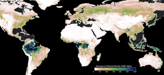
@CTrees_org now shares biomass data for over 20 countries on HDX. Using satellite imagery and AI, the data maps carbon stored in trees and vegetation and can be used to track deforestation and measure forest recovery.
Explore: https://t.co/ZyimDsgKIj
HDX has been redesigned to make data easier to find and understand. This is our first significant change to the platform’s visual identity since we launched twelve years ago. Thank you to @oblodesign for helping us imagine a new HDX experience!
https://t.co/fdz0QQJgfK
New @REACH_info damage assessment data for the #Nepal flash flood now available on HDX. The rapid damage assessment, using Sentinel-1 Radar, shows likely-damage across 16 municipalities to support geographic prioritization and field assessments.
https://t.co/qJAL3xwO8b
📣 @UNOCHA is looking for a Programme Management Officer to help manage @reliefweb and work closely with other platforms including the Humanitarian Data Exchange. The position is based in Nairobi, Kenya.
Learn more and apply by 29 September 2026:
https://t.co/18URsISTAA
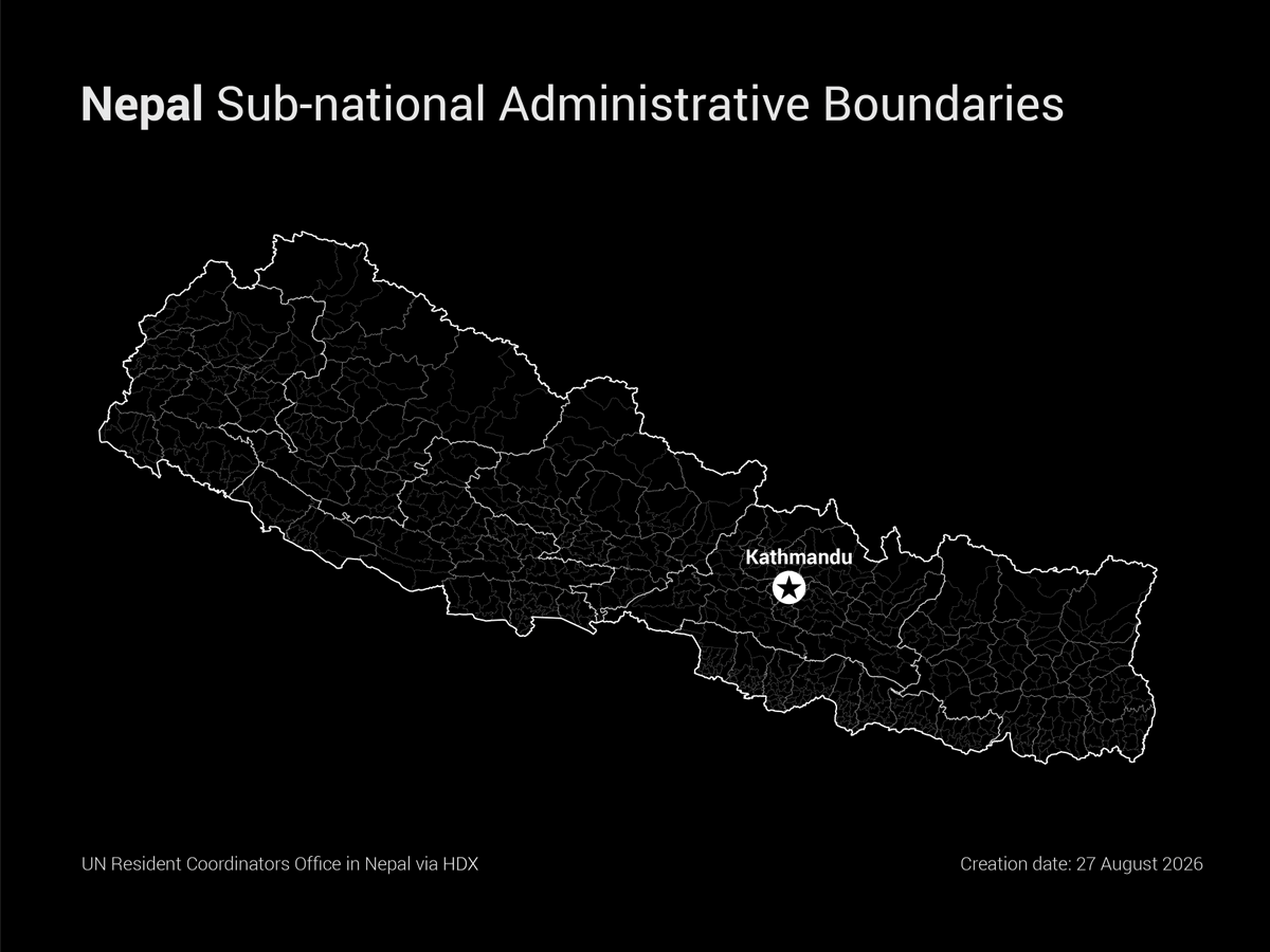
Severe flooding in #Nepal and #China caused widespread destruction on 26 August 2026 with reports of large numbers of people missing, according to the @UN.
Find Nepal sub-national administrative boundaries on HDX: https://t.co/7F1gJM5hSK
In the first half of 2026, @UNCERF allocated approx $182 million towards humanitarian crises, with some 43% of funding supporting displacement and migration in eight countries, from Haiti to South Sudan.
Download CERF #data, updated weekly, on HDX: https://t.co/1QSzKs8IcI
🗺️ NEW: Following the Venezuela earthquakes, we have created a damage exposure tool consolidating satellite-derived damage assessments from @CopernicusEMS, @hotosm, @MSFTResearch and others.
Explore the visual: https://t.co/md3ZRhis8v
⚠️NEW AI-powered damage assessment data from the AI for Good Lab at @MSFTResearch now available on HDX!
The assessments use satellite imagery from 26 June 2026 to map earthquake-affected buildings in Caraballeda, La Guaira & East Catia La Mar, Venezuela:
https://t.co/N8xXka9ehk
⚠️ We have created a Venezuela earthquake crisis page on HDX. The page brings together over 30 datasets from @UNOSAT, @MSFTResearch, @hotosm, @GIScienceHD, @UNOCHA and more. Sign up to get notified when new data is added.
https://t.co/L4jpbZmkKD
Following the Venezuela earthquakes, @hotosm and partners are mapping roads, buildings and key infrastructure in Caracas and La Guaira to support emergency response.
Explore the data on HDX and sign up to get notified when new data is added: https://t.co/k4yjKwu1Oc
The AI for Good Lab at @MSFTResearch now shares AI-powered damage assessment data on HDX, using satellite imagery from 25 June 2026 to map earthquake-affected buildings in Catia La Mar, Venezuela.
Explore the data: https://t.co/znQbbCtJ5G
⚠️Two powerful earthquakes struck #Venezuela’s northern coast on 24 June within minutes of each other. The first a 7.2 magnitude and the second 7.5 at a depth of 10km, according to @GDACS
Find Venezuela data on HDX, including sub-national admin boundaries https://t.co/3h2OpkoiHi
📚 Check out the new HDX Documentation site.
Find guidance, FAQs, technical documentation, and step-by-step instructions to help you get the most out of the HDX platform.
Explore: https://t.co/vOqGWcEXg9
⚠️ The Ebola Bundibugyo Virus Disease page on HDX brings together over 40 datasets for DR Congo and Uganda from HeiGIT, @ACLEDINFO, @hotosm, @WorldPopProject and more. Sign up to get notified when new data is added.
https://t.co/i0XIxMRnRC
⭐ HDX is now the CKAN Site of the Month!
The CKAN Ecosystem Catalog showcases hundreds of CKAN-powered sites from around the world, helping users discover open data platforms and connect with the wider CKAN community.
https://t.co/lN9WxVpSZb
⚠️ We have created an Ebola Bundibugyo Virus Disease page on HDX bringing together datasets for DR Congo and Uganda from @hotosm, @WorldPopProject, @flowminder, @UNOCHA and more. Sign up to get notified when new data is added.
https://t.co/i0XIxMRnRC
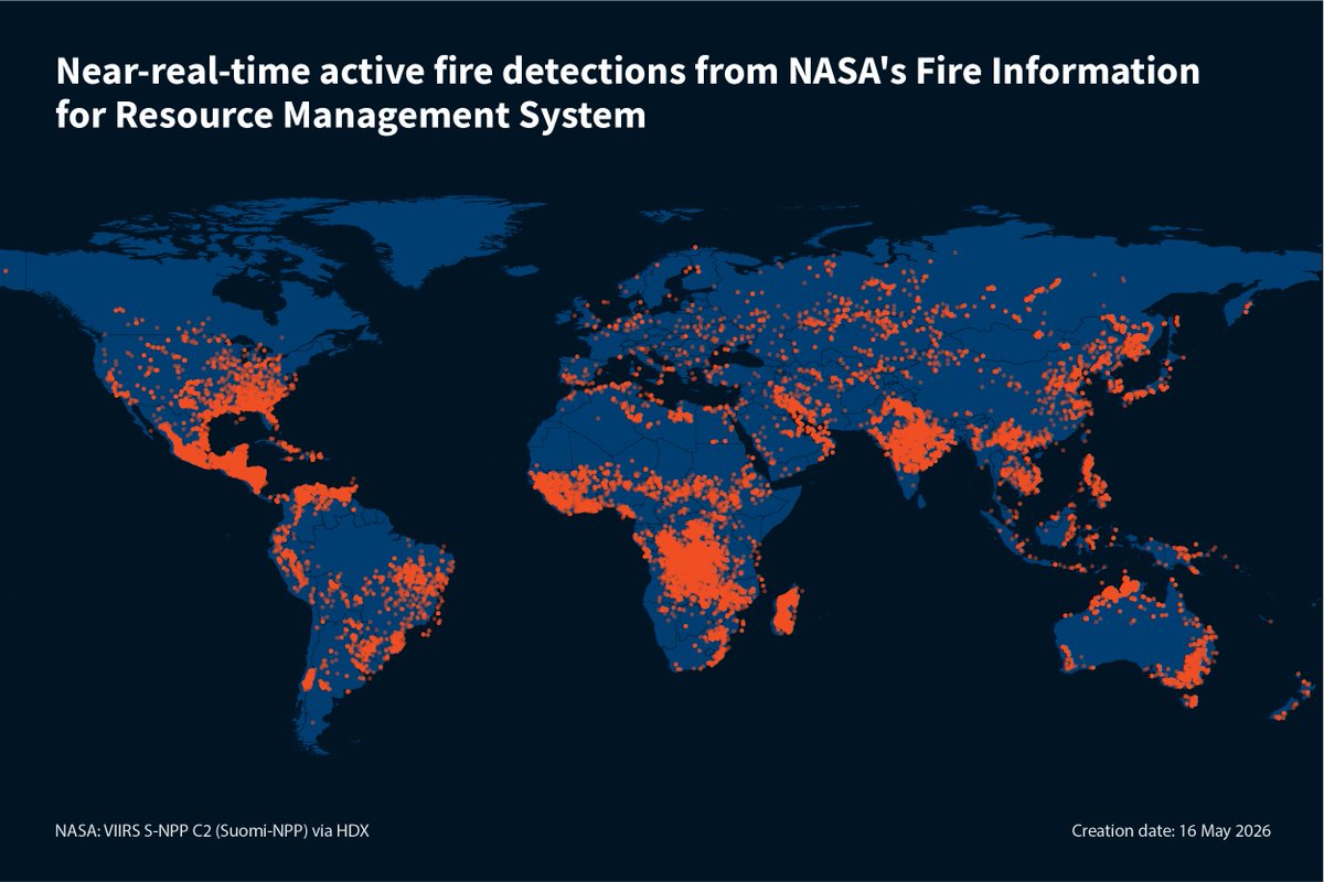
⭐ Welcome to HDX, @NASA Fire Information for Resource Management System!
NASA now shares near real-time active fire data for 196 locations on HDX. The data is available in shapefile, KML and CSV format within 3 hours of satellite observation.
Explore: https://t.co/djalMreLF9
Find the best Guinness prices in town!
Pints of Bangkok tracks the cost of a pint across the city—no reviews, just the numbers.
Check the link in our bio to see where your favorite pint ranks
#TimeOutBangkok#PintsofBangkok#Guinness
⭐ Global sub-national administrative boundaries for 110 countries and territories are available on HDX.
Aggregated from multiple sources by @UNOCHA, the data is available in three versions: edge-matched, original, and extended.
Download here: https://t.co/dTD57yaZr3