We have added pot ‘Places worth cycling to!’ map to our website
It’s a map that brings together where the best cycling infrastructure exists in London with where the best places to pop into, visit or sightsee are. Great for days out, picnics, BBQ’s
🚲🗺
https://t.co/YPHRAe0TEL
As ever:
🟢 comfortable cycling links
🟠 Links with some positives but also some negatives
🔴 Very uncomfortable cycling links - use only when really required for linking to key areas
Finally got the Google Map Layer back up and running
Please let me know it's all working ok for you. Any change suggestions welcome
Sorry it's taken a while to sort!
https://t.co/ICa4WGHmbN
@HackneyMuslims@J_M_Errington This a layer that says your maps in the Google Maps app.
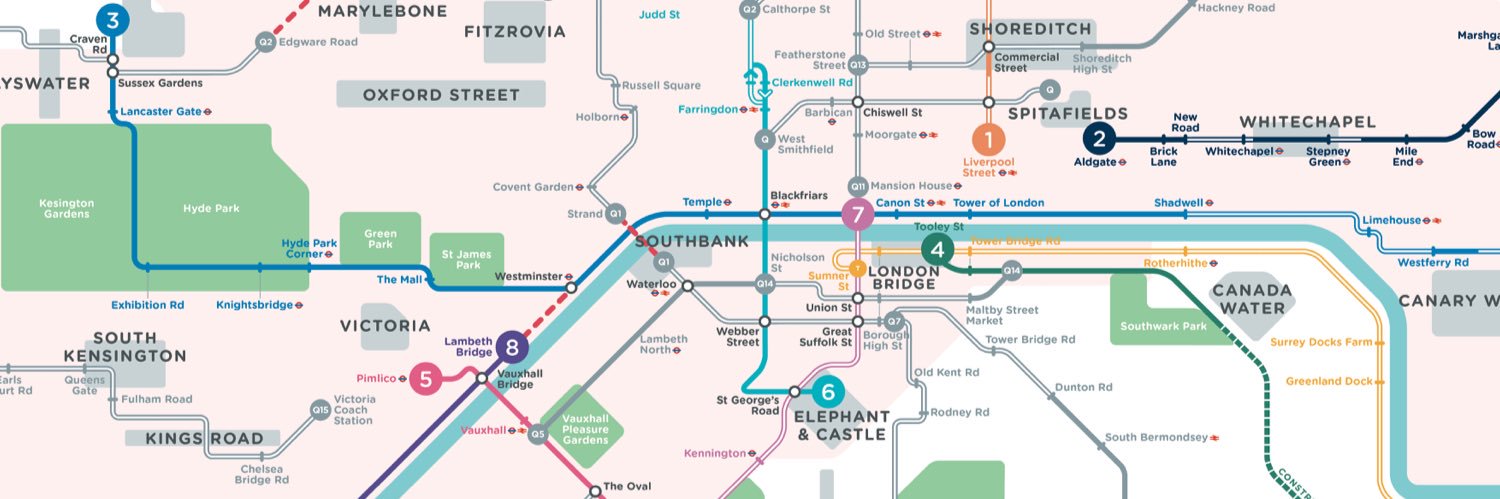
RoutePlanRoll - 2022 London Cycling Comfort Guide https://t.co/8F8rWAH1ys
Some high level alternatives shown here.
Reminder of up to date 2022 cycle map for London available here with key cycling routes colour coded -
Green 🟢 very comfortable to cycle
Orange 🟠mixed quality
Red 🔴very uncomfortable to cycle, caution
RoutePlanRoll - 2022 London Cycling Comfort Guide https://t.co/pI4qcoZVGS
@RantyHighwayman @JackThomasE4 Thanks @RantyHighwayman , we tried our best on outer London boroughs but 1. they’re often geographically very big, 2. they have endless complicated rules on where to cycle and 3. most had a habit post Covid of putting scheme in to then rip it out so hard to justify effort to map
@prasanna_r0@CWinchcombe@CorkCyclingCrew Love what you’ve done. It’s an excellent way to take it to next iteration. It’s key to get quality in so people can trust the route. Be great if council would help by signposting routes on the ground. Really hope you get picked up for more work on this.
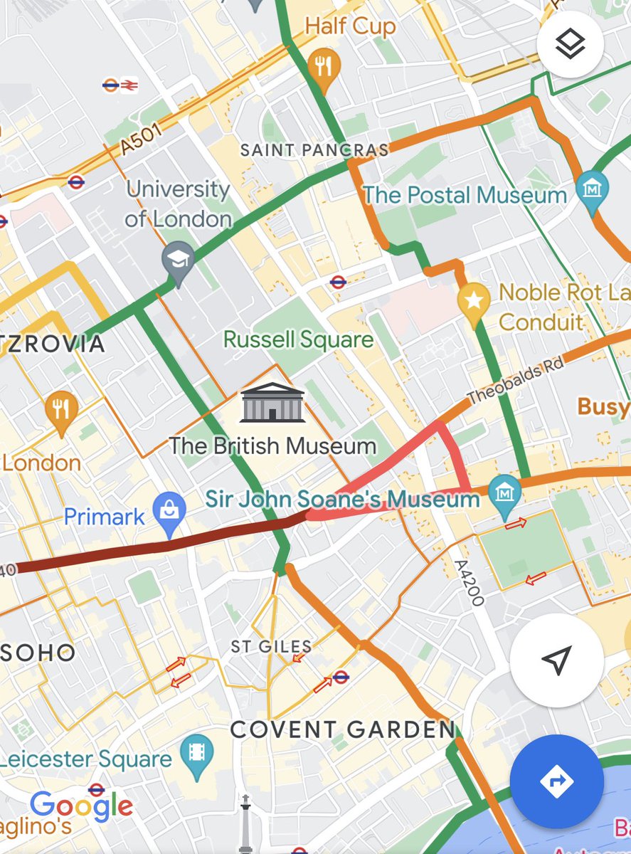
@IsSaddleThereIs@thenewlove To be frank can’t quite remember but core points:
- it’s on Google Map layer but want to keep schematic compact. Stretching map out too far loses central area perspective
- outer areas can be very flaky, and just sparse. Some links just lose meaning further you go out.
Speed limiters in motor vehicles based on the speed limit for the road will be launched on all new vehicle types in the EU, from 2022
https://t.co/BdLR2dWISI
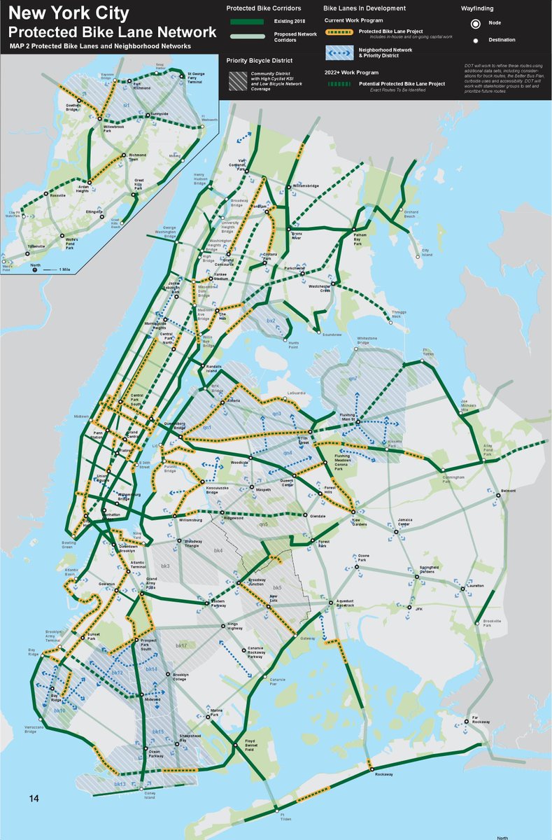
The @NYC_DOT's proposed bike corridor map could make a much better argument for integrated cycling infrastructure if it labeled and numbered each route as if it was a bus or subway line. A few simple tweaks could go a long way in capturing the public's imagination!