Another year, another #map of the #World. Apart from being it a time consuming #challenge, it is absolutely rewarding to see the result! So once again thanks @eox_a for having me on board for this, @CopernicusEU for the data and #you for sticking around! https://t.co/F5uEItASX1
The wait is over! We have finally released the #2019 Sentinel-2 cloudless update at https://t.co/0wGu5wDv6m! Even more colorful and #cloudlesser than ever before! Let us brighten your #day with endless #sunshine! Based on @CopernicusEU#Sentinel2 data.
Introducing the NASA Earthdata Plugin for QGIS!
NASA’s Earthdata archive hosts over 120 petabytes of satellite imagery and geospatial datasets, but accessing it has often required navigating complex web portals or writing code.
This new QGIS plugin changes that.
With the NASA Earthdata plugin, you can search, filter, preview, and download NASA datasets directly inside QGIS, no programming needed. It’s designed for anyone who wants fast, seamless access to NASA data within their existing GIS workflow.
Plugin page: https://t.co/tCjogQ74O7
GitHub: https://t.co/YGSDfHmnkB
Step-by-step video tutorial: https://t.co/Sb53N8g9Ra
#QGIS #NASA #satelliteimagery #opensource
And there it goes!
After separating from @SpaceX’s Falcon 9 rocket, @CopernicusEU Sentinel-6B is now flying solo under the care of @esaoperations.
We’re waiting to receive its first signal📡
📸Credits: @SpaceX / @NASA
Compare the water levels: on November 2, 2024, it was much higher, but by November 9, 2025, it has dropped significantly.
I watched a video from two days ago at Amir Kabir Dam where a traveler shows the water is now so shallow that he can actually walk through it.
📢 TODAY! First session of the @NASAEarth#ARSET training on Spaceborne Lidar for Monitoring Vegetation Structure and Biomass using #GEDI
🛰️English session: 11am-1pm EDT
🛰️Spanish session: 2-4pm EDT
https://t.co/8aeFNRvqdA
🌪️ Windy Wednesday 🌪️
With papers still rolling out from the incredible Aeolus campaigns in Cape Verde, let's take a step back with this classic.
Why do we care about dust? And not the stuff you see people dramatically blowing off old library books..
👉https://t.co/FKC8IXHP9j
La Niña: Cooler waters from ocean depths reach to central Pacific Ocean surface, as strong winds blow warm surface waters away from South America.
@NASA WorldView:
▶️ https://t.co/1kvIdmHxs9
Introducing the easy way to work with climate data!
Our Jupyter Lab workspace provides direct access to the ESA Climate Change Initiative Toolbox – a comprehensive Python-based climate data analysis tool. Without local installation you can manipulate and visualise data, write your own code or install new packages.
Simply register with a GitHub account or with your email – for free! https://t.co/z6u64kTyKx
🚨 New Tutorial Alert 🚨
Rendering Google Earth Engine & Cloud-Optimized GeoTIFF Tiles in 3D with Google Earth
In this tutorial, I demonstrate how to visualize Google Earth Engine tile layers and Cloud Optimized GeoTIFFs (COGs) directly in Google Earth’s 3D environment. This approach lets you bring together high-resolution historical imagery and Street View data into one powerful platform.
It’s a simple but effective way to make your geospatial data more accessible—just like sharing a Google Doc link.
🔗 Notebook: https://t.co/tsIktkpLqz
▶️ Video: https://t.co/Mjbl2z8RrD
#geospatial #googleearth #dataviz #earthengine
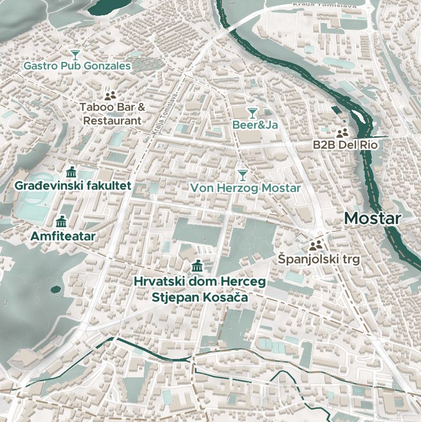
We're really excited to be @foss4ge all week, witnessing all the #OpenSource goodness! Come see us at the B2B event tomorrow night or visit our stand throughout the main event.
#FOSS4G#FOSS4GEurope#foss4ge2025
Exciting Aeolus news!
The Aeolus mission has released its full dataset in Baseline 16, encompassing operations from 01 September 2018 to 30 March 2023.
This update significantly enhances the quality of L1B, L2A, and L2B products.
🔗https://t.co/NIJWyXIAR0
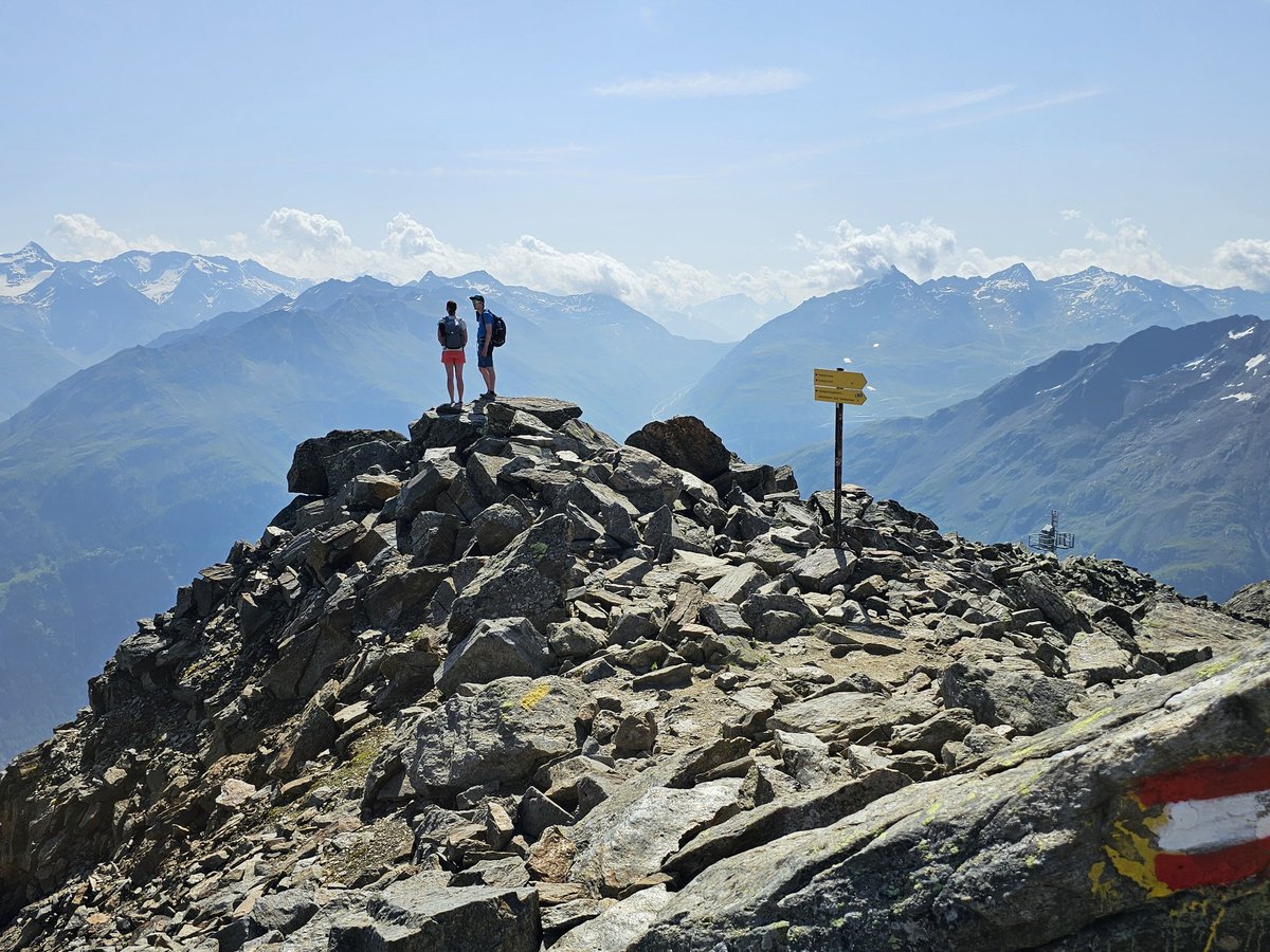
Impressive lack of snow at high altitude in the Alps compared with last year! 🔥❄️
The summit of #Gaislachkogel (3020m, Sölden #ÖtztalAlps) exactly one year ago (left) and yesterday! 😲
Pic by @wetterkoess 🙏
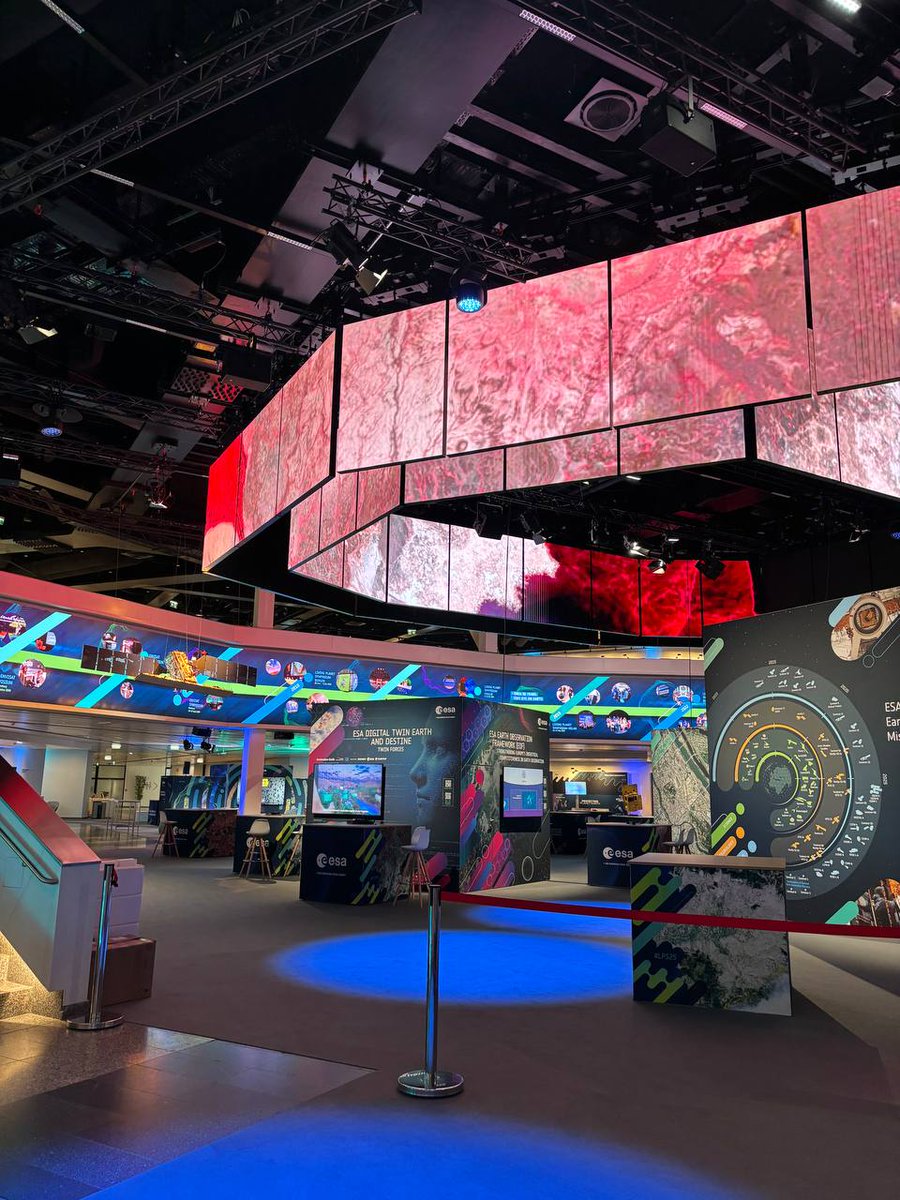
Join us today from 10:30 as we kickstart the 2025 edition of @esa's Living Planet Symposium!
Live on https://t.co/4FgNeUjpZh.
The opening ceremony will include the unveiling of the first images from our forest mission, Biomass: https://t.co/cX9fTDLKhR #LPS25
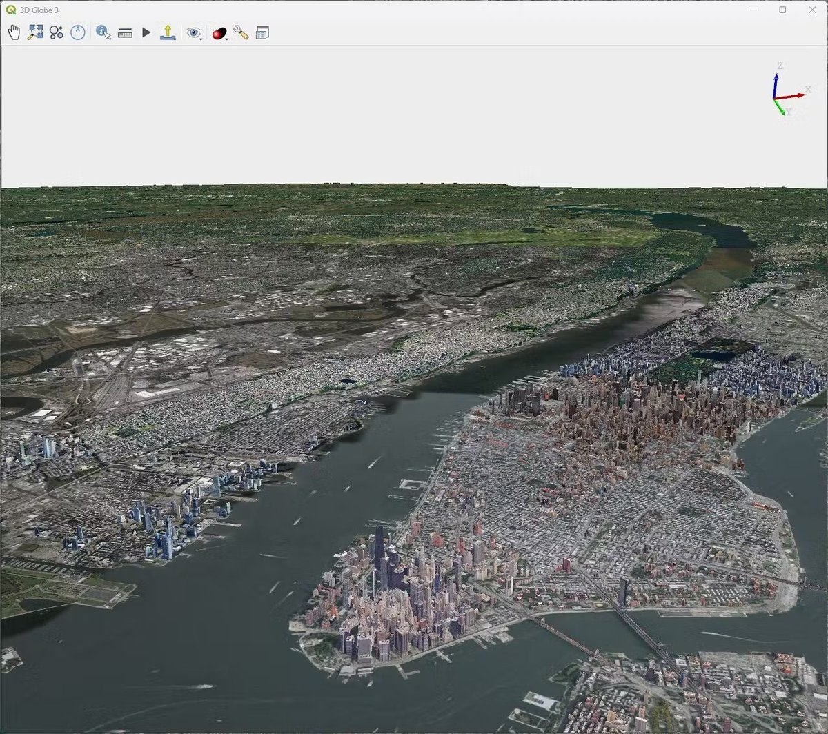
A geospatially accurate 3D Globe is now available in QGIS as part of the QGIS 3.44 stable release.
This work is the result of a Cesium Ecosystem Grant supporting the partnership of @lutraconsulting and @northroadgeo.
Learn more and get started: https://t.co/Mi6CKfoM6Q
One of the coolest demos at the QGIS Conference 2025 was an exhibit titled "Visual City" where many spatial data layers were projected onto a 3D-printed model of the city of Norrköping.
Would you like your very own A380? (I mean, who wouldn't?!) On this #NationalPaperAirplaneDay -- print, trim and fold and you've got it! (Albeit a tad smaller than the real thing) 📰✈️✂️
You have until 30 May to register to @esa's Living Planet Symposium!
Reasons not to miss #LPS25:
- one of the biggest EO conferences
- a networking opportunity
- sessions on key EO topics every day
- a train discount to travel to Vienna
- childcare for children aged 3 to 12 on site.
All details and registration here: https://t.co/mmnwLyLrjI