Write a book, l mean a book on natural resources management in SSA countries particular focus to Tanzania. It will be useful yet controversial to young and upcoming scientists! Then? sign off...that is a MISSION.
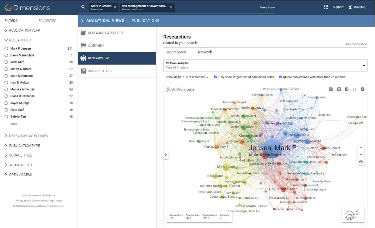
Dimensions is an AI-powered tool designed to make your literature review faster and easier.
It gives you AI-generated summaries of research papers — even those that are paywalled.
It also lets you create graphs of citation networks.
You can use Dimensions for free!
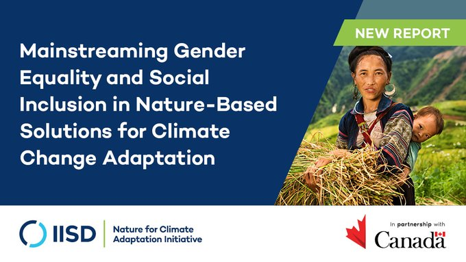
Nature-based Solutions are a powerful way to tackle global challenges like #climate change and biodiversity loss.
Improve the effectiveness, sustainability and adaptability of projects with the IUCN Global Standard for #NaturebasedSolutions.
https://t.co/6HlGQLEBXg
#UNEA6
I am happy to launch my course "Google #EarthEngine for Water Resources Management" covering real-world applications of #GEE. For the first time - we are also releasing videos along with code for all the modules - completely free. Get started at https://t.co/8YrpqHMA7m (1/n)
Explore Python for Earth Observation with this free ebook: 'Earth Observation Using Python - A Practical Guide'. Learn to create impactful visualizations from satellite data sets.
Log in to your AGU member profile: https://t.co/YFqTNGNrhk
AI just killed Web Development.
No more wasting months on design and development.
No more wasting 1000s of dollars on creating a new app.
Here's how you can create a complete app with Softr AI in minutes:
DiverSCIfy aims to support scientists from developing countries to publish scientific articles in English journals.
If you study conservation or ecology, we will pay an editor to prereview your manuscript at no cost to you.
More information here
https://t.co/ZRiXtVYuBm
#remotesensing#books
MDPI Books
📚 Title: Remote Sensing for Land Administration 2.0
🔗Download here: https://t.co/CCZHvsMOUW
✒Edited by Mila Koeva, Rohan Bennett and Claudio Persello
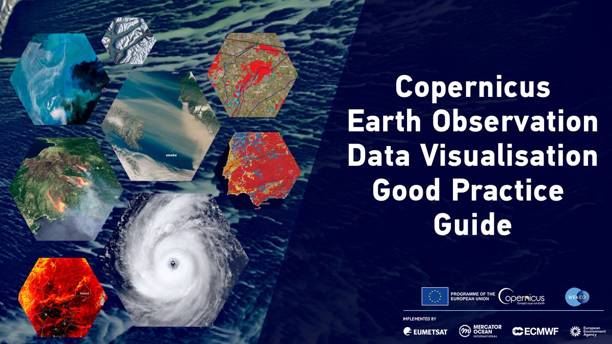
#DYK that Earth observation data visualisation is a powerful storytelling tool❓
We've crafted a guide featuring tips & tricks on using & creating #EODataViz🇪🇺 with #Copernicus & EUMETSAT #OpenData🛰️
Share your visualisations with us using #EODataViz!
🔗 https://t.co/dnmSLwXHaM
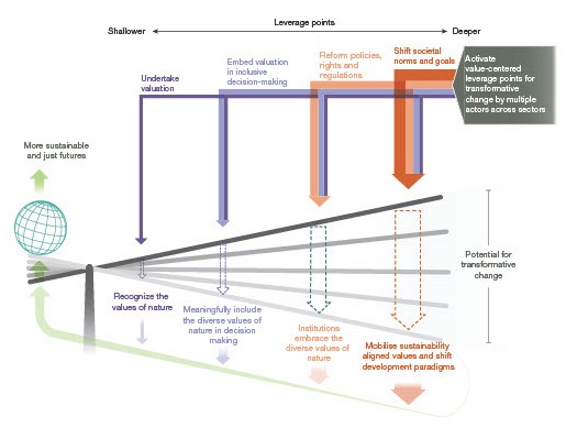
🧵Explore "Leveraging Nature's Values for Transformative Change," a new special issue on @IPBES 's #ValuesAssessment led by @ikerbasque Prof. at BC3 Unai Pascual (@unaipasku), Patricia Balvanera (@BalvaneraPatty) & Michael Christie (@MikeChristieUni).
📊https://t.co/XzP0FQArDU
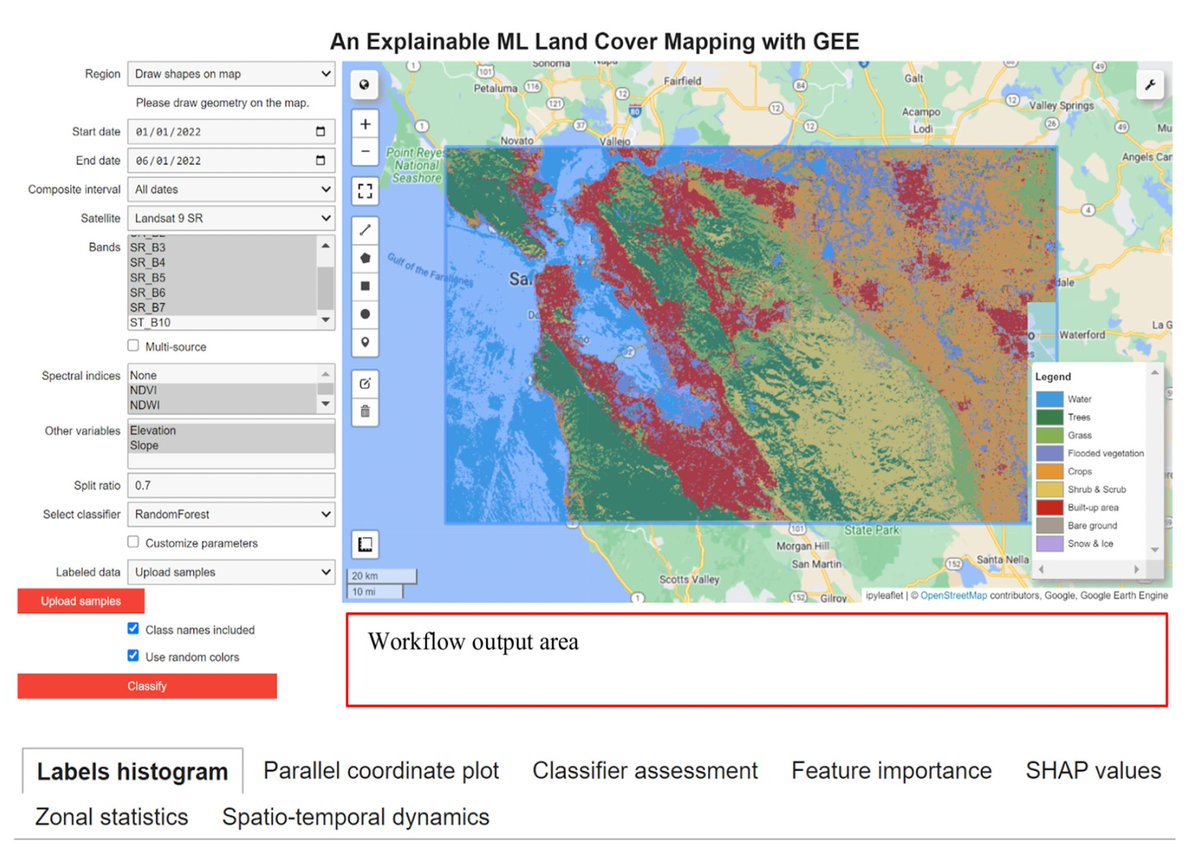
GeoAIR lab led paper "Enhancing Land Cover Mapping and Monitoring: An Interactive and Explainable Machine Learning Approach Using Google Earth Engine" is published https://t.co/Od2BXSmuXC…; accompanying code is available https://t.co/nWPwhucx0b….
@giswqs#GEE#AI#XAI#LULC
🌎 ❌ We are crossing more and more planetary boundaries.
Today, six boundaries are crossed. Two more are closing in on transgression.
Decisive policy action can change this as we have shown with the recovery of the ozone layer.
Read more: https://t.co/5NXw2XOxjE
Just published:
Y. Wang et al.
Consequences of Microplastics on Global Ecosystem Structure and Function
#microplastic#plasticpollution
https://t.co/1jwaQAoFA2
“We find a nonlinear relationship between knowledge & confidence, with overconfidence peaking at intermediate levels of scientific knowledge”
#Reviewer2 https://t.co/fcZyrOBVqr