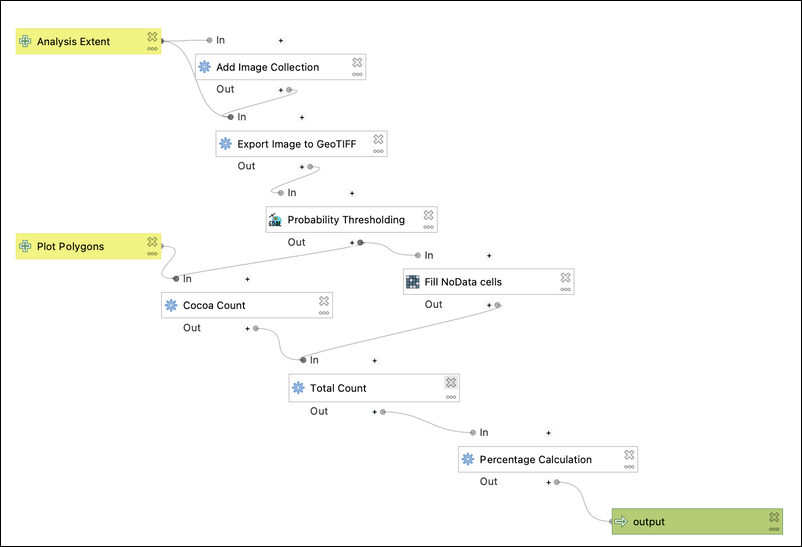
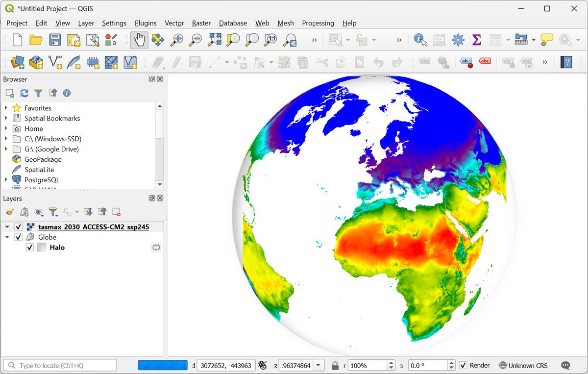
Exciting news for #QGIS users! The "Google Earth Engine Plugin for QGIS" is now updated with new no-code tools that allow you to download and use #EarthEngine datasets in QGIS easily. Check out my newly contributed tutorials for the latest plugin (1/n) 👇
The footage of surface rupture has been geolocated at 20.88206, 96.03527 northwest of Thazi town.
Check out this map of shaking footage I compiled with @liliandesisto 👇👇
https://t.co/Te5KfQjsJ0
Likely surface rupture of the 2025 M7.7 Myanmar earthquake caught on cam! The shift of the ground to the right is so striking!
Source: https://t.co/Os0AOVt1eP
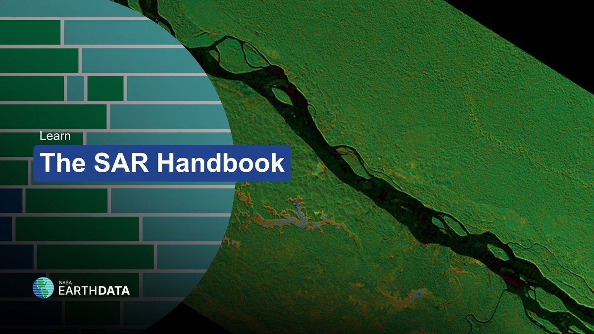
Looking for a hands-on introduction to synthetic aperture radar (SAR) data? If so, check out The SAR Handbook, now available on the Earthdata website at https://t.co/AL2MgUaOli
First attempts at an indentor/escape sandbox model setup. I always wondered how this might work. Coulombic aspects apply, so blocks aren’t driven outwards until enough wedge builds up, a major difference from a metal/plasticine setup. The internally undeformed blocks are cool.
In a recent paper in Nature Communications, Dr. Társilo Girona and Dr. Kyriaki Drymoni claim that their machine learning algorithm can predict upcoming large earthquakes.
We tested the method, and found that it does not work.
Read more on our blog; link in my bio.
Iran's #LakeUrmia was once considered the largest lake in the Middle East. Over the last few decades, it has experienced declines in its surface area. #Landsat has captured the effects of drought, water overuse, and weather events. https://t.co/eNgKw89JBT #WorldWaterMonitoringDay
This is an urgent and important call to action for fundamental geoscience research to inform disaster risk intervention measures across central Asia.
@RichardThomasW
https://t.co/yrHDMXyQcS
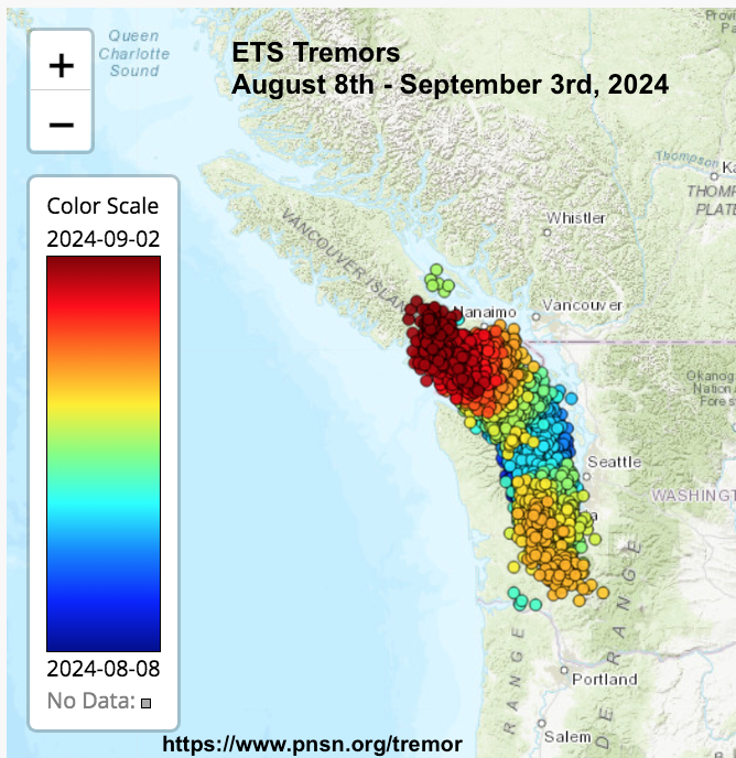
Episodic Tremor and Slip (ETS) continues on southern #VancouverIsland.
Nearly 11,000 tiny tremors (not #earthquakes, not felt) have occurred between August 8 (blue) and September 3rd (red).
This is a normal event, occurring every 12-16 months.
What is ETS?
https://t.co/OX1n8qvHRd
Water and debris from the Chilcotin River landslide has now reached the Fraser River.
This video from early this afternoon shows why we remain on alert and people must keep off the river.
#bcpoli@BowinnMa
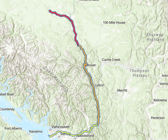
The #BC River Forecast Centre is UPGRADING to a Flood WARNING for the Fraser River from Chilcotin River confluence to Big Bar.
The following Flood Advisories remain MAINTAINED:
- A Flood WARNING for Chilcotin River from Hanceville to confluence with Fraser River, &
- Flood WATCH for Fraser River from Big Bar downstream to #HopeBC
More info & map: https://t.co/g9UG63BYFG #BCFlood
🚨EMERGENCY UPDATE🚨
Chilcotin River expected to break through the landslide in the next 24-48 hours, causing flash flooding downstream.
🚨Please heed all warnings from @EmergencyInfoBC and @CaribooRD to stay safe and up to date.