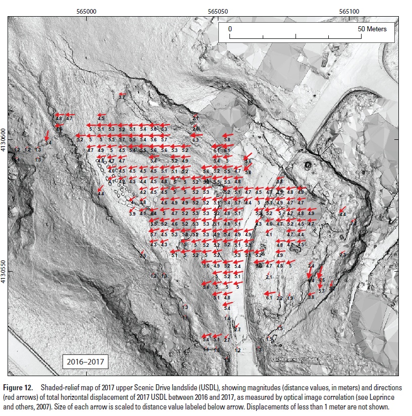
The Governor of CA declared a state of emergency on Sept 3rd due to quickening landslides in Rancho Palos Verdes near LA. Topographic differencing with @NOAADigCoast#lidar in OT shows Earth’s surface change from 2010-2014. The red and blue areas highlight persistent landslides.
🌟 Excited to share our latest work on PBRs! Grateful for the amazing collaboration. Check out this brief video for an overview of our project 📹: [https://t.co/QSREtNKuvM] #Research#Collaboration#PBRs
Summer 2024 student data science #internship with OpenTopography. Work with the OT team for 11 weeks (paid!) to ingest & process #lidar topographic data, & develop workflows and services. Via the @EarthScope_sci internship program. Due Feb 15th. More info: https://t.co/P0HTRuNpIQ
Happy to announce that you can now use OpenTopography tools to compute topographic change on overlapping datasets in the USGS #3DEP & NOAA Coastal Lidar collections. Dynamically compute landscape change for ~20% of CONUS w/ publicly available #lidar in OT: https://t.co/IyAVmdWCEN
New OT blog post: "Topographic Change w/ 3D Prints". 3D prints provide a tactile way to explore the Earth’s surface & learn about the geologic processes that shape it. We created 3D prints of pre- & post-event topography from the 2014 Oso, WA landslide: https://t.co/ApwyoIC5VE
New study: students use OT to evaluate how well geomorphology-based fault mapping predicted #earthquake surface rupture. For seven past earthquakes, students compared their mapping on pre-event #lidar & imagery with documented ground rupture. Learn more: https://t.co/CuQhjhezJd
3D print of Meteor Crater, AZ #lidar by the Dept. of Physical Sciences at @ScottsdaleCC. This model was made using the ready-to-print STL files available from the OT OpenLandform Catalog: https://t.co/20IxXXxlTK Learn more about 3D printing of topography: https://t.co/LkB3IeWWs4
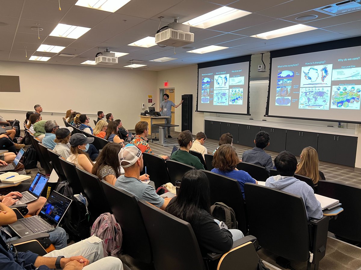
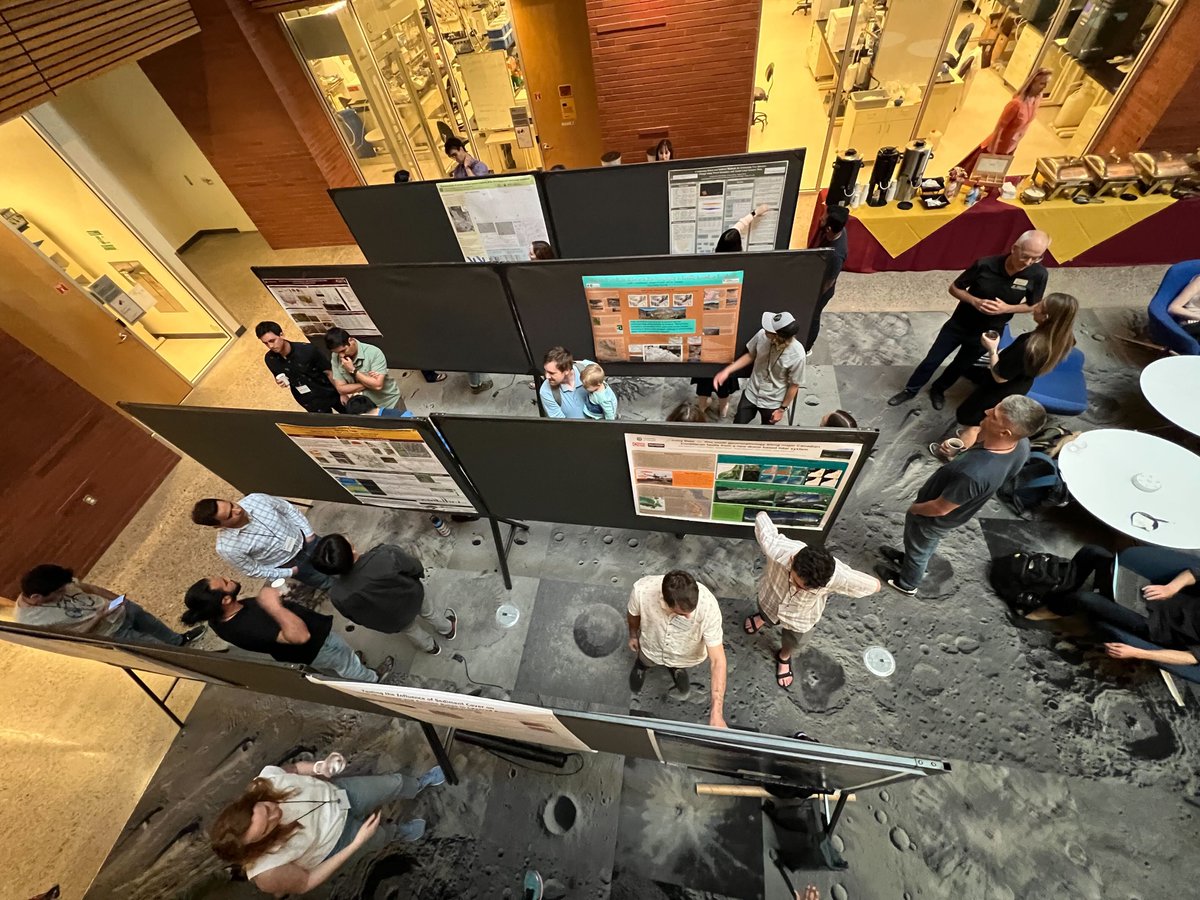
Great NSF @EarthCube “Advancing the Analysis of High Resolution Topography (HRT)” workshop last week. ~55 folks received training in HRT processing & analysis with @pointcloudpipe, lidR, @landlabtoolkit. Thx to @NCALM_UH, @CSDMS, our hosts at @SESEASU: https://t.co/sODXMdHhO9
Nature Reviews Earth & Environment (@NatRevEarthEnv) Tools of the Trade highlight by OT Advisory Committee member @_absrp: "Decoding earthquake mechanics with repeat pass airborne #lidar": https://t.co/rxpaCmbLtn Many of the repeat lidar datasets highlighted are available via OT.
Pre-print alert! 👋Introducing a probabilistic displacement hazard assessment framework for distributed ruptures from strike-slip earthquakes on immature faults. We are VERY interested in community feedback, @mikeoskin and I are pretty new to PFDHA! https://t.co/Jf2iQGkASE
Job Alert!
If you are interested in a postdoc position focused on the use of optical imagery to study plate boundaries with
@USGS_Quakes@NASAJPL@SESEASU
contact research advisors and discuss a proposal: https://t.co/E3BO8HqaMe
#earthquake#usgs#tectonics
I am recruiting a #paid#intern to work on @opentopography this summer. The intern will apply Machine Learning to #lidar#topography and topographic change results to characterize geologic and geomorphic features. Due March 1 https://t.co/lMEOEbqZRD
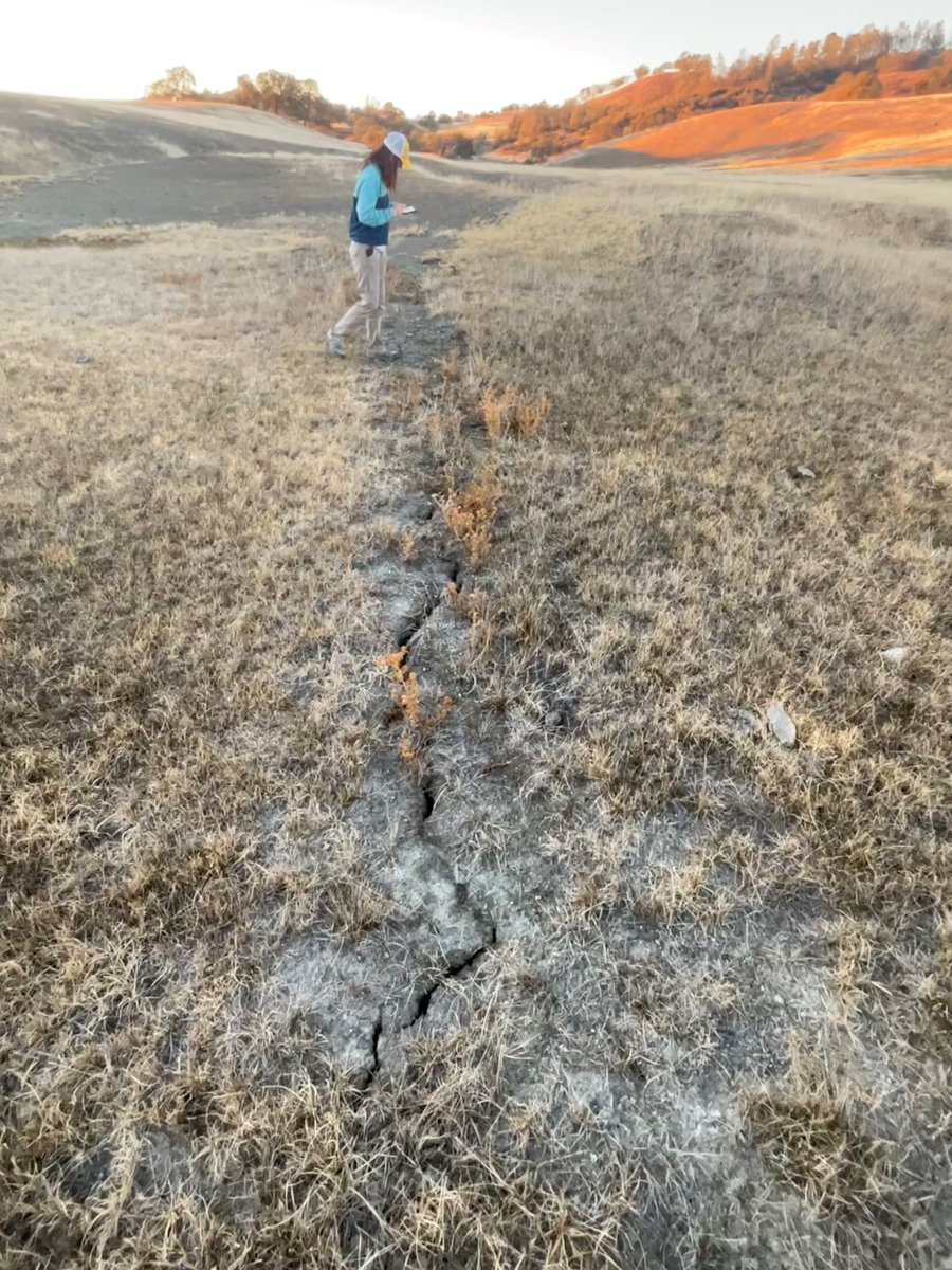
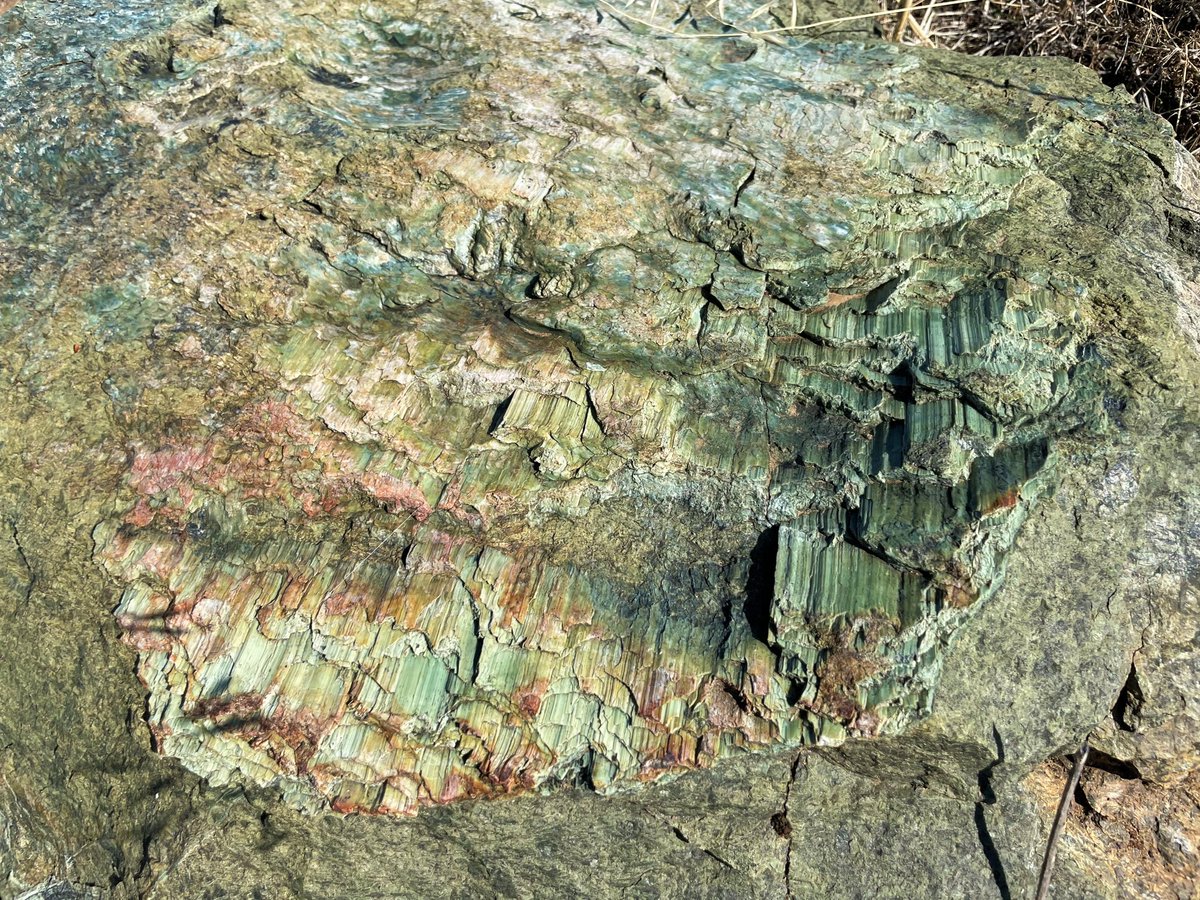
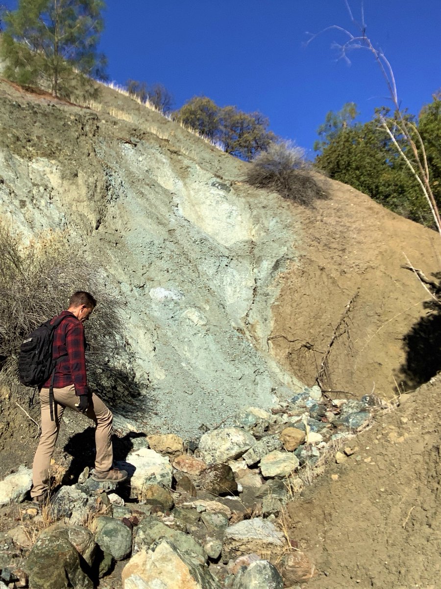
.@USGS_Quakes & @SESEASU are mapping the creeping #SanAndreasfault through rugged ranchlands in central CA. The fault is expressed as sharp rock type and color contrasts in canyons, aligned cracks in parched soil, elongate ridges, and beautiful sheared and striated minerals.
New publication by OpenTopography team member @its_sedimentary et al: "Exploring #TikTok as a promising platform for geoscience communication" (https://t.co/e1svzk1r8f). Paper summarizes experiences using the Terra Explore channel as a platform for geoscience communications.
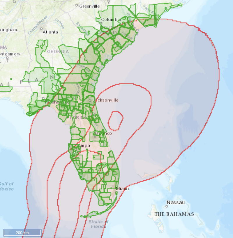
USGS #3DEP#lidar covering areas impacted by #Hurricanelan are now available from OpenTopography. For #Ian we've temporarily lifted restrictions on access to 3DEP. 131K sq mi (3.4 trillion lidar pts) are open for hurricane response, recovery & rebuilding: https://t.co/edA6KCtBlX
@OpenTopography@geophys_xtian LibICP is actually C++ code. I have not found ICP code in python that works well for these Earth Science applications. See our full discussion on ICP algorithms in that linked paper.