Update: Shaking has been felt across much of Florida in the aftermath of the 6.1 magnitude quake just west of Cuba.
*NO* tsunami threat is expected from the earthquake.
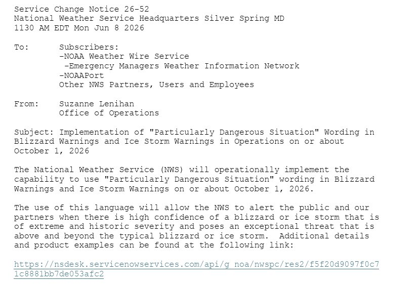
The National Weather Service will implement "Particularly Dangerous Situation" wording in Blizzard Warnings and Ice Storm Warnings beginning October 1, 2026.
#wxtwitter
Just heard that this was from an elderly lady being injured due to a tree falling, I believe it fell onto their house. Damage is pretty bad in Sea Cliff, NY. Me and @VincentWX_1 observed 65mph+ gusts on a handheld anemometer. @NWSNewYorkNY#nywx#liwx
Strong winds all across #NYC with this line of storms: #Queens has had the strongest winds, with 64mph at LGA, and 65 at QUEE and 60 at JFK (both right after this map was made). Unfortunately, Queens has more above-ground electric infrastructure, so outages afe spiking. #nycwx
Heavy rain and thunderstorms may hit New York City this afternoon and continue into tonight.
Here's what we're doing to prepare:
@NYCEM is coordinating citywide response efforts and closely monitoring conditions with @NWS.
@NYCWater, @NYC_DOT, and @NYCSanitation are clearing catch basins across the city, with extra attention to flood-prone neighborhoods like Hollis.
@NYC_Buildings has issued a severe weather advisory and is reminding property owners and builders to secure their sites.
@NYPDnews tow trucks are on standby to assist stranded motorists.
@NYCParks forestry crews are ready to respond to reports of downed trees.
@NYCHRO stands ready to help communities recover if needed.
Here's what New Yorkers can do:
Sign up for emergency alerts by texting NOTIFYNYC to 692-692.
Use caution if you're traveling.
If flooding occurs, move to higher ground immediately.
Check on your neighbors, especially seniors and those who may need extra support.
Our city is strongest when we look out for one another. Stay safe, stay informed, and take care of each other.
Elevated threat of *DAMAGING WINDS* detected for Wednesday, June 10th, 2026.
See attached map for details.
This forecast initialized on Friday night. Follow for future forecast updates.
Euro AI talks, I listen.
Last couple model runs in a row have now consistently shown an attempt at organized tropical development in the Gulf the week of June 15th.
If this does become closer to a reality, one factor will likely be although less, still persistent wind shear which would cause a lobsided potential system with rain weighted to its east side than west side.
If this signal is still there after this weekend, then I'll see it more of a reality at potential #Arthur.
Until then, we watch data and carry on.
.@nycemergencymgt NYers are encouraged to prepare for potential heavy rain impacting NYC on 6/6-6/7. During periods of heavy rain causing flooding, move to higher ground. If in a basement, move to a higher floor. If you must travel, use caution. More info: https://t.co/4Iwr57T0cl