🎉 The recording of the first session of our Open Science Workshop series is now live!
📺 Watch it on YouTube: https://t.co/dkIwADlu6H
🔍 Don’t miss our next workshop on Open Data happening March 24! Stay updated here: https://t.co/bIfXaNFjyj
#opencescience#coding#python #jupyter
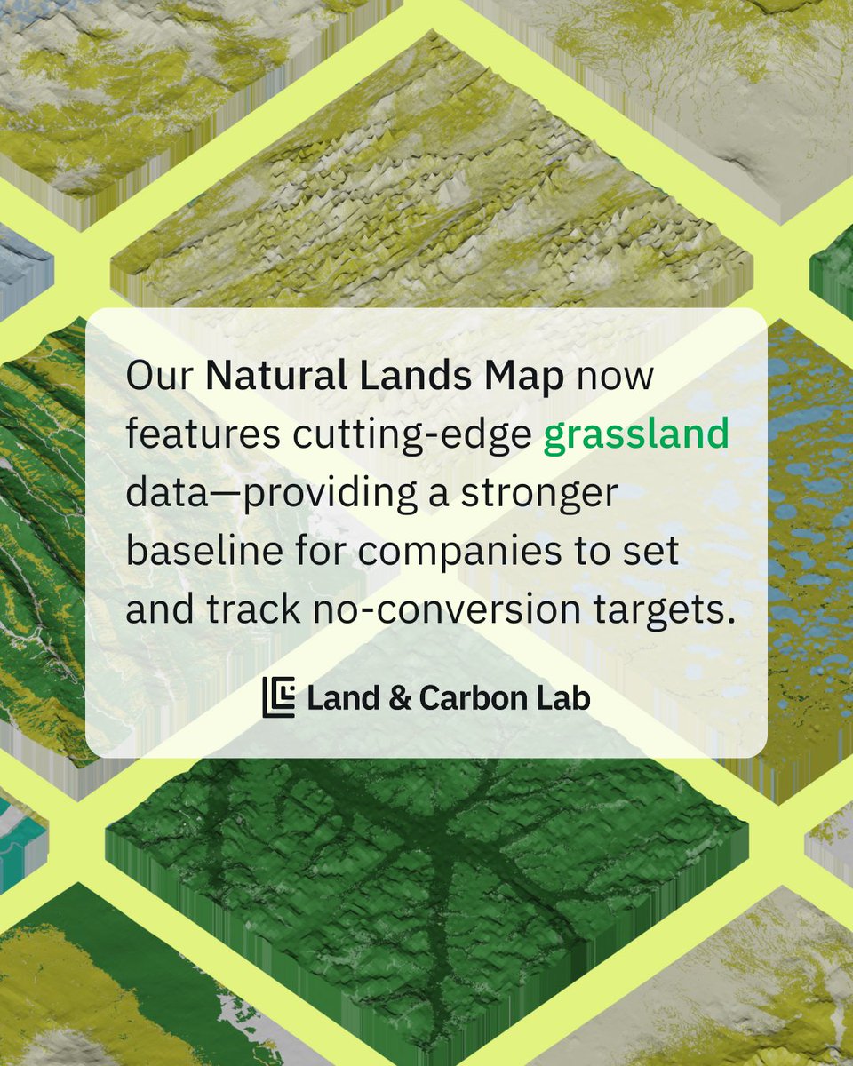
🚨 UPDATE: Version 1.1 of the Natural Lands Map now includes cutting-edge grassland data, filling a critical gap in how companies track their impact.
➡️ Learn more: https://t.co/UQjwWrhcWc
➡️ Explore the data: https://t.co/5Ev2jvuiyj
A new research paper investigating the distribution shifts of an invasive fern under climate change. https://t.co/42fF84QCQf
My PhD thesis on applying machine learning to remote sensing data for managing water hyacinth: https://t.co/QHe6SkEFtc
@DrKJoyce@spatialthoughts I recently saw a post on the GEE developers group were others also mentioned the same server performance issues from Nov 13. Perhaps check there to see any updates (assuming this is a related issue).
🚨Our new review paper "Better, not just more: Data-centric ML for Earth Observation" 🌐🤖🛰️🔍 has finally been published in GRSM. Shifting the focus from models to data offers new possibilities to improve accuracy, generalization, and real-world impact: https://t.co/jhxOs6vx0P
Joint work with @MarcCoru, Caroline Gevaert, @MKampffmeyer, @jeferssonalex, @MariaVakalopou1, @RonnyHaensch, Stine Hansen, @Keiller, Jonathan Prexl, @devistuia
Arxiv version: https://t.co/KVdwv0CJCt
New Post: Tiling Large Exports in Google #EarthEngine with best practices on creating perfectly aligned mosaics from large images - featuring advanced concepts around projections, crs transform, resampling and nodata masks https://t.co/XkEjPKN3Gk
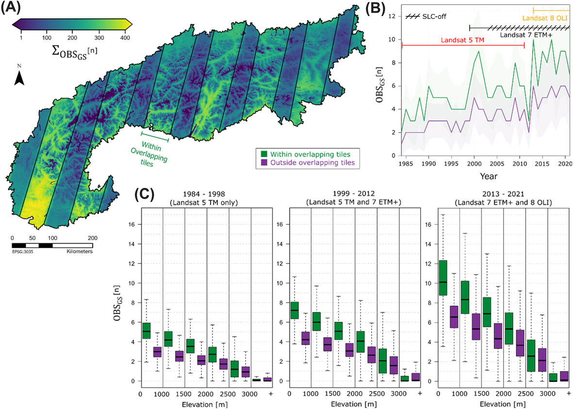
We all think we know how much #Landsat and #Sentinel-2 data is in the archives🛰️
🌍Global edition
🚨See our new paper and dataset to check 1982-2023 data availability for your study site:
https://t.co/2wdCn4qtXE
#GEE data viewer: https://t.co/bkpyB4e4xl
@d__frantz @HumboldtEOLab
Fields of The World is an open-source project (links below). We hope to grow the dataset in the future with community contributions.
📄 https://t.co/iL1dMVGZDD
🌐 https://t.co/cR9LI7f70T
Data https://t.co/YtNsQEzIxe
Code https://t.co/MXSCEshNOf
Requests https://t.co/VSOJcdjaIC
@Nrg8000@SatelliteSci The where masking option that you use produces missing pixels whereas the updateMask option does not. It seems to me that the updateMask option is the correct approach here. https://t.co/Au55JVqQP9
Landsat-based greening trends in alpine ecosystems are inflated by multidecadal increases in summer observations https://t.co/hMP0gtawa4 #Landsat#RemoteSensing#Greening@NordicOikos @WileyEcolEvol
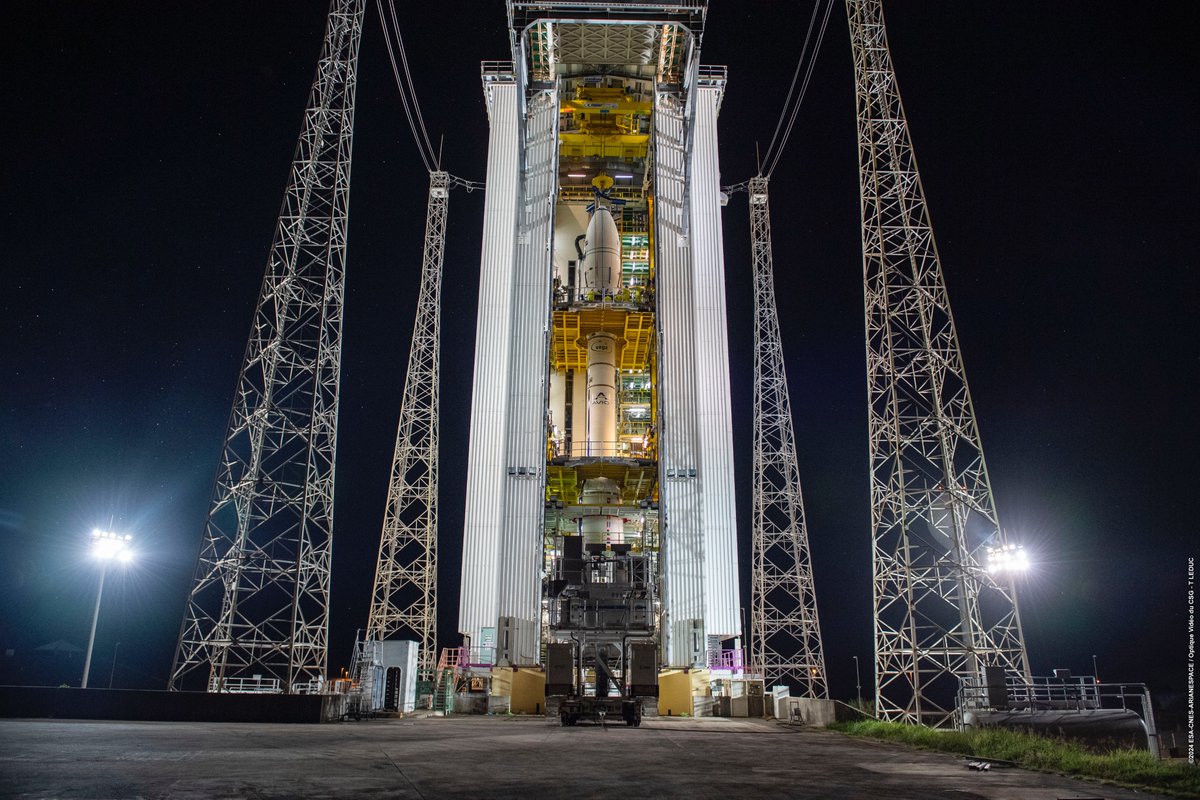
The Sentinel-2C satellite that should be launched tonight is expected to replace the Sentinel-2A satellite, which is, as far as I know, a perfectly healthy mission that is still performing well more than 9 years after launch. However, why should a successful launch of Sentinel-2C lead to the decommissioning of a functioning Sentinel-2A satellite?
If S-2A is not shut down, it would mean that for the first time ever, we will have three Sentinel satellites in orbit, which should significantly increase the revisit time of the Sentinel constellation (currently once every five days to twice every five days). This has benefits across applications such as land cover classification, crop yield forecasting, disaster management, and several other use cases with societal, economic, and environmental impacts.
Are these benefits not worth the few million euros per year required to keep Sentinel-2A operational for as long as possible? Or are there other reasons besides cost that I am overlooking?
@sherwang Thanks for the heads up :).
Since the oloffson method and PPI produce similar results for area estimation, when (in practice) would you suggest using one approach over the other?
Our paper "Regression Trees for Fast and Adaptive Prediction Intervals," co-authored with @kuben45, @mpotto1 and @rbstern, is now published in Information Sciences! 🎉
We introduce Locart and Loforest to calibrate prediction intervals for regression with coverage guarantees. +
arXiv -> alphaXiv
Students at Stanford have built alphaXiv, an open discussion forum for arXiv papers. @askalphaxiv
You can post questions and comments directly on top of any arXiv paper by changing arXiv to alphaXiv in any URL!
Announcing FastHTML. A new way to create modern interactive web apps.
Scales down to a 6-line python file; scales up to complex production apps.
Auth, DBs, caching, styling, etc built-in & replaceable and extensible. 1-click deploy to @Railway, @vercel, @huggingface, & more.
🌍 Join our new Discord server! 💻 Discuss and collaborate on open-source #geospatial projects like geemap, leafmap, samgeo, and more. 👨💻 All are welcome.
GitHub: https://t.co/pUJ5bSv6YN
Discord: https://t.co/6RmHWeBxJ8
My take on the 'Anatomy of a Matplotlib Figure' for geospatial visualization. Check out the notebook that creates the plot using #matplotlib using fancyarrowpatch annotations. Feel free to use/adapt for your own teaching! https://t.co/lfCqx8svMo