A passion for all things #SAR | #WomeninSAR | @eoscenefrom | We 💜@LadiesofLandsat & @DamesofDrones| Tweets by @LDR1, @SAR_ahBanks, @Go__Pika & @ant_dasgupta |
👋Sisters of SAR will be taking a pause from our weekly schedule of tweeting as life has gotten a lot more busy for all of us here! We will still tweet when we can about #SAR & #SAR news but not as formal as before! 😊Thanks for following! We will be back! #EOChat
🔔The 8th edition of the @DLR_en and @esa open PolinSAR training course 2024 is ready to accept applications!
This hands-on course is organised around 11 sessions over 11 weeks
Apply now at👉https://t.co/wevgx5uac4
📅deadline 11/10/2024
@ESA_EO@SistersofSAR@InSARinfo
Dive into this 9-look CSI of Porto Turistico di Oristano, Italy, brought to life with colormaps optimized for CSI interpretation. See the unseen in vivid detail with Capella by your side!
#CapellaSpace#SARdata#EarthObservation
I am looking for a new PhD student to work on an exciting remote sensing project using airborne hyperspectral imagery and machine learning/AI to find ancient trees in the rugged and remote Tasmanian landscape. More information here: https://t.co/oWHgrqrQZo
Visit OUR NEW PAPER: Exploiting #SATELLITE#SAR for archaeological prospection and #heritage site protection
The researchers focus on Rome (#Italy), #Wuhan (China), the Jiuzhaigou National Park (#China), and the Siberian “Valley of the Kings” (#Russia)
https://t.co/a85NnXTfPm
🆕GRSS article of the week
📰Title: Explainable, Physics-Aware, Trustworthy Artificial Intelligence: A paradigm shift for synthetic aperture radar
✍️Authors: M. Datcu, Z. Huang, A. Anghel, J. Zhao, R. Cacoveanu
📎 DOI: https://t.co/Ov6AJH5RKs
#SAR#XAI#IEEE
🌍🔍 Excited to share our latest research on #Landslides using space-borne SAR interferometry! This study, part of the ESA-MOST Dragon-5 initiative, enhances landslide detection and early warning systems. 🚨🏞️ #RemoteSensing#Geohazards#SAR#InSAR
👉 https://t.co/vO9lt2UwNO
#SAR is important for operational applications in the cloudy tropics, but Sentinel-1's C-band doesn't do a good job of detecting deforestation where the biomass remains on the ground. They are eagerly looking forward to NISAR for better deforestation data
Launch success! Communication has been established with all four ICEYE #SAR satellites sent into orbit on SpaceX's Transporter-11 mission.
Read more in our press release: https://t.co/pir5eeIUXY
(Video:SpaceX)
How can you elevate your flood response with ICEYE's integrated data layers?
Discover our AI-powered, multi-source approach that combines radar satellite imagery and advanced data sets into actionable flood intelligence. Learn more at https://t.co/Wxu7zhbyxw.
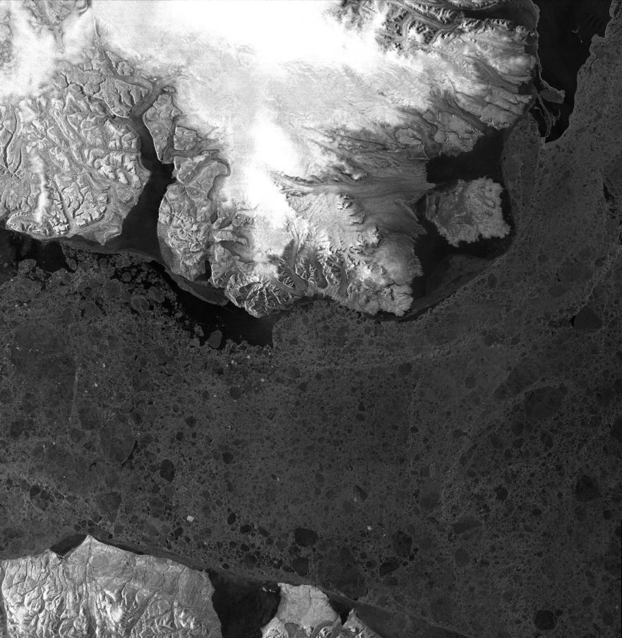
Incredible view of Baffin Bay area captured by @DLR_en@AirbusSpace's TerraSAR-X 🛰️ in May 2021. Ice cover 🧊 makes navigation difficult most of the year due to the high density of floating ice and icebergs.
Learn more: https://t.co/vCUbnD9L9s
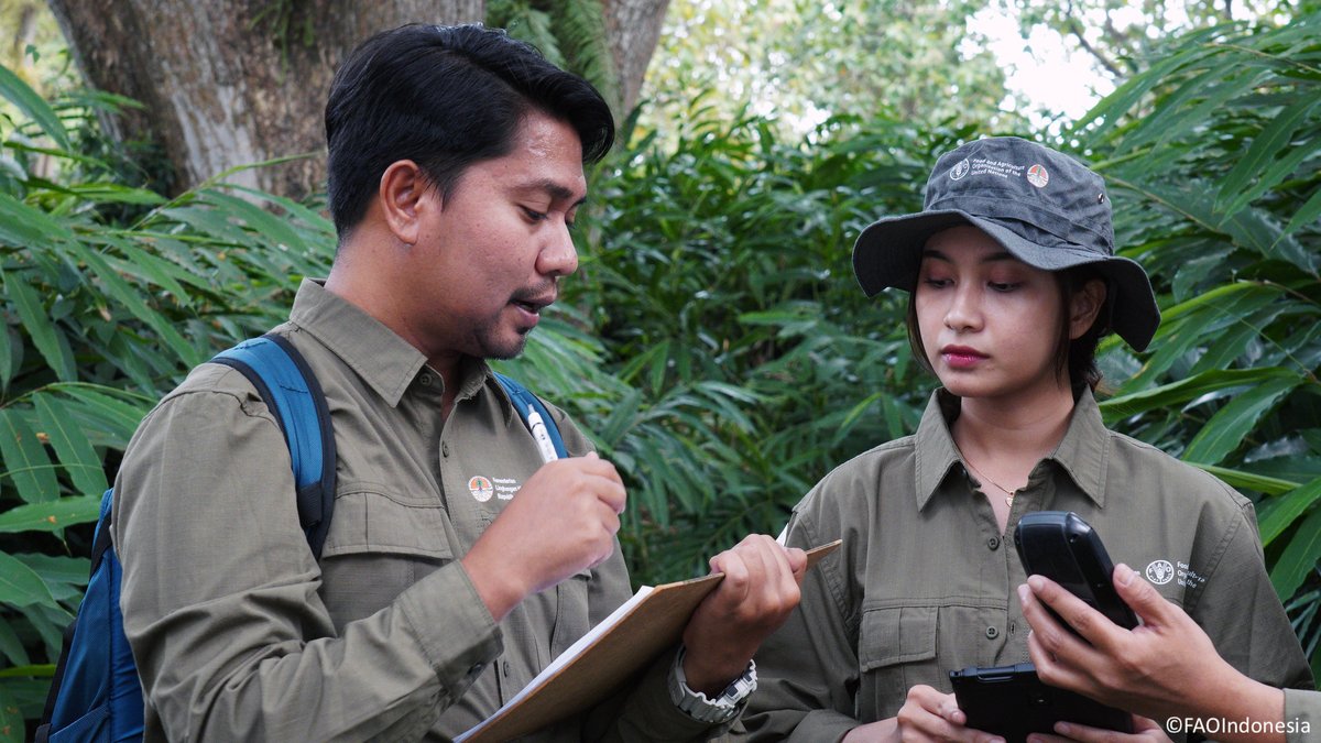
With support from @theGEF, @FAO has launched a new phase of work to assist developing countries to monitor & report data on the state & changes in their forest cover more effectively & transparently.
Read more 👉 https://t.co/xjDkoNawxC
#CBITForest#ClimateAction@UNFCCC
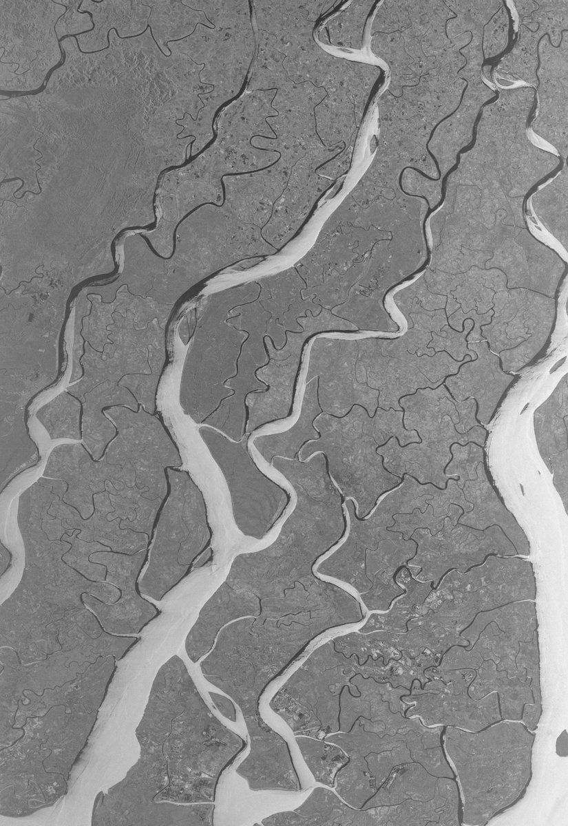
.@ICEYEfi's SAR Radar (VHR) captured Myanmar's Irrawaddy region, a major rice-producing area. The 4 states in the Irrawaddy River Delta contribute significantly to the country's rice crop.
@ESA's catalog access: https://t.co/PrGTesSSYT
Dissemination map: https://t.co/XguuwTPDct
Did you know? Synthetic Aperture Radar (SAR) interferometric (InSAR) technique can detect surface deformations with millimeter-level accuracy. It's crucial for monitoring infrastructures like railways. 🛰️🚄
Data access: https://t.co/c01ZnNNGJR
📷@dlr_en@airbusspace#TerraSARX